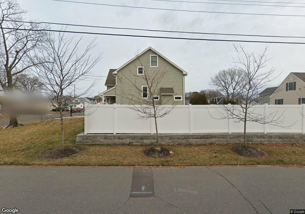
1420 Joseph St Point Pleasant Boro, NJ 08742
Estimated Value: $1,153,000 - $1,385,000
4
Beds
3
Baths
2,668
Sq Ft
$487/Sq Ft
Est. Value
About This Home
This home is located at 1420 Joseph St, Point Pleasant Boro, NJ 08742 and is currently estimated at $1,299,317, approximately $487 per square foot. 1420 Joseph St is a home with nearby schools including Point Pleasant High School and St. Peter School.
Ownership History
Date
Name
Owned For
Owner Type
Purchase Details
Closed on
Dec 16, 2013
Sold by
Bay Park Properties Llc
Bought by
Helm John and Helm Stephanie
Current Estimated Value
Home Financials for this Owner
Home Financials are based on the most recent Mortgage that was taken out on this home.
Original Mortgage
$492,000
Outstanding Balance
$369,757
Interest Rate
4.35%
Mortgage Type
New Conventional
Estimated Equity
$929,560
Purchase Details
Closed on
Jul 31, 2012
Sold by
Sabatino Lisa
Bought by
Bay/Park Properties Llc
Create a Home Valuation Report for This Property
The Home Valuation Report is an in-depth analysis detailing your home's value as well as a comparison with similar homes in the area
Home Values in the Area
Average Home Value in this Area
Purchase History
| Date | Buyer | Sale Price | Title Company |
|---|---|---|---|
| Helm John | $631,000 | Coastal Title Agency Inc | |
| Bay/Park Properties Llc | $195,000 | Chicago Title Insurance Co |
Source: Public Records
Mortgage History
| Date | Status | Borrower | Loan Amount |
|---|---|---|---|
| Open | Helm John | $492,000 |
Source: Public Records
Tax History Compared to Growth
Tax History
| Year | Tax Paid | Tax Assessment Tax Assessment Total Assessment is a certain percentage of the fair market value that is determined by local assessors to be the total taxable value of land and additions on the property. | Land | Improvement |
|---|---|---|---|---|
| 2025 | $13,862 | $606,100 | $206,500 | $399,600 |
| 2024 | $13,249 | $606,100 | $206,500 | $399,600 |
| 2023 | $12,977 | $606,100 | $206,500 | $399,600 |
| 2022 | $12,977 | $606,100 | $206,500 | $399,600 |
| 2021 | $12,777 | $606,100 | $206,500 | $399,600 |
| 2020 | $12,643 | $606,100 | $206,500 | $399,600 |
| 2019 | $12,035 | $584,800 | $206,500 | $378,300 |
| 2018 | $11,678 | $584,800 | $206,500 | $378,300 |
| 2017 | $11,421 | $584,800 | $206,500 | $378,300 |
| 2016 | $11,333 | $584,800 | $206,500 | $378,300 |
| 2015 | $11,199 | $584,800 | $206,500 | $378,300 |
| 2014 | $10,942 | $206,500 | $206,500 | $0 |
Source: Public Records
Map
Nearby Homes
- 1325 Bay Ave
- 821 South St
- 1319 Charles St
- 1501 Hulse Rd Unit 3
- 1501 Hulse Rd Unit 22
- 1413 George St
- 709 Howe St
- 915 Brooks Rd
- 230 Bridge Ave
- 212 Howe St
- 2119 Foster Rd
- 704 Mount Place
- 2121 Foster Rd
- 1216 Wilmington St
- 917 Route 88 Unit 5
- 1122 Borden Ave
- 141 Maple Dr
- 2221 Wilson Rd
- 1215 Johnson Ave
- 2142 Beach Blvd