1420 May Rd Mogadore, OH 44260
Estimated Value: $351,000 - $571,491
3
Beds
2
Baths
2,448
Sq Ft
$176/Sq Ft
Est. Value
About This Home
This home is located at 1420 May Rd, Mogadore, OH 44260 and is currently estimated at $430,373, approximately $175 per square foot. 1420 May Rd is a home located in Portage County with nearby schools including Suffield Elementary School, Field Middle School, and Field High School.
Ownership History
Date
Name
Owned For
Owner Type
Purchase Details
Closed on
May 15, 2014
Sold by
Parson Cecil P and Robinson Kathy A
Bought by
Parsons Cecil L and The Cecil L Parsons Trust
Current Estimated Value
Purchase Details
Closed on
Mar 16, 1999
Sold by
Parsons Cecil L
Bought by
Parsons Cecil L and Robinson Kathy A
Home Financials for this Owner
Home Financials are based on the most recent Mortgage that was taken out on this home.
Original Mortgage
$175,000
Outstanding Balance
$47,589
Interest Rate
6.8%
Estimated Equity
$382,784
Purchase Details
Closed on
Sep 9, 1994
Sold by
Suffield Post 3058 Vfw
Bought by
Parsons Cecil L
Create a Home Valuation Report for This Property
The Home Valuation Report is an in-depth analysis detailing your home's value as well as a comparison with similar homes in the area
Purchase History
| Date | Buyer | Sale Price | Title Company |
|---|---|---|---|
| Parsons Cecil L | -- | None Available | |
| Parsons Cecil L | -- | Approved Statewide Title Age | |
| Parsons Cecil L | $14,000 | -- |
Source: Public Records
Mortgage History
| Date | Status | Borrower | Loan Amount |
|---|---|---|---|
| Open | Parsons Cecil L | $175,000 |
Source: Public Records
Tax History
| Year | Tax Paid | Tax Assessment Tax Assessment Total Assessment is a certain percentage of the fair market value that is determined by local assessors to be the total taxable value of land and additions on the property. | Land | Improvement |
|---|---|---|---|---|
| 2024 | $6,904 | $184,590 | $24,150 | $160,440 |
| 2023 | $6,298 | $139,380 | $18,660 | $120,720 |
| 2022 | $6,327 | $139,380 | $18,660 | $120,720 |
| 2021 | $6,304 | $139,380 | $18,660 | $120,720 |
| 2020 | $5,846 | $118,410 | $18,660 | $99,750 |
| 2019 | $5,878 | $118,410 | $18,660 | $99,750 |
| 2018 | $4,561 | $107,100 | $20,510 | $86,590 |
| 2017 | $4,413 | $107,100 | $20,510 | $86,590 |
| 2016 | $4,394 | $107,100 | $20,510 | $86,590 |
Source: Public Records
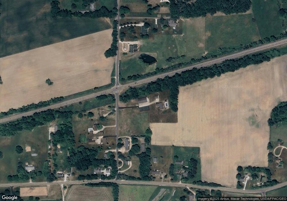
Map
Nearby Homes
- 1791 Winterhaven Dr
- 1707 Congress Lake Rd
- 1298 Aberagg Rd
- 1254 Aberagg Rd
- 1078 Aberagg Rd
- 1811 Randolph Rd
- S/L 11 959 Sunrise Dr
- S/L 38 1150 Lakeview Dr
- VL 863 State Route 43
- 3079 Alexander Rd
- 0 Randolph Rd Unit 5189131
- 1026 Hartville Rd N
- 1556 Saxe Rd
- 0 Hartville Rd
- 2099 Pontius Rd
- 3080 Saxe Rd
- 0 Pontius St NE
- 1583 Ohio 44
- 800 Martin Rd
- 1480 State Route 44
- 1386 May Rd
- 1395 1397 May Rd
- 1431 May Rd
- 1358 May Rd
- 1395 May Rd
- 1367 May Rd
- 2087 Waterloo Rd
- 1381 May Rd
- 2005 Waterloo Rd
- 2092 Waterloo Rd
- 2145 Waterloo Rd
- 1961 Waterloo Rd
- 1515 May Rd
- 1957 Waterloo Rd
- 2187 Waterloo Rd
- 2191 Waterloo Rd
- 1543 May Rd
- 1935 Waterloo Rd
- 2203 Waterloo Rd
- 1450 Whitehall Dr
Your Personal Tour Guide
Ask me questions while you tour the home.