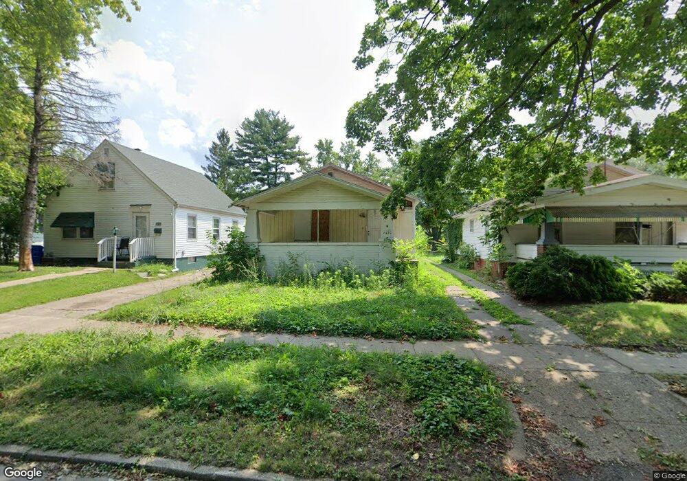
1420 N Huron St Decatur, IL 62526
Neighborhood Empowerment NeighborhoodEstimated Value: $36,652 - $48,000
3
Beds
1
Bath
2,080
Sq Ft
$20/Sq Ft
Est. Value
About This Home
This home is located at 1420 N Huron St, Decatur, IL 62526 and is currently estimated at $42,413, approximately $20 per square foot. 1420 N Huron St is a home located in Macon County with nearby schools including Stephen Decatur Middle School, St. Patrick School, and Teen Challenge-Home For Girls.
Ownership History
Date
Name
Owned For
Owner Type
Purchase Details
Closed on
Nov 4, 2022
Sold by
Central Illinois Land Bank Authority
Bought by
Habitat For Humanity Of Decatur Area Inc
Current Estimated Value
Purchase Details
Closed on
Jun 3, 2022
Sold by
Dcdf Inc
Bought by
Central Illinois Land Bank Authority
Purchase Details
Closed on
Apr 20, 2015
Purchase Details
Closed on
May 12, 2014
Sold by
Atwell Curtis
Bought by
Us Bank Na
Purchase Details
Closed on
Dec 15, 2006
Sold by
The Lanark Group Llc
Bought by
Atwell Curtis
Create a Home Valuation Report for This Property
The Home Valuation Report is an in-depth analysis detailing your home's value as well as a comparison with similar homes in the area
Home Values in the Area
Average Home Value in this Area
Purchase History
| Date | Buyer | Sale Price | Title Company |
|---|---|---|---|
| Habitat For Humanity Of Decatur Area Inc | -- | -- | |
| Central Illinois Land Bank Authority | -- | None Listed On Document | |
| -- | -- | -- | |
| Us Bank Na | -- | Premier Title | |
| Atwell Curtis | $47,000 | None Available |
Source: Public Records
Tax History Compared to Growth
Tax History
| Year | Tax Paid | Tax Assessment Tax Assessment Total Assessment is a certain percentage of the fair market value that is determined by local assessors to be the total taxable value of land and additions on the property. | Land | Improvement |
|---|---|---|---|---|
| 2024 | $1,068 | $11,036 | $436 | $10,600 |
| 2023 | $1,060 | $10,646 | $421 | $10,225 |
| 2022 | $422 | $9,851 | $389 | $9,462 |
| 2021 | $947 | $9,200 | $364 | $8,836 |
| 2020 | $933 | $8,774 | $348 | $8,426 |
| 2019 | $933 | $8,774 | $348 | $8,426 |
| 2018 | $1,013 | $9,637 | $244 | $9,393 |
| 2017 | $1,036 | $9,894 | $250 | $9,644 |
| 2016 | $1,056 | $9,995 | $253 | $9,742 |
| 2015 | $1,122 | $10,973 | $220 | $10,753 |
| 2014 | $1,042 | $10,865 | $218 | $10,647 |
| 2013 | -- | $11,273 | $226 | $11,047 |
Source: Public Records
Map
Nearby Homes
- 837 W Grand Ave
- 1545 N Monroe St
- 1504 N Monroe St
- 644 W Division St
- 1653 N Maple Ave
- 933 W Division St
- 1245 N Union St
- 1915 N Monroe St
- 844 N Edward St
- 1558 N Main St
- 1568 N Main St
- 415 W Green St
- 875 N Monroe St
- 141 E Packard St
- 230 W Garfield Ave
- 1065 W Green St
- 1319 W Waggoner St
- 240 E Olive St
- 917 N Wilder Ave
- 1535 N Mcclellan Ave
- 1390 N Huron St
- 1428 N Huron St
- 1380 N Huron St
- 1436 N Huron St
- 704 W Waggoner St
- 1368 N Huron St
- 1444 N Huron St
- 712 W Waggoner St
- 1445 N Huron St
- 1364 N Huron St
- 720 W Waggoner St
- 661 W Center St
- 653 W Center St
- 1356 N Huron St
- 647 W Center St
- 717 W Center St
- 713 W Waggoner St
- 730 W Waggoner St
- 705 W Center St
- 639 W Center St