1420 N Willard Rd Cottonwood, AZ 86326
Estimated Value: $222,000 - $359,000
--
Bed
--
Bath
1,080
Sq Ft
$269/Sq Ft
Est. Value
About This Home
This home is located at 1420 N Willard Rd, Cottonwood, AZ 86326 and is currently estimated at $290,206, approximately $268 per square foot. 1420 N Willard Rd is a home with nearby schools including Cottonwood Elementary School, Dr Daniel Bright Elementary School, and Cottonwood Community School.
Ownership History
Date
Name
Owned For
Owner Type
Purchase Details
Closed on
Mar 17, 2023
Sold by
Mccracken Clare C
Bought by
Mccracken Kerry F
Current Estimated Value
Home Financials for this Owner
Home Financials are based on the most recent Mortgage that was taken out on this home.
Original Mortgage
$155,000
Outstanding Balance
$142,976
Interest Rate
5%
Mortgage Type
Seller Take Back
Estimated Equity
$147,230
Purchase Details
Closed on
Dec 6, 2022
Sold by
Spillman Grace
Bought by
Mccracken Clare C
Purchase Details
Closed on
Nov 4, 1996
Sold by
Oreilly Edward J
Bought by
Spillman Grace
Create a Home Valuation Report for This Property
The Home Valuation Report is an in-depth analysis detailing your home's value as well as a comparison with similar homes in the area
Home Values in the Area
Average Home Value in this Area
Purchase History
| Date | Buyer | Sale Price | Title Company |
|---|---|---|---|
| Mccracken Kerry F | -- | -- | |
| Mccracken Clare C | $201,000 | Yavapai Title Agency | |
| Spillman Grace | -- | First American Title Ins | |
| Spillman Grace | $62,500 | First American Title Ins |
Source: Public Records
Mortgage History
| Date | Status | Borrower | Loan Amount |
|---|---|---|---|
| Open | Mccracken Kerry F | $155,000 |
Source: Public Records
Tax History Compared to Growth
Tax History
| Year | Tax Paid | Tax Assessment Tax Assessment Total Assessment is a certain percentage of the fair market value that is determined by local assessors to be the total taxable value of land and additions on the property. | Land | Improvement |
|---|---|---|---|---|
| 2026 | $1,079 | $19,354 | -- | -- |
| 2024 | $892 | $18,722 | -- | -- |
| 2023 | $892 | $16,083 | $0 | $0 |
| 2022 | $448 | $12,906 | $4,120 | $8,786 |
| 2021 | $454 | $12,847 | $4,923 | $7,924 |
| 2020 | $431 | $0 | $0 | $0 |
| 2019 | $410 | $0 | $0 | $0 |
| 2018 | $379 | $0 | $0 | $0 |
| 2017 | $347 | $0 | $0 | $0 |
| 2016 | $323 | $0 | $0 | $0 |
| 2015 | -- | $0 | $0 | $0 |
| 2014 | -- | $0 | $0 | $0 |
Source: Public Records
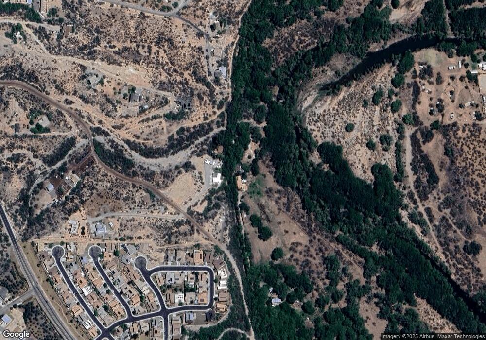
Map
Nearby Homes
- 452 Geary Heights Rd
- 1580 Whitetail Run
- 1535 Javelina Hill Rd
- 1345 Whitetail Run
- 561 El Rancho Dr
- 1102 Nicklaus Dr
- 1081 Crenshaw Ave Unit 187
- 1054 Crenshaw Ave Unit 200
- 0 Geary Heights Rd
- 1123 N Main St
- 1064 Crenshaw Ave Unit 198
- 1066 Crenshaw Ave Unit 197
- 1084 Crenshaw Ave Unit 194
- 1100 Crenshaw Ave Unit 191
- 701 Couples Dr Unit 145
- 1052 Nelson Place Unit 217
- 695 E Cliffside Dr
- 1055 Watson Dr Unit 220
- 1050 Watson Dr Unit 138
- 1086 Watson Dr Unit 134