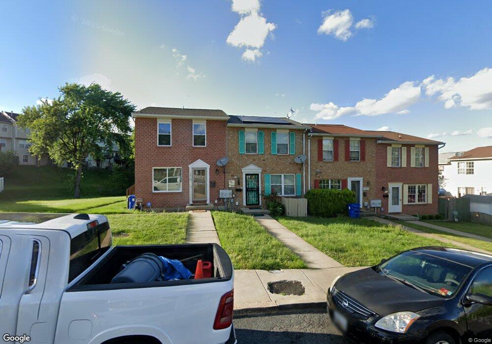
1420 Olmstead St Curtis Bay, MD 21226
Curtis Bay NeighborhoodEstimated Value: $174,856 - $183,000
--
Bed
1
Bath
1,008
Sq Ft
$178/Sq Ft
Est. Value
About This Home
This home is located at 1420 Olmstead St, Curtis Bay, MD 21226 and is currently estimated at $178,928, approximately $177 per square foot. 1420 Olmstead St is a home located in Baltimore City with nearby schools including Curtis Bay Elementary School, Booker T. Washington Middle School, and Benjamin Franklin High School.
Ownership History
Date
Name
Owned For
Owner Type
Purchase Details
Closed on
Jan 8, 2007
Sold by
Young Robert
Bought by
Grimes Keith G and Grimes Trac
Current Estimated Value
Home Financials for this Owner
Home Financials are based on the most recent Mortgage that was taken out on this home.
Original Mortgage
$163,337
Outstanding Balance
$97,773
Interest Rate
6.24%
Mortgage Type
VA
Estimated Equity
$81,155
Purchase Details
Closed on
Nov 29, 2004
Sold by
Lasalle Bank Na
Bought by
Young Robert and Young Concetta
Purchase Details
Closed on
Oct 28, 1998
Sold by
Secretary Of U S Dept
Bought by
Lewis Annette and Lewis Jason
Purchase Details
Closed on
Jun 18, 1998
Sold by
Simmons John R
Bought by
Secretary Of U S Dept and Of Housing & Urban
Create a Home Valuation Report for This Property
The Home Valuation Report is an in-depth analysis detailing your home's value as well as a comparison with similar homes in the area
Home Values in the Area
Average Home Value in this Area
Purchase History
| Date | Buyer | Sale Price | Title Company |
|---|---|---|---|
| Grimes Keith G | $159,900 | -- | |
| Young Robert | $64,500 | -- | |
| Lasalle Bank Na | $58,650 | -- | |
| Lewis Annette | $58,500 | -- | |
| Secretary Of U S Dept | $81,584 | -- |
Source: Public Records
Mortgage History
| Date | Status | Borrower | Loan Amount |
|---|---|---|---|
| Open | Grimes Keith G | $163,337 |
Source: Public Records
Tax History Compared to Growth
Tax History
| Year | Tax Paid | Tax Assessment Tax Assessment Total Assessment is a certain percentage of the fair market value that is determined by local assessors to be the total taxable value of land and additions on the property. | Land | Improvement |
|---|---|---|---|---|
| 2025 | $2,342 | $129,200 | -- | -- |
| 2024 | $2,342 | $119,000 | $0 | $0 |
| 2023 | $2,305 | $108,800 | $15,000 | $93,800 |
| 2022 | $2,226 | $105,333 | $0 | $0 |
| 2021 | $2,404 | $101,867 | $0 | $0 |
| 2020 | $2,086 | $98,400 | $15,000 | $83,400 |
| 2019 | $2,075 | $98,400 | $15,000 | $83,400 |
| 2018 | $2,114 | $98,400 | $15,000 | $83,400 |
| 2017 | $2,448 | $127,700 | $0 | $0 |
| 2016 | $2,140 | $127,700 | $0 | $0 |
| 2015 | $2,140 | $127,700 | $0 | $0 |
| 2014 | $2,140 | $127,700 | $0 | $0 |
Source: Public Records
Map
Nearby Homes
- 4030 Pennington Ave
- 4018 Pennington Ave
- 3809 Pascal Ave
- 4116 Morrison Ct
- 4203 Morrison Ct
- 3808 Pennington Ave
- 4206 Grace Ct
- 1614 Popland St
- 4415 Fairhaven Ave
- 1510 Sycamore St
- 4222 Grace Ct
- 4211 Grace Ct
- 1626 Hazel St
- 3625 Everett St
- 3623 Everett St
- 1150 Monroe Cir
- 1509 Filbert St
- 1351 Cambria St
- 1607 Filbert St
- 1341 Cambria St
- 1422 Olmstead St
- 1424 Olmstead St
- 1418 Olmstead St
- 4106 Fairhaven Ave
- 4114 Fairhaven Ave
- 4112 Fairhaven Ave
- 4116 Fairhaven Ave
- 4110 Fairhaven Ave
- 1408 Olmstead St
- 4118 Fairhaven Ave
- 4108 Fairhaven Ave
- 4104 Fairhaven Ave
- 4102 Fairhaven Ave
- 4107 Pascal Ave
- 4109 Pascal Ave
- 4105 Pascal Ave
- 1406 Olmstead St
- 4111 Pascal Ave
- 4103 Pascal Ave
- 4100 Fairhaven Ave