1420 Reynolds Farm Rd Grovetown, GA 30813
Estimated Value: $127,000 - $186,000
2
Beds
1
Bath
972
Sq Ft
$166/Sq Ft
Est. Value
About This Home
This home is located at 1420 Reynolds Farm Rd, Grovetown, GA 30813 and is currently estimated at $161,444, approximately $166 per square foot. 1420 Reynolds Farm Rd is a home located in Columbia County with nearby schools including Euchee Creek Elementary School, Grovetown Middle School, and Grovetown High School.
Ownership History
Date
Name
Owned For
Owner Type
Purchase Details
Closed on
Oct 31, 2005
Sold by
Bell Billy W
Bought by
Howard Deborah A
Current Estimated Value
Home Financials for this Owner
Home Financials are based on the most recent Mortgage that was taken out on this home.
Original Mortgage
$75,905
Outstanding Balance
$40,832
Interest Rate
5.84%
Mortgage Type
New Conventional
Estimated Equity
$120,612
Purchase Details
Closed on
Sep 3, 2004
Sold by
Copeland Brett K
Bought by
Bell Billy W and Bell Mary
Home Financials for this Owner
Home Financials are based on the most recent Mortgage that was taken out on this home.
Original Mortgage
$71,090
Interest Rate
6.01%
Mortgage Type
FHA
Create a Home Valuation Report for This Property
The Home Valuation Report is an in-depth analysis detailing your home's value as well as a comparison with similar homes in the area
Home Values in the Area
Average Home Value in this Area
Purchase History
| Date | Buyer | Sale Price | Title Company |
|---|---|---|---|
| Howard Deborah A | $79,900 | -- | |
| Bell Billy W | $72,000 | -- |
Source: Public Records
Mortgage History
| Date | Status | Borrower | Loan Amount |
|---|---|---|---|
| Open | Howard Deborah A | $75,905 | |
| Previous Owner | Bell Billy W | $71,090 |
Source: Public Records
Tax History Compared to Growth
Tax History
| Year | Tax Paid | Tax Assessment Tax Assessment Total Assessment is a certain percentage of the fair market value that is determined by local assessors to be the total taxable value of land and additions on the property. | Land | Improvement |
|---|---|---|---|---|
| 2025 | $242 | $50,158 | $17,345 | $32,813 |
| 2024 | $44 | $41,753 | $11,109 | $30,644 |
| 2023 | $1 | $42,409 | $11,109 | $31,300 |
| 2022 | $46 | $41,767 | $11,109 | $30,658 |
| 2021 | $1,162 | $37,585 | $10,742 | $26,843 |
| 2020 | $0 | $37,653 | $10,591 | $27,062 |
| 2019 | $0 | $36,398 | $10,591 | $25,807 |
| 2018 | $0 | $34,439 | $10,591 | $23,848 |
| 2017 | $0 | $33,756 | $10,233 | $23,523 |
| 2016 | -- | $26,346 | $7,544 | $18,802 |
| 2015 | $1 | $25,984 | $7,544 | $18,440 |
| 2014 | $2 | $25,198 | $7,186 | $18,012 |
Source: Public Records
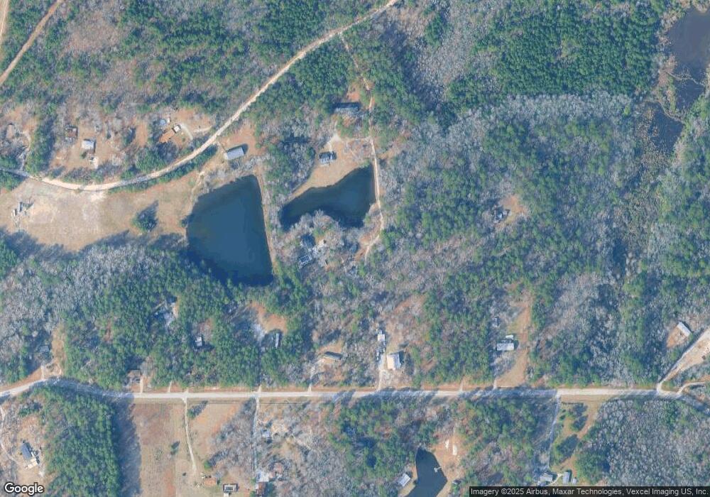
Map
Nearby Homes
- 1404 Reynolds Farm Rd
- 5719 Broad Oak Dr
- 5791 Jaime Dr
- 4001 - 4003 Greenbriar Dr
- 4001 Greenbriar Dr
- 0 Old Louisville Rd
- 1006 Old Louisville Rd
- 652 Al Dempsey Rd
- 1446 Lone Oak Rd
- 5631 Old Augusta Hwy
- 1421 Lone Oak Rd
- 1301 Newbern Dr Unit 11A
- 1303 Newbern Dr Unit 11B
- 1307 Newbern Dr Unit 11D
- 1305 Newbern Dr Unit 11C
- 1322 Newbern Dr Unit 8D
- 1328 Newbern Dr Unit 8A
- 1324 Newbern Dr Unit 8C
- 1326 Newbern Dr Unit 8B
- 1147 Clareton Dr Unit 7a
- 1418 Reynolds Farm Rd
- 1422 Reynolds Farm Rd
- 1422 Reynolds Farm Rd
- 5743 Broad Oak Dr
- 1450 Reynolds Farm Rd
- 5761 Broad Oak Dr
- 5727 Broad Oak Dr
- 5744 Broad Oak Dr
- 5765 Broad Oak Dr
- 1449 Reynolds Farm Rd
- 1449 Reynolds Farm Rd
- 5762 Broad Oak Dr
- 5720 Broad Oak Dr
- 5757 Spring Creek Rd
- 5757 Spring Creek Rd
- 5709 Broad Oak Dr
- 5749 Spring Creek Rd
- 1320 Old Louisville Rd
- 304 Teton Ct
- 5703 Broad Oak Dr