1420 Sfc 415 Forrest City, AR 72335
Estimated Value: $235,000 - $342,033
--
Bed
--
Bath
2,997
Sq Ft
$96/Sq Ft
Est. Value
About This Home
This home is located at 1420 Sfc 415, Forrest City, AR 72335 and is currently estimated at $288,517, approximately $96 per square foot. 1420 Sfc 415 is a home with nearby schools including Central Elementary School, Stewart Elementary School, and Forrest City Junior High School.
Ownership History
Date
Name
Owned For
Owner Type
Purchase Details
Closed on
Dec 30, 2024
Sold by
Smith Sara Elizabeth
Bought by
Smith Kyle Travis
Current Estimated Value
Purchase Details
Closed on
Jun 22, 2018
Sold by
Moore Jeremy and Moore Julie
Bought by
Smith Kyle Travis and Smith Sara Elizabeth
Home Financials for this Owner
Home Financials are based on the most recent Mortgage that was taken out on this home.
Original Mortgage
$306,850
Interest Rate
4.5%
Mortgage Type
New Conventional
Create a Home Valuation Report for This Property
The Home Valuation Report is an in-depth analysis detailing your home's value as well as a comparison with similar homes in the area
Home Values in the Area
Average Home Value in this Area
Purchase History
| Date | Buyer | Sale Price | Title Company |
|---|---|---|---|
| Smith Kyle Travis | -- | None Listed On Document | |
| Smith Kyle Travis | -- | None Listed On Document | |
| Smith Kyle Travis | -- | None Listed On Document | |
| Smith Kyle Travis | $323,000 | None Available |
Source: Public Records
Mortgage History
| Date | Status | Borrower | Loan Amount |
|---|---|---|---|
| Previous Owner | Smith Kyle Travis | $306,850 |
Source: Public Records
Tax History Compared to Growth
Tax History
| Year | Tax Paid | Tax Assessment Tax Assessment Total Assessment is a certain percentage of the fair market value that is determined by local assessors to be the total taxable value of land and additions on the property. | Land | Improvement |
|---|---|---|---|---|
| 2024 | $2,057 | $51,695 | $2,529 | $49,166 |
| 2023 | $1,882 | $47,290 | $2,530 | $44,760 |
| 2022 | $1,466 | $47,290 | $2,530 | $44,760 |
| 2021 | $1,411 | $45,880 | $2,770 | $43,110 |
| 2020 | $1,411 | $45,880 | $2,770 | $43,110 |
| 2019 | $1,457 | $45,880 | $2,770 | $43,110 |
| 2018 | $1,483 | $45,880 | $2,770 | $43,110 |
| 2017 | $1,821 | $45,880 | $2,770 | $43,110 |
| 2016 | $1,749 | $43,950 | $3,240 | $40,710 |
| 2015 | $1,749 | $43,950 | $3,240 | $40,710 |
| 2014 | $55 | $1,370 | $1,370 | $0 |
Source: Public Records
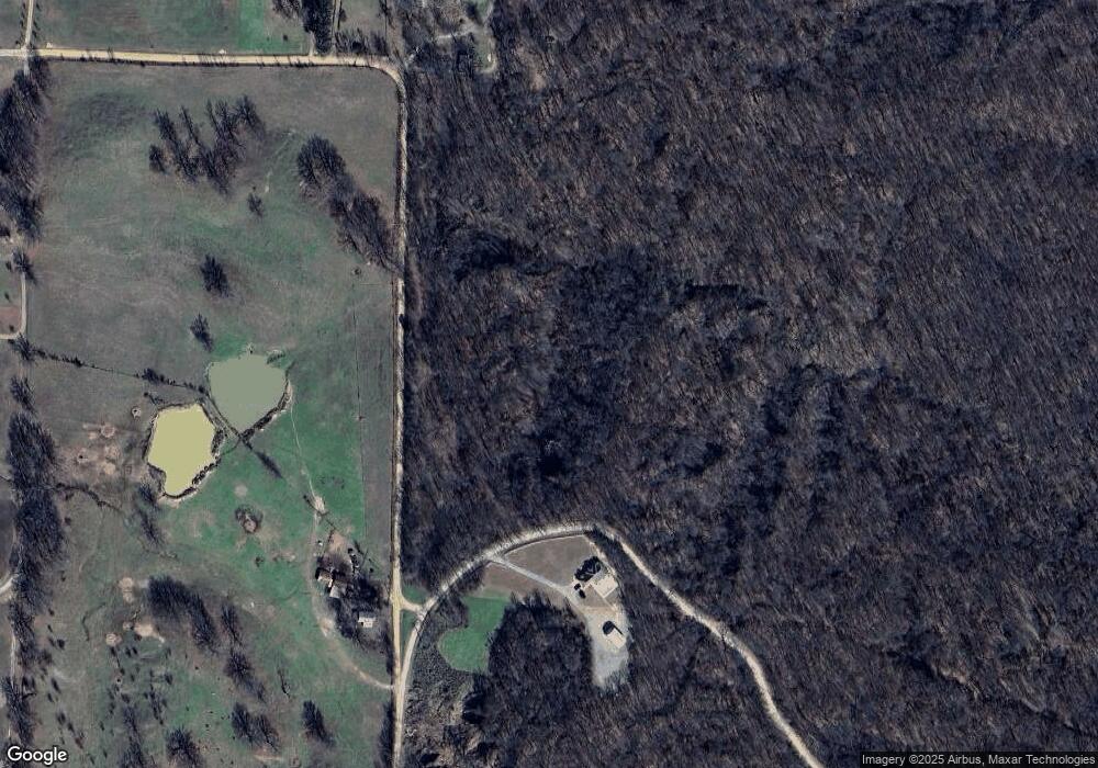
Map
Nearby Homes
- 8697 Highway 284
- 481 Sfc 333
- 802 Sfc 328
- 30+\- Acres Sfc 328
- 192 Sfc 322
- 2073 Arkansas 306
- 533 Sfc 311
- 0 Good Hope Rd
- 0 Sfc 355
- 347 Old Military Rd E
- 296 Old Military Rd E
- 105 Elm Ave
- 211 Woods Rd
- 2 Ridgewood Ln
- 719 Jackson St
- 51 Sfc 445
- 0 N Washington St
- 4.59 Acres N Washington St
- 917 Calvert Cove
- 361 Yorktown Dr