Estimated Value: $804,000 - $910,000
3
Beds
3
Baths
2,077
Sq Ft
$412/Sq Ft
Est. Value
About This Home
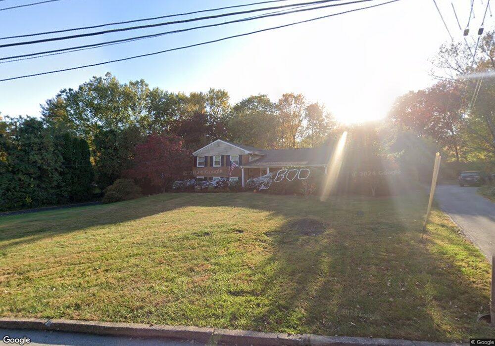
This home is located at 1420 Stirling Dr, Wayne, PA 19087 and is currently estimated at $855,514, approximately $411 per square foot. 1420 Stirling Dr is a home located in Chester County with nearby schools including Valley Forge Elementary School, Valley Forge Middle School, and Conestoga Senior High School.
Ownership History
Date
Name
Owned For
Owner Type
Purchase Details
Closed on
Dec 14, 2009
Sold by
Henry Robert Steven and Henry Van Valerie
Bought by
Mchugh Patrick M and Mchugh Kelly Anne
Current Estimated Value
Home Financials for this Owner
Home Financials are based on the most recent Mortgage that was taken out on this home.
Original Mortgage
$205,200
Outstanding Balance
$134,528
Interest Rate
5%
Mortgage Type
New Conventional
Estimated Equity
$720,986
Purchase Details
Closed on
Jan 29, 1997
Sold by
Henry Robert S and Henry Marie R
Bought by
Henry Robert Steven and Vanhenry Valerie Van
Home Financials for this Owner
Home Financials are based on the most recent Mortgage that was taken out on this home.
Original Mortgage
$20,472
Interest Rate
7.5%
Create a Home Valuation Report for This Property
The Home Valuation Report is an in-depth analysis detailing your home's value as well as a comparison with similar homes in the area
Home Values in the Area
Average Home Value in this Area
Purchase History
| Date | Buyer | Sale Price | Title Company |
|---|---|---|---|
| Mchugh Patrick M | $435,000 | None Available | |
| Henry Robert Steven | -- | -- |
Source: Public Records
Mortgage History
| Date | Status | Borrower | Loan Amount |
|---|---|---|---|
| Open | Mchugh Patrick M | $205,200 | |
| Previous Owner | Henry Robert Steven | $20,472 |
Source: Public Records
Tax History
| Year | Tax Paid | Tax Assessment Tax Assessment Total Assessment is a certain percentage of the fair market value that is determined by local assessors to be the total taxable value of land and additions on the property. | Land | Improvement |
|---|---|---|---|---|
| 2025 | $6,968 | $197,820 | $61,270 | $136,550 |
| 2024 | $6,968 | $197,820 | $61,270 | $136,550 |
| 2023 | $6,545 | $197,820 | $61,270 | $136,550 |
| 2022 | $6,376 | $197,820 | $61,270 | $136,550 |
| 2021 | $6,255 | $197,820 | $61,270 | $136,550 |
| 2020 | $6,007 | $195,350 | $61,270 | $134,080 |
| 2019 | $5,817 | $195,350 | $61,270 | $134,080 |
| 2018 | $5,702 | $195,350 | $61,270 | $134,080 |
| 2017 | $5,566 | $195,350 | $61,270 | $134,080 |
| 2016 | -- | $195,350 | $61,270 | $134,080 |
| 2015 | -- | $195,350 | $61,270 | $134,080 |
| 2014 | -- | $195,350 | $61,270 | $134,080 |
Source: Public Records
Map
Nearby Homes
- 116 Chase Rd Unit 108
- 290 Musket Ln
- 4 Knox Ct
- 65 Le Forge Ct Unit 65
- 66 Old Forge Crossing Unit 66
- 278 Old Forge Crossing Unit 278
- 340 Coldstream Dr
- 170, 200, 220 Old State Rd
- 201 Springhouse Pond
- 910 Mountainview Dr Unit 910
- 714 Gulph Rd
- 42 Drummers Ln
- 419 Drummers Ln Unit 419
- 176 Drummers Ln
- 134 Drummers Ln Unit 134
- 262 Drummers Ln Unit 262
- 275 Drummers Ln Unit 275
- 137 Drummers Ln
- 159 Drummers Ln Unit 159
- 71 Drummers Ln Unit 71
- 1430 Stirling Dr
- 145 Brookmead Rd
- 1442 Stirling Dr
- 1411 Stirling Dr
- 1437 Stirling Dr
- 1415 Potter Ln
- 1452 Stirling Dr
- 1423 Potter Ln
- 140 Brookmead Rd
- 152 Brookmead Rd
- 1435 Potter Ln
- 109 Brookmead Rd
- 1451 Stirling Dr
- 1441 Potter Ln
- 1395 Varnum Dr
- 1466 Stirling Dr
- 1449 Potter Ln
- 171 Brookmead Rd
- 166 Brookmead Rd
- 1457 Potter Ln
Your Personal Tour Guide
Ask me questions while you tour the home.