Estimated Value: $518,000 - $1,102,494
3
Beds
4
Baths
3,580
Sq Ft
$215/Sq Ft
Est. Value
About This Home
This home is located at 1420 W River Rd, Niles, MI 49120 and is currently estimated at $770,831, approximately $215 per square foot. 1420 W River Rd is a home with nearby schools including Ballard Elementary School, Oak Manor Sixth Grade Center, and Ring Lardner Middle School.
Ownership History
Date
Name
Owned For
Owner Type
Purchase Details
Closed on
Aug 30, 2023
Sold by
Tuthill Howard and Tuthill Laura
Bought by
Howard J Tuthill And Laura A Tuthill Revocabl and Tuthill
Current Estimated Value
Purchase Details
Closed on
Nov 22, 2016
Sold by
Knapp Joyce E and Joyce E Knapp Revocable Trust
Bought by
Tuthill Howard and Tuthill Laura
Purchase Details
Closed on
Apr 25, 2005
Sold by
Hurtik Rebecca J
Bought by
Knapp Joyce E and Joyce E Knapp Revocable Trust
Purchase Details
Closed on
Sep 27, 2002
Purchase Details
Closed on
Mar 21, 2000
Create a Home Valuation Report for This Property
The Home Valuation Report is an in-depth analysis detailing your home's value as well as a comparison with similar homes in the area
Purchase History
| Date | Buyer | Sale Price | Title Company |
|---|---|---|---|
| Howard J Tuthill And Laura A Tuthill Revocabl | -- | None Listed On Document | |
| Tuthill Howard | $115,000 | Mtc | |
| Knapp Joyce E | $100,000 | -- | |
| -- | $100 | -- | |
| -- | $85,000 | -- |
Source: Public Records
Tax History
| Year | Tax Paid | Tax Assessment Tax Assessment Total Assessment is a certain percentage of the fair market value that is determined by local assessors to be the total taxable value of land and additions on the property. | Land | Improvement |
|---|---|---|---|---|
| 2025 | $7,335 | $497,400 | $0 | $0 |
| 2024 | $4,043 | $424,000 | $0 | $0 |
| 2023 | $3,850 | $375,300 | $0 | $0 |
| 2022 | $3,667 | $315,600 | $0 | $0 |
| 2021 | $6,394 | $312,400 | $40,500 | $271,900 |
| 2020 | $6,309 | $314,500 | $0 | $0 |
| 2019 | $10,939 | $151,300 | $37,800 | $113,500 |
| 2018 | $6,287 | $151,300 | $0 | $0 |
| 2017 | $1,586 | $37,800 | $0 | $0 |
| 2016 | $865 | $42,500 | $0 | $0 |
| 2015 | $863 | $37,600 | $0 | $0 |
| 2014 | $401 | $37,200 | $0 | $0 |
Source: Public Records
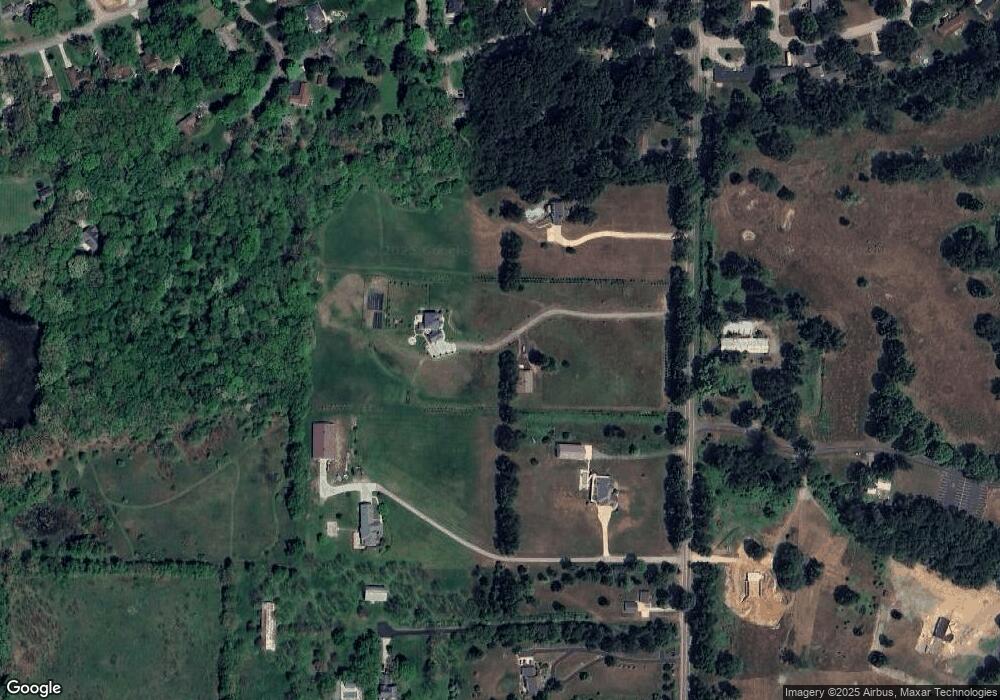
Map
Nearby Homes
- 0 Signal Point Dr Unit 26005621
- 1010 Tomahawk Ln
- 1695 Signal Point Dr
- V/L Wesaw Rd
- 1050 Pine St
- 1025 Joliet Dr
- 926 Birch St
- 621 French St
- 1 Grand Ave
- 144 Poppy Ct
- 124 S State St
- 1290 Missions East Dr
- 139 Poppy Ct
- 211 S Street Joseph Ave
- 220 Christiana Dr
- 11 N Barrett St
- 139 Tiger Lillie Ln
- 143 Sweet William Ln
- 117 N Fairview Ave
- 300 Carefree Ct
Your Personal Tour Guide
Ask me questions while you tour the home.