14200 Nesting Way Unit 10 Delray Beach, FL 33484
Palm Greens NeighborhoodEstimated Value: $185,465 - $264,000
2
Beds
2
Baths
1,255
Sq Ft
$178/Sq Ft
Est. Value
About This Home
This home is located at 14200 Nesting Way Unit 10, Delray Beach, FL 33484 and is currently estimated at $223,366, approximately $177 per square foot. 14200 Nesting Way Unit 10 is a home located in Palm Beach County with nearby schools including Banyan Creek Elementary School, Carver Community Middle School, and Atlantic High School.
Ownership History
Date
Name
Owned For
Owner Type
Purchase Details
Closed on
Sep 24, 2019
Sold by
Pino Loretta M and Pino John E
Bought by
Pino Loretta and Loretta Pino Revocable Trust
Current Estimated Value
Purchase Details
Closed on
Apr 14, 2005
Sold by
Eisner Alan D and Estate Of Bertha B Eisner
Bought by
Pino Loretta M
Home Financials for this Owner
Home Financials are based on the most recent Mortgage that was taken out on this home.
Original Mortgage
$100,400
Outstanding Balance
$51,166
Interest Rate
5.79%
Mortgage Type
Fannie Mae Freddie Mac
Estimated Equity
$172,200
Create a Home Valuation Report for This Property
The Home Valuation Report is an in-depth analysis detailing your home's value as well as a comparison with similar homes in the area
Home Values in the Area
Average Home Value in this Area
Purchase History
| Date | Buyer | Sale Price | Title Company |
|---|---|---|---|
| Pino Loretta | -- | Attorney | |
| Pino Loretta M | $125,500 | -- | |
| Pino Loretta M | -- | -- |
Source: Public Records
Mortgage History
| Date | Status | Borrower | Loan Amount |
|---|---|---|---|
| Open | Pino Loretta M | $100,400 |
Source: Public Records
Tax History Compared to Growth
Tax History
| Year | Tax Paid | Tax Assessment Tax Assessment Total Assessment is a certain percentage of the fair market value that is determined by local assessors to be the total taxable value of land and additions on the property. | Land | Improvement |
|---|---|---|---|---|
| 2025 | $609 | $60,230 | -- | -- |
| 2024 | $609 | $58,533 | -- | -- |
| 2023 | $591 | $56,828 | $0 | $0 |
| 2022 | $581 | $55,173 | $0 | $0 |
| 2021 | $560 | $53,566 | $0 | $0 |
| 2020 | $553 | $52,826 | $0 | $0 |
| 2019 | $553 | $51,638 | $0 | $0 |
| 2018 | $751 | $50,675 | $0 | $0 |
| 2017 | $725 | $49,633 | $0 | $0 |
| 2016 | $716 | $48,612 | $0 | $0 |
| 2015 | $721 | $48,274 | $0 | $0 |
| 2014 | $720 | $47,891 | $0 | $0 |
Source: Public Records
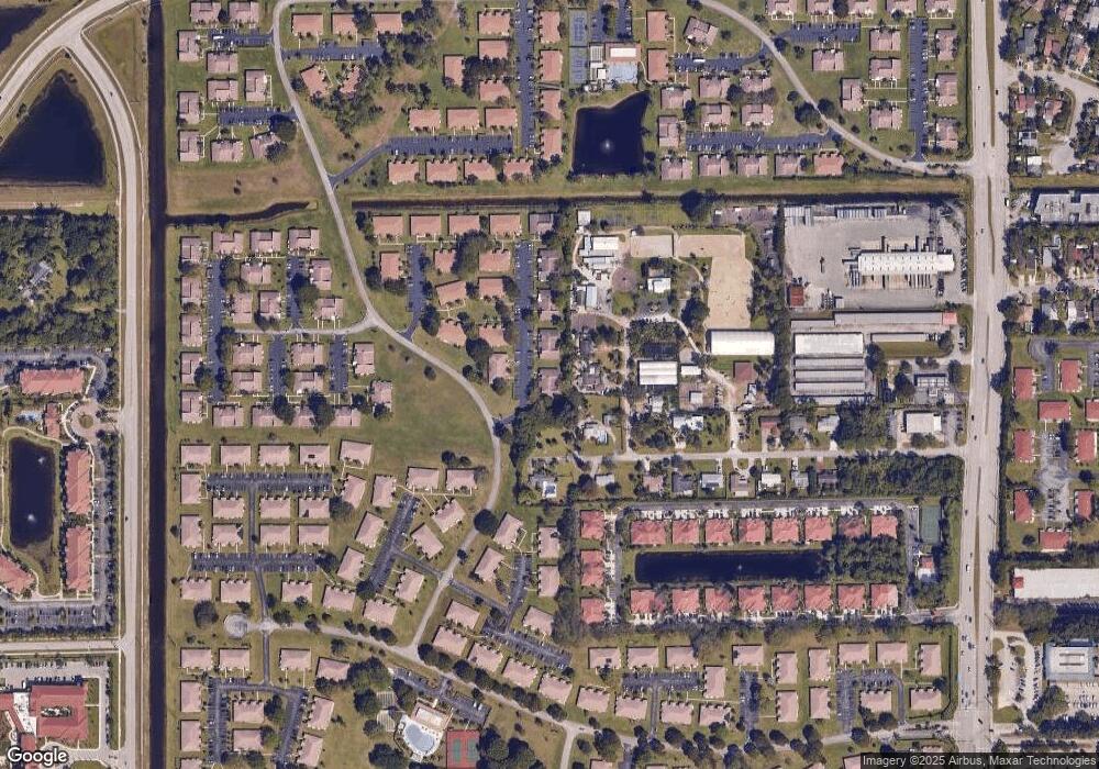
Map
Nearby Homes
- 14110 Nesting Way Unit 10
- 14080 Nesting Way Unit 10
- 14050 Nesting Way Unit 20
- 14215 Nesting Way Unit A
- 14079 Nesting Way Unit B
- 5270 Nesting Way Unit 20
- 14240 Nesting Way Unit D
- 5100 Nesting Way Unit C
- 14250 Nesting Way Unit B
- 13960 Nesting Way Unit 30
- 5070 Nesting Way Unit B
- 5300 Nesting Way Unit 365A
- 5220 Nesting Way Unit 40
- 5397 Lakefront Blvd Unit A
- 14280 Nesting Way Unit B
- 13950 Nesting Way Unit 30
- 14270 Nesting Way Unit B
- 5130 Nesting Way Unit D
- 5130 Nesting Way Unit C
- 13930 Nesting Way Unit 30
- 14200 Nesting Way Unit C
- 14200 Nesting Way Unit 20
- 14200 Nesting Way Unit 30
- 14200 Nesting Way Unit 40
- 14190 Nesting Way Unit 30
- 14190 Nesting Way Unit 10
- 14190 Nesting Way Unit 40
- 14190 Nesting Way Unit 20
- 14190 Nesting Way Unit A
- 14190 Nesting Way Unit D
- 14190 Nesting Way Unit C
- 14090 Nesting Way Unit 10
- 14090 Nesting Way Unit 20
- 14090 Nesting Way Unit 30
- 14090 Nesting Way Unit 40
- 14093 52nd Ave S
- 5237 Conklin Dr
- 14110 Nesting Way
- 14110 Nesting Way Unit 14110 C
- 14110 Nesting Way Unit 40