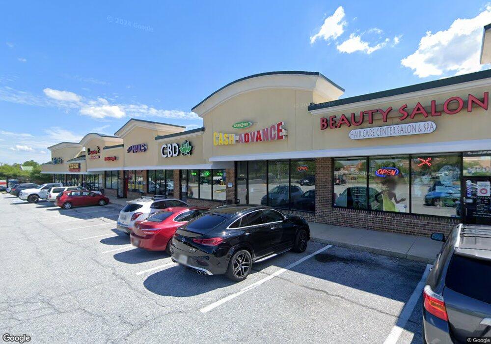
14201 Baltimore Ave Laurel, MD 20707
South Laurel Neighborhood
Studio
--
Bath
19,732
Sq Ft
67,518
Sq Ft Lot
About This Home
This home is located at 14201 Baltimore Ave, Laurel, MD 20707. 14201 Baltimore Ave is a home located in Prince George's County with nearby schools including James H. Harrison Elementary School, Dwight D. Eisenhower Middle School, and Laurel High School.
Ownership History
Date
Name
Owned For
Owner Type
Purchase Details
Closed on
Jul 20, 2017
Sold by
Js Lp Llc
Bought by
Laurel Pond Llc
Purchase Details
Closed on
Oct 25, 2016
Sold by
Laurel Pond Llc
Bought by
Rb Lp Llc
Purchase Details
Closed on
Nov 30, 2007
Sold by
Laurel Pond Ltd Partnership
Bought by
Laurel Pond Llc
Home Financials for this Owner
Home Financials are based on the most recent Mortgage that was taken out on this home.
Original Mortgage
$2,750,000
Interest Rate
6.37%
Mortgage Type
Commercial
Purchase Details
Closed on
Nov 20, 2007
Sold by
Laurel Pond Ltd Partnership
Bought by
Laurel Pond Llc
Home Financials for this Owner
Home Financials are based on the most recent Mortgage that was taken out on this home.
Original Mortgage
$2,750,000
Interest Rate
6.37%
Mortgage Type
Commercial
Create a Home Valuation Report for This Property
The Home Valuation Report is an in-depth analysis detailing your home's value as well as a comparison with similar homes in the area
Home Values in the Area
Average Home Value in this Area
Purchase History
| Date | Buyer | Sale Price | Title Company |
|---|---|---|---|
| Laurel Pond Llc | -- | None Available | |
| Laurel Pond Llc | -- | None Available | |
| Laurel Pond Llc | -- | None Available | |
| Rb Lp Llc | -- | None Available | |
| Js Lp Llc | -- | None Available | |
| Dt-Lp Llc | -- | None Available | |
| Laurel Pond Llc | -- | -- | |
| Laurel Pond Llc | -- | -- |
Source: Public Records
Mortgage History
| Date | Status | Borrower | Loan Amount |
|---|---|---|---|
| Previous Owner | Laurel Pond Llc | $2,750,000 | |
| Previous Owner | Laurel Pond Llc | $2,750,000 |
Source: Public Records
Tax History
| Year | Tax Paid | Tax Assessment Tax Assessment Total Assessment is a certain percentage of the fair market value that is determined by local assessors to be the total taxable value of land and additions on the property. | Land | Improvement |
|---|---|---|---|---|
| 2025 | $91,563 | $5,420,100 | $1,687,500 | $3,732,600 |
| 2024 | $91,563 | $5,962,400 | $1,687,500 | $4,274,900 |
| 2023 | $91,488 | $5,962,400 | $1,687,500 | $4,274,900 |
| 2022 | $76,537 | $6,882,800 | $1,687,500 | $5,195,300 |
| 2021 | $4,273 | $6,275,200 | $0 | $0 |
| 2020 | $5,587 | $5,667,600 | $0 | $0 |
| 2019 | $72,459 | $5,060,000 | $1,687,500 | $3,372,500 |
| 2018 | $77,286 | $5,006,667 | $0 | $0 |
| 2017 | $4,644 | $4,953,333 | $0 | $0 |
| 2016 | -- | $4,900,000 | $0 | $0 |
| 2015 | $80,844 | $5,315,400 | $0 | $0 |
| 2014 | $80,844 | $5,315,400 | $0 | $0 |
Source: Public Records
Map
Nearby Homes
- 14111 Yardarm Way Unit 1209
- 14105 William St Unit 15-C
- 14113 William St Unit 17-C
- 14226 Yardarm Way Unit 107
- 14106 William St Unit 19B
- 14007 Briston St
- 7907 Crows Nest Ct Unit 11
- 14119 Bowsprit Ln Unit 312
- 14009 Korba Place
- 14229 Bowsprit Ln Unit 501
- 14229 Jib St Unit 12
- 0 Railroad Ave
- 14235 Jib St Unit 12
- 14044 Vista Dr
- 7902 Bayshore Dr Unit 32
- 14053 Vista Dr
- 14114 Oxford Dr
- 13713 Shannon Ave
- 14314 S Shore Ct
- 7607 Lexington Ave
- 8406 Lindendale Dr
- 8409 Locust Grove Dr
- 8408 Lindendale Dr
- 14123 Baltimore Ave
- 14211 Baltimore Ave
- 8413 Locust Grove Dr
- 8403 Lindendale Dr
- 8415 Locust Grove Dr
- 0 0 Laurel Lakes Ct
- 8405 Lindendale Dr
- 8407 Lindendale Dr
- 8412 Lindendale Dr
- 8410 Locust Grove Dr
- 8417 Locust Grove Dr
- 8412 Locust Grove Dr
- 8409 Lindendale Dr
- 14113 Baltimore Ave
- 8411 Lindendale Dr
- 14261 Baltimore Ave
- 8414 Locust Grove Dr
Your Personal Tour Guide
Ask me questions while you tour the home.