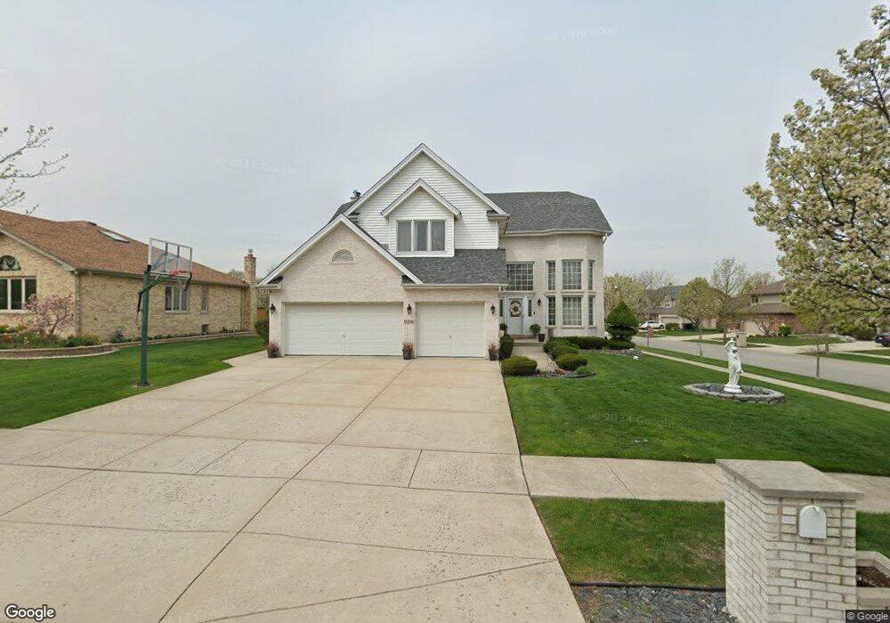
14206 Oldham Rd Unit 2 Orland Park, IL 60467
Orland Grove NeighborhoodEstimated Value: $573,000 - $635,000
4
Beds
3
Baths
3,034
Sq Ft
$198/Sq Ft
Est. Value
About This Home
This home is located at 14206 Oldham Rd Unit 2, Orland Park, IL 60467 and is currently estimated at $600,886, approximately $198 per square foot. 14206 Oldham Rd Unit 2 is a home located in Cook County with nearby schools including Orland Park Elementary School, High Point Elementary School, and Orland Jr High School.
Ownership History
Date
Name
Owned For
Owner Type
Purchase Details
Closed on
Aug 13, 2002
Sold by
Standard Bank & Trust Company
Bought by
Lasalle Bank National Assn and Trust #129870
Current Estimated Value
Home Financials for this Owner
Home Financials are based on the most recent Mortgage that was taken out on this home.
Original Mortgage
$130,000
Interest Rate
6.56%
Create a Home Valuation Report for This Property
The Home Valuation Report is an in-depth analysis detailing your home's value as well as a comparison with similar homes in the area
Home Values in the Area
Average Home Value in this Area
Purchase History
| Date | Buyer | Sale Price | Title Company |
|---|---|---|---|
| Lasalle Bank National Assn | $349,500 | -- |
Source: Public Records
Mortgage History
| Date | Status | Borrower | Loan Amount |
|---|---|---|---|
| Closed | Lasalle Bank National Assn | $130,000 |
Source: Public Records
Tax History Compared to Growth
Tax History
| Year | Tax Paid | Tax Assessment Tax Assessment Total Assessment is a certain percentage of the fair market value that is determined by local assessors to be the total taxable value of land and additions on the property. | Land | Improvement |
|---|---|---|---|---|
| 2024 | $11,380 | $48,787 | $6,341 | $42,446 |
| 2023 | $9,663 | $55,589 | $6,341 | $49,248 |
| 2022 | $9,663 | $35,677 | $5,580 | $30,097 |
| 2021 | $9,358 | $35,676 | $5,579 | $30,097 |
| 2020 | $9,071 | $35,676 | $5,579 | $30,097 |
| 2019 | $9,303 | $37,323 | $5,072 | $32,251 |
| 2018 | $9,047 | $37,323 | $5,072 | $32,251 |
| 2017 | $9,375 | $39,307 | $5,072 | $34,235 |
| 2016 | $9,995 | $38,318 | $4,565 | $33,753 |
| 2015 | $9,864 | $38,318 | $4,565 | $33,753 |
| 2014 | $9,733 | $38,318 | $4,565 | $33,753 |
| 2013 | $8,807 | $36,991 | $4,565 | $32,426 |
Source: Public Records
Map
Nearby Homes
- 11501 W 143rd St
- 11725 Cooper Way
- 13951 Green Valley Dr
- 11851 Windemere Ct Unit 201
- 11637 Brookview Ln
- 11901 Somerset Rd Unit 2
- 14328 Pinewood Dr
- 11901 Windemere Ct Unit 301
- 14467 Creekview Dr
- 13910 Green Valley Dr
- 11701 Waters Edge Trail
- 11330 Brigitte Terrace
- 11257 Melrose Ct
- 14405 Creekwood Dr
- 11811 Old Spanish Trail
- 11708 139th St
- 13812 Mccabe Dr
- 14031 Norwich Ln Unit 301
- 13766 Mccabe Dr
- 11132 Alexis Ln
- 11617 Burnley Dr
- 14224 Oldham Rd
- 11606 Burnley Dr
- 11618 Blackburn Dr
- 11612 Burnley Dr
- 11623 Burnley Dr
- 14207 Oldham Rd
- 14137 Oldham Rd
- 14217 Oldham Rd
- 11618 Burnley Dr
- 14227 Oldham Rd
- 14131 Oldham Rd
- 11620 Blackburn Dr
- 11629 Burnley Dr
- 11622 Burnley Dr
- 11617 Creekside Dr
- 11623 Creekside Dr
- 14125 Oldham Rd
- 11628 Burnley Dr