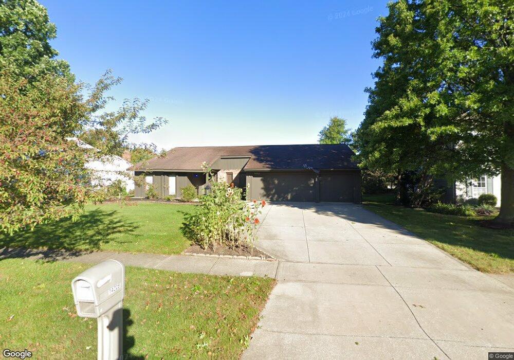
14208 E Bend Dr Strongsville, OH 44136
Estimated Value: $337,000 - $386,000
3
Beds
2
Baths
2,226
Sq Ft
$160/Sq Ft
Est. Value
About This Home
This home is located at 14208 E Bend Dr, Strongsville, OH 44136 and is currently estimated at $356,448, approximately $160 per square foot. 14208 E Bend Dr is a home located in Cuyahoga County with nearby schools including Strongsville High School, Royal Redeemer Lutheran School, and Sts Joseph & John Interparochial School.
Ownership History
Date
Name
Owned For
Owner Type
Purchase Details
Closed on
Jun 26, 1989
Sold by
Necak Petar
Bought by
Necak Petar
Current Estimated Value
Purchase Details
Closed on
Jul 5, 1984
Sold by
Morgan Ralph F
Bought by
Necak Petar
Purchase Details
Closed on
Apr 10, 1980
Bought by
Morgan Ralph F
Purchase Details
Closed on
Nov 7, 1979
Bought by
Hunting Valley Bldrs Inc
Purchase Details
Closed on
Jan 1, 1979
Bought by
North East Land Co
Create a Home Valuation Report for This Property
The Home Valuation Report is an in-depth analysis detailing your home's value as well as a comparison with similar homes in the area
Home Values in the Area
Average Home Value in this Area
Purchase History
| Date | Buyer | Sale Price | Title Company |
|---|---|---|---|
| Necak Petar | -- | -- | |
| Necak Petar | $94,500 | -- | |
| Morgan Ralph F | $92,000 | -- | |
| Hunting Valley Bldrs Inc | -- | -- | |
| North East Land Co | -- | -- |
Source: Public Records
Tax History
| Year | Tax Paid | Tax Assessment Tax Assessment Total Assessment is a certain percentage of the fair market value that is determined by local assessors to be the total taxable value of land and additions on the property. | Land | Improvement |
|---|---|---|---|---|
| 2025 | $4,695 | $99,995 | $21,105 | $78,890 |
| 2024 | $4,695 | $99,995 | $21,105 | $78,890 |
| 2023 | $5,032 | $80,370 | $20,760 | $59,610 |
| 2022 | $4,996 | $80,360 | $20,755 | $59,605 |
| 2021 | $4,956 | $80,360 | $20,760 | $59,610 |
| 2020 | $4,592 | $65,870 | $17,010 | $48,860 |
| 2019 | $4,457 | $188,200 | $48,600 | $139,600 |
| 2018 | $4,036 | $65,870 | $17,010 | $48,860 |
| 2017 | $4,101 | $61,820 | $13,620 | $48,200 |
| 2016 | $4,068 | $61,820 | $13,620 | $48,200 |
| 2015 | $4,125 | $61,820 | $13,620 | $48,200 |
| 2014 | $4,125 | $61,820 | $13,620 | $48,200 |
Source: Public Records
Map
Nearby Homes
- 14686 Drake Rd
- 13576 Fairwinds Dr
- 13455 Tradewinds Dr
- 14401 Trenton Ave
- 19595 Cross Trail N
- 15446 Drake Rd
- 17382 W 130th St
- 14766 Boston Rd
- 17163 Golden Star Dr
- 16244 Delmont Ave
- 16524 Timberline Dr
- 2901 Joseph Pkwy
- 88 N Carpenter Rd
- 16506 Sunwood Oval
- 2648 Warner Rd
- 19044 Quail Hollow Dr
- 229 W 130th St
- 11974 Boston Rd
- 3125 Portsmouth Dr
- 17769 Bennett Rd
- 14284 E Bend Dr
- 14170 E Bend Dr
- 14322 E Bend Dr
- 14132 E Bend Dr
- 14169 E Bend Dr
- 14133 E Bend Dr
- 14207 E Bend Dr
- 14094 E Bend Dr
- 18465 W Bend Dr
- 14093 E Bend Dr
- 14160 Bent Tree Ct
- 14283 E Bend Dr
- 14332 Bent Tree Ct
- 14402 Bent Tree Ct
- 14314 Bent Tree Ct
- 14358 Bent Tree Ct
- 14424 Bent Tree Ct
- 14380 Bent Tree Ct
- 14321 East-Bend Dr
- 14321 E Bend Dr
Your Personal Tour Guide
Ask me questions while you tour the home.