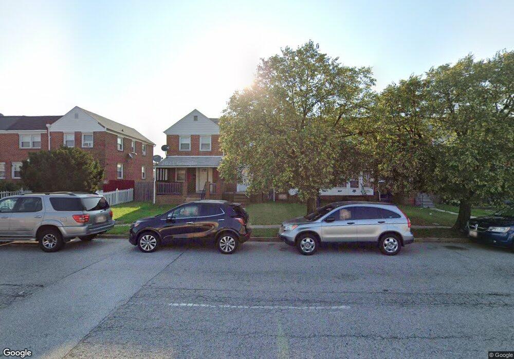
1421 Broening Hwy Baltimore, MD 21224
O'Donnell Heights NeighborhoodEstimated Value: $142,759 - $160,000
2
Beds
1
Bath
840
Sq Ft
$180/Sq Ft
Est. Value
About This Home
This home is located at 1421 Broening Hwy, Baltimore, MD 21224 and is currently estimated at $151,380, approximately $180 per square foot. 1421 Broening Hwy is a home located in Baltimore City with nearby schools including Holabird Elementary School, Booker T. Washington Middle School, and Patterson High School.
Ownership History
Date
Name
Owned For
Owner Type
Purchase Details
Closed on
Mar 7, 2008
Sold by
Santos Pamela A
Bought by
Santos Pamela A
Current Estimated Value
Purchase Details
Closed on
Mar 8, 2007
Sold by
Santos Pamela A
Bought by
Santos Pamela A and Santos David N
Home Financials for this Owner
Home Financials are based on the most recent Mortgage that was taken out on this home.
Original Mortgage
$72,000
Interest Rate
6.3%
Mortgage Type
New Conventional
Create a Home Valuation Report for This Property
The Home Valuation Report is an in-depth analysis detailing your home's value as well as a comparison with similar homes in the area
Home Values in the Area
Average Home Value in this Area
Purchase History
| Date | Buyer | Sale Price | Title Company |
|---|---|---|---|
| Santos Pamela A | -- | -- | |
| Santos Pamela A | $36,000 | -- |
Source: Public Records
Mortgage History
| Date | Status | Borrower | Loan Amount |
|---|---|---|---|
| Previous Owner | Santos Pamela A | $72,000 |
Source: Public Records
Tax History Compared to Growth
Tax History
| Year | Tax Paid | Tax Assessment Tax Assessment Total Assessment is a certain percentage of the fair market value that is determined by local assessors to be the total taxable value of land and additions on the property. | Land | Improvement |
|---|---|---|---|---|
| 2025 | $2,198 | $99,400 | $15,000 | $84,400 |
| 2024 | $2,198 | $93,600 | $0 | $0 |
| 2023 | $2,062 | $87,800 | $0 | $0 |
| 2022 | $1,935 | $82,000 | $15,000 | $67,000 |
| 2021 | $1,847 | $78,267 | $0 | $0 |
| 2020 | $1,759 | $74,533 | $0 | $0 |
| 2019 | $1,663 | $70,800 | $15,000 | $55,800 |
| 2018 | $1,671 | $70,800 | $15,000 | $55,800 |
| 2017 | $1,671 | $70,800 | $0 | $0 |
| 2016 | $1,831 | $79,200 | $0 | $0 |
| 2015 | $1,831 | $67,333 | $0 | $0 |
| 2014 | $1,831 | $55,467 | $0 | $0 |
Source: Public Records
Map
Nearby Homes
- 6109 Bessemer Ave
- 1600 Charlotte Ave
- 6302 Brown Ave
- 6321 Brown Ave
- 6424 Bushey St
- 6628 Hartwait St
- 6705 Gary Ave
- 6707 1/2 Gary Ave
- 6714 Boston Ave
- 6609 Bushey St
- 6728 Boston Ave
- 5905 O Donnell St
- 6620 Bushey St
- 6700 Hudson St
- 724 Umbra St
- 705 Tolna St
- 6740 Brentwood Ave
- 6816 Boston Ave
- 714 Rappolla St
- 6817 Duluth Ave
- 1423 Broening Hwy
- 1419 Broening Hwy
- 1425 Broening Hwy
- 1427 Broening Hwy
- 1417 Broening Hwy
- 1429 Broening Hwy
- 1415 Broening Hwy
- 1431 Broening Hwy
- 1413 Broening Hwy
- 1433 Broening Hwy
- 1411 Broening Hwy
- 1409 Broening Hwy
- 1435 Broening Hwy
- 1407 Broening Hwy
- 1405 Broening Hwy
- 1437 Broening Hwy
- 1403 Broening Hwy
- 1439 Broening Hwy
- 1441 Broening Hwy
- 1401 Broening Hwy