1421 McCranie Rd Sparks, GA 31647
Estimated Value: $127,000 - $176,185
--
Bed
1
Bath
1,260
Sq Ft
$111/Sq Ft
Est. Value
About This Home
This home is located at 1421 McCranie Rd, Sparks, GA 31647 and is currently estimated at $140,296, approximately $111 per square foot. 1421 McCranie Rd is a home with nearby schools including Cook Primary School, Cook Elementary School, and Cook County Middle School.
Ownership History
Date
Name
Owned For
Owner Type
Purchase Details
Closed on
Nov 21, 2019
Sold by
Cook County Land Ventures Llc
Bought by
Harris Jennifer
Current Estimated Value
Purchase Details
Closed on
Aug 1, 2018
Sold by
Cook County Land Ventures Llc
Bought by
Tucker Candice
Purchase Details
Closed on
Feb 4, 2016
Sold by
Cook County Land Ventures
Bought by
Craft Christopher and Craft Kayla
Purchase Details
Closed on
Jul 22, 2010
Sold by
Cook County Land Ventures Llc
Bought by
Dillard Gregory Stuart
Purchase Details
Closed on
Sep 2, 2009
Sold by
Cook County Land Ventures Llc
Bought by
Roegge Charles B and Roegge Joyce S
Purchase Details
Closed on
Jan 27, 2005
Sold by
Connell Russell
Bought by
Cook County Land Ventures Llc
Create a Home Valuation Report for This Property
The Home Valuation Report is an in-depth analysis detailing your home's value as well as a comparison with similar homes in the area
Home Values in the Area
Average Home Value in this Area
Purchase History
| Date | Buyer | Sale Price | Title Company |
|---|---|---|---|
| Harris Jennifer | $20,000 | -- | |
| Tucker Candice | $50,000 | -- | |
| Craft Christopher | $25,000 | -- | |
| Dillard Gregory Stuart | $8,000 | -- | |
| Roegge Charles B | $20,000 | -- | |
| Cook County Land Ventures Llc | $173,175 | -- |
Source: Public Records
Tax History Compared to Growth
Tax History
| Year | Tax Paid | Tax Assessment Tax Assessment Total Assessment is a certain percentage of the fair market value that is determined by local assessors to be the total taxable value of land and additions on the property. | Land | Improvement |
|---|---|---|---|---|
| 2024 | $1,096 | $40,684 | $38,001 | $2,683 |
| 2023 | $1,089 | $40,435 | $38,001 | $2,434 |
| 2022 | $980 | $36,364 | $33,930 | $2,434 |
| 2021 | $1,042 | $36,084 | $33,930 | $2,154 |
| 2020 | $1,042 | $36,084 | $33,930 | $2,154 |
| 2019 | $1,172 | $40,564 | $38,410 | $2,154 |
| 2018 | $1,497 | $51,764 | $49,610 | $2,154 |
| 2017 | $1,497 | $51,764 | $49,610 | $2,154 |
| 2016 | $1,662 | $57,364 | $55,210 | $2,154 |
| 2015 | -- | $57,363 | $55,210 | $2,154 |
| 2014 | -- | $59,835 | $55,210 | $4,626 |
| 2013 | -- | $0 | $0 | $0 |
Source: Public Records
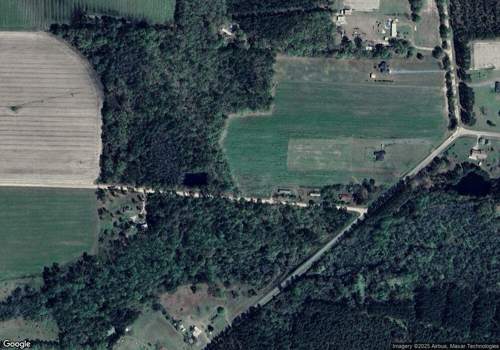
Map
Nearby Homes
- 284 Barrett Rd
- 137 Hood Dr
- 105 Orchard Cir
- 2603 Dianne St
- 2503 Dianne St
- 2302 Thomas St
- 0 Barneyville Rd
- 1377 Hutchinson Parrish Rd
- 103 N College St
- 1402 Bear Creek Rd
- 1306 Bear Creek Rd
- 1296 Boone Rd
- 625 Coxstill Rd
- 701 Gloria St
- 315 Newton Dr
- 901 E 4th St
- 418 E 3rd St
- 304 E 3rd St
- 134 Brandy Ct
- 93 Oak Forrest Dr
- 24 Hilliard Rd
- 2409 Lovett Cir
- 2303 Lovett Cir
- 2429 Lovett Cir
- 1915 Lovett Cir
- 2388 Lovett Cir
- 456 E Lovett St
- 113 Hilliard Rd
- 1194 McCranie Rd
- 1835 Lovett Cir
- 2505 Lovett Cir
- 0 Lovett Cir
- 321 Smith Ln
- 118 Smith Ln
- 2717 Lovett Cir
- 374 Hilliard Rd
- 0 Lovett Cir
- 2803 Lovett Cir
- 891 McCranie Rd
- 2803 Lovett Cir