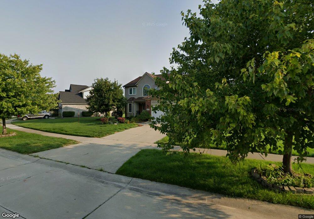
1421 Milbrook Rd Canton, MI 48188
Estimated Value: $504,176 - $573,000
--
Bed
3
Baths
2,638
Sq Ft
$204/Sq Ft
Est. Value
About This Home
This home is located at 1421 Milbrook Rd, Canton, MI 48188 and is currently estimated at $537,044, approximately $203 per square foot. 1421 Milbrook Rd is a home located in Wayne County with nearby schools including Canton High School, Salem High School, and Plymouth High School.
Ownership History
Date
Name
Owned For
Owner Type
Purchase Details
Closed on
Jun 28, 2002
Sold by
Henry Larry
Bought by
Davuluri Ramaseetha Y
Current Estimated Value
Home Financials for this Owner
Home Financials are based on the most recent Mortgage that was taken out on this home.
Original Mortgage
$226,000
Interest Rate
6.32%
Mortgage Type
Purchase Money Mortgage
Purchase Details
Closed on
Apr 3, 1998
Sold by
Marjorie Multi Building
Bought by
Markiewicz Lopiccolo Hones Inc
Create a Home Valuation Report for This Property
The Home Valuation Report is an in-depth analysis detailing your home's value as well as a comparison with similar homes in the area
Home Values in the Area
Average Home Value in this Area
Purchase History
| Date | Buyer | Sale Price | Title Company |
|---|---|---|---|
| Davuluri Ramaseetha Y | $282,500 | -- | |
| Markiewicz Lopiccolo Hones Inc | -- | -- |
Source: Public Records
Mortgage History
| Date | Status | Borrower | Loan Amount |
|---|---|---|---|
| Previous Owner | Davuluri Ramaseetha Y | $226,000 |
Source: Public Records
Tax History Compared to Growth
Tax History
| Year | Tax Paid | Tax Assessment Tax Assessment Total Assessment is a certain percentage of the fair market value that is determined by local assessors to be the total taxable value of land and additions on the property. | Land | Improvement |
|---|---|---|---|---|
| 2025 | $2,870 | $251,600 | $0 | $0 |
| 2024 | $2,870 | $215,300 | $0 | $0 |
| 2023 | $2,736 | $202,400 | $0 | $0 |
| 2022 | $5,940 | $191,400 | $0 | $0 |
| 2021 | $5,764 | $171,000 | $0 | $0 |
| 2020 | $5,693 | $163,500 | $0 | $0 |
| 2019 | $5,591 | $159,830 | $0 | $0 |
| 2018 | $2,325 | $157,650 | $0 | $0 |
| 2017 | $5,654 | $158,400 | $0 | $0 |
| 2016 | $5,078 | $167,500 | $0 | $0 |
| 2015 | $12,777 | $153,390 | $0 | $0 |
| 2013 | $12,378 | $129,010 | $0 | $0 |
| 2010 | -- | $136,750 | $67,351 | $69,399 |
Source: Public Records
Map
Nearby Homes
- 39605 Dorchester Cir
- 632 Georgetown St
- 1913 Pebble Creek Dr
- 39250 Northampton St
- 39260 Phlox Ln Unit 12
- 40488 Glen Eagle Ln Unit 75
- 1803 Pinecroft Dr Unit 171
- 1786 Daisy Ln
- 39615 Kirkland Dr
- 2065 Pinecroft Dr Unit 201
- 2322 Arcadia Dr Unit 254
- 39214 Dillingham St
- 2098 Preserve Cir W Unit 80
- 2448 Arcadia Dr
- 41109 Southwind Dr
- 2297 Hannan Rd
- 00000 Avondale St
- 41140 Northwind Dr
- 151 Dawson Ct
- 170 Cherry Hill Pointe Dr
- 1387 Milbrook Rd
- 1454 Aziz Dr
- 1422 Aziz Dr
- 1325 Milbrook Rd
- 1390 Aziz Dr
- 1325 Millbrook Rd
- 1358 Aziz Dr
- 1468 Milbrook Rd
- 1436 Milbrook Rd
- 1404 Milbrook Rd
- 1500 Millbrook Rd
- 1372 Milbrook Rd
- 1500 Milbrook Rd
- 1259 Milbrook Rd
- 1326 Aziz Dr
- 1340 Millbrook Rd
- 1340 Milbrook Rd
- 1532 Millbrook Rd
- 1532 Milbrook Rd
- 1294 Aziz Dr