1421 Muskrat Creek Rd Hayesville, NC 28904
Estimated Value: $54,738 - $552,000
--
Bed
--
Bath
672
Sq Ft
$451/Sq Ft
Est. Value
About This Home
This home is located at 1421 Muskrat Creek Rd, Hayesville, NC 28904 and is currently estimated at $303,369, approximately $451 per square foot. 1421 Muskrat Creek Rd is a home with nearby schools including Hayesville Elementary School, Hayesville Middle School, and Hayesville High School.
Ownership History
Date
Name
Owned For
Owner Type
Purchase Details
Closed on
Jul 9, 2020
Sold by
Spivey Tammy and Spivey James
Bought by
Gibson Douglas
Current Estimated Value
Purchase Details
Closed on
Feb 26, 2008
Sold by
Tanner Willette S and Tanner Weldon
Bought by
Spivey James L and Spivey Tammy
Home Financials for this Owner
Home Financials are based on the most recent Mortgage that was taken out on this home.
Original Mortgage
$29,800
Interest Rate
5.63%
Mortgage Type
Future Advance Clause Open End Mortgage
Create a Home Valuation Report for This Property
The Home Valuation Report is an in-depth analysis detailing your home's value as well as a comparison with similar homes in the area
Home Values in the Area
Average Home Value in this Area
Purchase History
| Date | Buyer | Sale Price | Title Company |
|---|---|---|---|
| Gibson Douglas | -- | None Available | |
| Spivey James L | $28,000 | -- |
Source: Public Records
Mortgage History
| Date | Status | Borrower | Loan Amount |
|---|---|---|---|
| Previous Owner | Spivey James L | $29,800 |
Source: Public Records
Tax History Compared to Growth
Tax History
| Year | Tax Paid | Tax Assessment Tax Assessment Total Assessment is a certain percentage of the fair market value that is determined by local assessors to be the total taxable value of land and additions on the property. | Land | Improvement |
|---|---|---|---|---|
| 2024 | $294 | $41,300 | $32,700 | $8,600 |
| 2023 | $194 | $41,300 | $32,700 | $8,600 |
| 2022 | $194 | $41,300 | $32,700 | $8,600 |
| 2021 | $194 | $41,300 | $32,700 | $8,600 |
| 2020 | $216 | $41,300 | $32,700 | $8,600 |
| 2019 | $194 | $41,300 | $32,700 | $8,600 |
| 2018 | $194 | $41,300 | $32,700 | $8,600 |
| 2016 | -- | $57,430 | $49,516 | $7,914 |
| 2015 | -- | $57,430 | $49,516 | $7,914 |
| 2014 | -- | $57,430 | $49,516 | $7,914 |
Source: Public Records
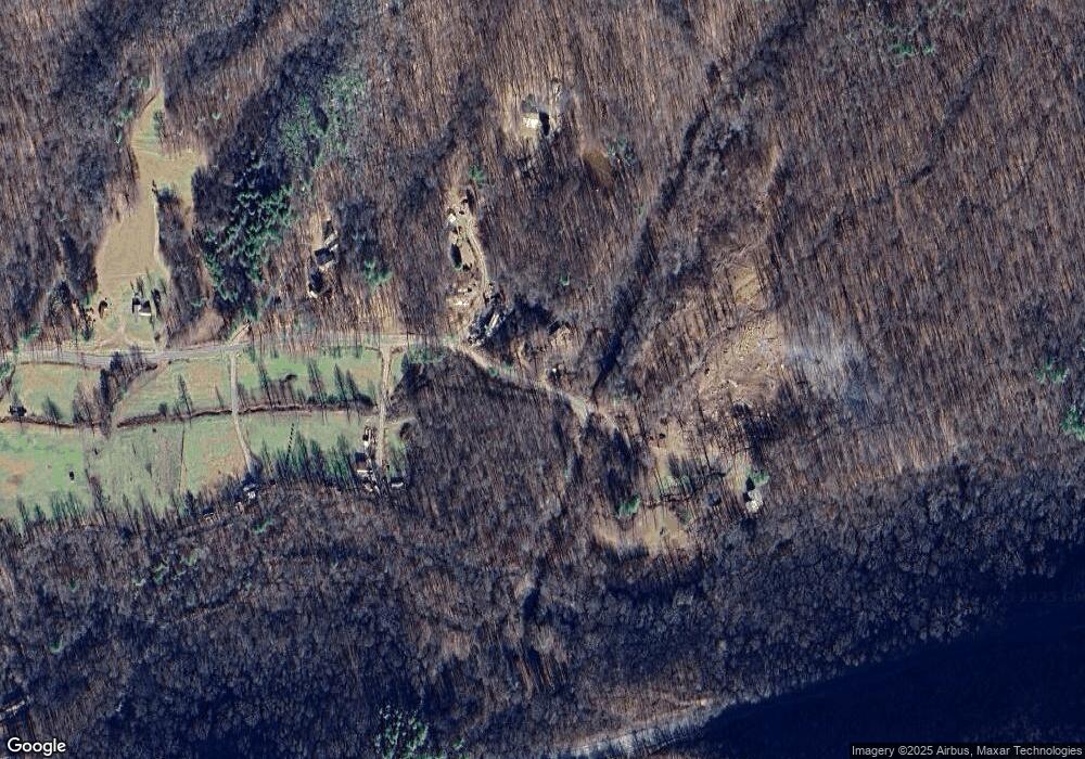
Map
Nearby Homes
- 1064 Muskrat Creek Rd
- 0 Burnt Leaf Ln Unit 419226
- 0 Burnt Leaf Ln Unit 10616183
- Lot 19 Burnt Leaf Ln
- 00 Burnt Leaf Ln
- Lot 9 Noel Ridge
- 1 Lories Mountain Dr
- 183 Red Bird Dr
- Lots 8,9 Shadow Woods Trail
- LOT 7 Mill Creek Estates
- LOT 31 Skyview Dr
- Lot 11 Skyview Dr
- Lot 5 Skyview Dr
- Lot 30 Skyview Dr
- Lot 28 Skyview Dr
- Lot 27 Skyview Dr
- Lot 1 Skyview Dr
- 0 Muskrat Terrace
- 83 Muskrat Terrace
- 1449 Muskrat Creek Rd
- 155 Muskrat Terrace
- 1245 Muskrat Creek Rd
- 0 Muskrat Road Tract 5
- 0
- 11965 Hwy 64 E
- 11745 Hwy 64e
- 1145 Muskrat Creek Rd
- 9.21 Acres Hwy 64 E
- 00 Us 64 E
- LOT2 Hwy 64 E
- 116 Brown Dr
- 1062 Muskrat Creek Rd
- TRT 2 Hwy 64 E
- 11745 U S 64
- 276 Cove View Ridge
- 276 Cove View Ridge Unit NC
- 73 Brown Dr