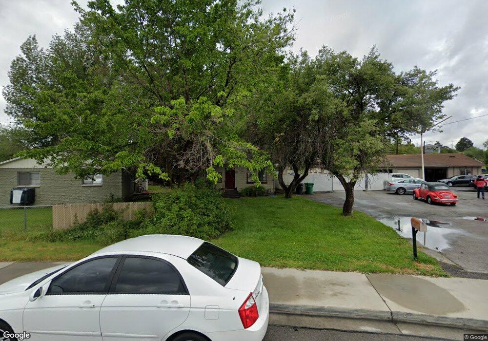
1421 N 800 W Provo, UT 84604
Rivergrove NeighborhoodEstimated Value: $282,000 - $347,000
1
Bed
1
Bath
648
Sq Ft
$470/Sq Ft
Est. Value
About This Home
This home is located at 1421 N 800 W, Provo, UT 84604 and is currently estimated at $304,818, approximately $470 per square foot. 1421 N 800 W is a home located in Utah County with nearby schools including Westridge Elementary School, Dixon Middle School, and Provo High School.
Ownership History
Date
Name
Owned For
Owner Type
Purchase Details
Closed on
Apr 29, 2025
Sold by
Glenn Patricia
Bought by
Patricia Glenn Investment Trust and Glenn
Current Estimated Value
Purchase Details
Closed on
Oct 1, 2007
Sold by
Provo City Corp
Bought by
Glenn Steven L and Glenn Patricia
Purchase Details
Closed on
Jan 27, 1997
Sold by
Davis Heber Lee and Davis Joann W
Bought by
Glenn Steven L and Glenn Patricia
Home Financials for this Owner
Home Financials are based on the most recent Mortgage that was taken out on this home.
Original Mortgage
$46,250
Interest Rate
7.67%
Purchase Details
Closed on
Dec 13, 1996
Sold by
Heber Lee Davis Family Ltd Partnership
Bought by
Glenn Steven L and Glenn Patricia
Home Financials for this Owner
Home Financials are based on the most recent Mortgage that was taken out on this home.
Original Mortgage
$46,250
Interest Rate
7.67%
Create a Home Valuation Report for This Property
The Home Valuation Report is an in-depth analysis detailing your home's value as well as a comparison with similar homes in the area
Home Values in the Area
Average Home Value in this Area
Purchase History
| Date | Buyer | Sale Price | Title Company |
|---|---|---|---|
| Patricia Glenn Investment Trust | -- | None Listed On Document | |
| Glenn Steven L | -- | None Available | |
| Glenn Steven L | -- | -- | |
| Glenn Steven L | -- | -- |
Source: Public Records
Mortgage History
| Date | Status | Borrower | Loan Amount |
|---|---|---|---|
| Previous Owner | Glenn Steven L | $46,250 |
Source: Public Records
Tax History Compared to Growth
Tax History
| Year | Tax Paid | Tax Assessment Tax Assessment Total Assessment is a certain percentage of the fair market value that is determined by local assessors to be the total taxable value of land and additions on the property. | Land | Improvement |
|---|---|---|---|---|
| 2025 | $1,406 | $152,790 | $149,400 | $128,400 |
| 2024 | $1,406 | $138,380 | $0 | $0 |
| 2023 | $1,449 | $140,635 | $0 | $0 |
| 2022 | $1,604 | $156,915 | $0 | $0 |
| 2021 | $1,182 | $201,700 | $94,800 | $106,900 |
| 2020 | $1,146 | $183,400 | $86,200 | $97,200 |
| 2019 | $1,026 | $170,700 | $86,200 | $84,500 |
| 2018 | $908 | $153,300 | $79,800 | $73,500 |
| 2017 | $814 | $75,515 | $0 | $0 |
| 2016 | $745 | $64,350 | $0 | $0 |
| 2015 | $673 | $58,795 | $0 | $0 |
| 2014 | $626 | $57,035 | $0 | $0 |
Source: Public Records
Map
Nearby Homes
- 1500 Jordan Ave
- 1254 N 800 W
- 920 W Columbia Ln
- 1633 Woodland Dr
- 1661 Willowbrook Dr
- 1685 Hickory Ln
- 1250 Jordan Ave
- 1559 N Riverside Ave Unit 4
- 1149 N 850 W
- 1763 Willowbrook Dr Unit 4D1
- 1188 W 1380 N
- 952 N 1000 W Unit 2
- 1104 N 1220 W
- 1939 N 700 W
- 1009 W 2000 N
- 1471 W 1460 N
- 828 N 600 W
- 810 N 600 W
- 556 W 800 N Unit 18
- 1574 W 1400 N
- 1429 800 W
- 814 W 1400 N
- 836 W 1400 N
- 821 Columbia Ln
- 825 Columbia Ln
- 850 W 1400 N
- 807 W 1400 N
- 821 W 1400 N
- 837 W 1400 N
- 868 W 1400 N
- 851 W 1400 N
- 1370 N 800 W
- 884 W 1400 N
- 820 Columbia Ln
- 869 W 1400 N
- 822 W 1340 N
- 865 Columbia Ln Unit 11
- 865 Columbia Ln Unit 10
- 865 Columbia Ln Unit 9
- 865 Columbia Ln Unit 8