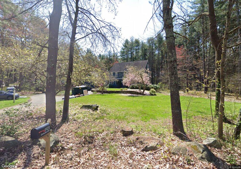
1421 Old Marlboro Rd Concord, MA 01742
Estimated Value: $1,663,130 - $1,815,000
4
Beds
4
Baths
3,271
Sq Ft
$530/Sq Ft
Est. Value
About This Home
This home is located at 1421 Old Marlboro Rd, Concord, MA 01742 and is currently estimated at $1,734,783, approximately $530 per square foot. 1421 Old Marlboro Rd is a home located in Middlesex County with nearby schools including Willard School, Concord Middle School, and Willow Hill School.
Ownership History
Date
Name
Owned For
Owner Type
Purchase Details
Closed on
Aug 1, 2000
Sold by
Anderson Carlyn D
Bought by
Levinger James K and Levinger Leah A
Current Estimated Value
Home Financials for this Owner
Home Financials are based on the most recent Mortgage that was taken out on this home.
Original Mortgage
$390,000
Interest Rate
8.18%
Mortgage Type
Purchase Money Mortgage
Purchase Details
Closed on
Mar 18, 1996
Sold by
Cipriani Lita
Bought by
Cooney George and Anderson Carlyn D
Home Financials for this Owner
Home Financials are based on the most recent Mortgage that was taken out on this home.
Original Mortgage
$400,000
Interest Rate
6.97%
Mortgage Type
Purchase Money Mortgage
Create a Home Valuation Report for This Property
The Home Valuation Report is an in-depth analysis detailing your home's value as well as a comparison with similar homes in the area
Home Values in the Area
Average Home Value in this Area
Purchase History
| Date | Buyer | Sale Price | Title Company |
|---|---|---|---|
| Levinger James K | $845,000 | -- | |
| Cooney George | $578,500 | -- |
Source: Public Records
Mortgage History
| Date | Status | Borrower | Loan Amount |
|---|---|---|---|
| Open | Cooney George | $275,000 | |
| Closed | Cooney George | $275,000 | |
| Closed | Cooney George | $390,000 | |
| Previous Owner | Cooney George | $400,000 |
Source: Public Records
Tax History Compared to Growth
Tax History
| Year | Tax Paid | Tax Assessment Tax Assessment Total Assessment is a certain percentage of the fair market value that is determined by local assessors to be the total taxable value of land and additions on the property. | Land | Improvement |
|---|---|---|---|---|
| 2025 | $211 | $1,594,400 | $680,300 | $914,100 |
| 2024 | $20,934 | $1,594,400 | $680,300 | $914,100 |
| 2023 | $19,570 | $1,510,000 | $639,700 | $870,300 |
| 2022 | $17,058 | $1,155,700 | $511,500 | $644,200 |
| 2021 | $15,421 | $1,047,600 | $437,700 | $609,900 |
| 2020 | $15,024 | $1,055,800 | $437,700 | $618,100 |
| 2019 | $14,132 | $995,900 | $424,700 | $571,200 |
| 2018 | $14,130 | $988,800 | $425,400 | $563,400 |
| 2017 | $13,721 | $975,200 | $405,300 | $569,900 |
| 2016 | $13,504 | $970,100 | $405,300 | $564,800 |
| 2015 | $12,755 | $892,600 | $375,500 | $517,100 |
Source: Public Records
Map
Nearby Homes
- 16 Blacksmith Dr
- 42 Dakin Rd
- 369 Border Rd
- 67 Powder Mill Rd
- 29 Black Birch Ln Unit 29
- 9 Black Birch Ln Unit 9
- 40 Rookery Ln Unit 5
- 72 Rookery Ln Unit 3
- 96 Forest Ridge Rd Unit 96
- 57 Longfellow Rd
- 401 Emery Ln Unit 104
- 24 Rookery Ln Unit 6
- 56 Rookery Ln Unit 4
- 589 North Rd
- 80 N Branch Rd
- 1844 Main St Unit 1844
- 5 Oak Ridge Dr Unit 7
- 394 Plainfield Rd Unit 394
- 10 Oak Ridge Dr Unit 5
- 27 Water St
- 1445 Old Marlboro Rd
- 1401 Old Marlboro Rd
- 23 Hunters Ridge Rd
- 1385 Old Marlboro Rd
- 188 Powers Rd
- 2759 Old Marlboro Rd
- 45 Hunters Ridge Rd
- 11 Hunters Ridge Rd
- 9 Hunters Ridge Rd
- 59 Hunters Ridge Rd
- 16 Hunters Ridge Rd
- 182 Powers Rd
- 1377 Old Marlboro Rd
- 300 Old Pickard Rd
- 310 Old Pickard Rd
- 24 Barnet Rd
- 256 Old Pickard Rd
- 30 Barnet Rd
- 151 Dakin Rd
- 1357 Old Marlboro Rd