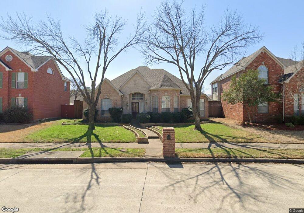
1421 Palo Duro Dr Carrollton, TX 75007
Northwest Carrollton NeighborhoodEstimated Value: $463,544 - $510,000
3
Beds
2
Baths
2,196
Sq Ft
$221/Sq Ft
Est. Value
About This Home
This home is located at 1421 Palo Duro Dr, Carrollton, TX 75007 and is currently estimated at $485,636, approximately $221 per square foot. 1421 Palo Duro Dr is a home located in Denton County with nearby schools including Kent Elementary School, Blalack Middle School, and Creekview High School.
Ownership History
Date
Name
Owned For
Owner Type
Purchase Details
Closed on
Aug 2, 2010
Sold by
Yowell Edwin D and Yowell Renea S
Bought by
Fox Cynthia L
Current Estimated Value
Home Financials for this Owner
Home Financials are based on the most recent Mortgage that was taken out on this home.
Original Mortgage
$193,500
Outstanding Balance
$129,338
Interest Rate
4.76%
Mortgage Type
New Conventional
Estimated Equity
$356,298
Purchase Details
Closed on
Feb 28, 1995
Sold by
The Drees Company
Bought by
Yowell Edwin D and Yowell Renea S
Home Financials for this Owner
Home Financials are based on the most recent Mortgage that was taken out on this home.
Original Mortgage
$151,800
Interest Rate
9%
Create a Home Valuation Report for This Property
The Home Valuation Report is an in-depth analysis detailing your home's value as well as a comparison with similar homes in the area
Home Values in the Area
Average Home Value in this Area
Purchase History
| Date | Buyer | Sale Price | Title Company |
|---|---|---|---|
| Fox Cynthia L | -- | Rtt | |
| Yowell Edwin D | -- | -- |
Source: Public Records
Mortgage History
| Date | Status | Borrower | Loan Amount |
|---|---|---|---|
| Open | Fox Cynthia L | $193,500 | |
| Previous Owner | Yowell Edwin D | $151,800 |
Source: Public Records
Tax History Compared to Growth
Tax History
| Year | Tax Paid | Tax Assessment Tax Assessment Total Assessment is a certain percentage of the fair market value that is determined by local assessors to be the total taxable value of land and additions on the property. | Land | Improvement |
|---|---|---|---|---|
| 2025 | $5,419 | $446,306 | $120,544 | $358,529 |
| 2024 | $6,939 | $405,733 | $0 | $0 |
| 2023 | $4,850 | $368,848 | $105,476 | $369,714 |
| 2022 | $6,448 | $335,316 | $105,476 | $281,005 |
| 2021 | $6,301 | $304,833 | $67,806 | $237,027 |
| 2020 | $5,983 | $287,129 | $67,806 | $219,323 |
| 2019 | $6,157 | $281,070 | $67,806 | $213,264 |
| 2018 | $6,399 | $288,428 | $67,806 | $221,671 |
| 2017 | $5,883 | $262,207 | $67,806 | $194,401 |
| 2016 | $5,157 | $244,987 | $63,286 | $181,701 |
| 2015 | $4,241 | $231,352 | $63,286 | $168,066 |
| 2013 | -- | $203,509 | $63,286 | $140,223 |
Source: Public Records
Map
Nearby Homes
- 1429 Indian Springs
- 1529 Arrowhead Ln
- 3309 Susan Ln
- 3110 Glenmere Ct
- 1203 Sycamore Dr
- 1464 Summerhill Dr
- 1211 Mackie Dr
- 1113 Derbyshire Ln
- 3528 Eisenhower St
- 3102 Aspen
- 1036 Clinton St
- 3103 Birch Dr
- 1129 Yorkshire Dr
- 2813 Staffordshire Dr
- 2706 Brookshire Dr
- 1020 Nottingham Dr
- 1027 Ridgeview Cir
- 1008 Nottingham Dr
- 1002 Nottingham Dr
- 1305 Pawnee Trail
- 1417 Palo Duro Dr
- 1425 Palo Duro Dr
- 1413 Palo Duro Dr
- 1420 Indian Springs
- 1424 Indian Springs
- 1429 Palo Duro Dr
- 1416 Indian Springs
- 1420 Palo Duro Dr
- 1416 Palo Duro Dr
- 1428 Indian Springs
- 1412 Indian Springs
- 1409 Palo Duro Dr
- 1412 Palo Duro Dr
- 1424 Palo Duro Dr
- 1432 Indian Springs
- 1408 Palo Duro Dr
- 1405 Palo Duro Dr
- 1501 Sundance Cir
- 1500 Sundance Cir
- 1421 Indian Springs