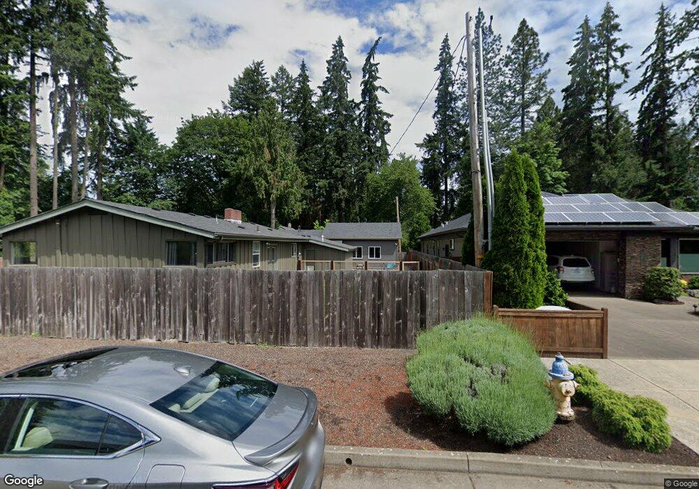
1421 Piper Ln Eugene, OR 97401
Cal Young NeighborhoodEstimated Value: $555,000 - $659,000
4
Beds
2
Baths
1,815
Sq Ft
$327/Sq Ft
Est. Value
About This Home
This home is located at 1421 Piper Ln, Eugene, OR 97401 and is currently estimated at $592,730, approximately $326 per square foot. 1421 Piper Ln is a home located in Lane County with nearby schools including Willagillespie Elementary School, Cal Young Middle School, and Sheldon High School.
Ownership History
Date
Name
Owned For
Owner Type
Purchase Details
Closed on
Dec 17, 2019
Sold by
Matthews Bryan and Matthews Bryan K
Bought by
Matthews Bryan
Current Estimated Value
Home Financials for this Owner
Home Financials are based on the most recent Mortgage that was taken out on this home.
Original Mortgage
$100,000
Outstanding Balance
$87,974
Interest Rate
3.6%
Mortgage Type
New Conventional
Estimated Equity
$504,756
Purchase Details
Closed on
Nov 29, 2004
Sold by
Rahnasto Rodney and Estate Of Jean H Rahnasto
Bought by
Matthews Bryan K
Create a Home Valuation Report for This Property
The Home Valuation Report is an in-depth analysis detailing your home's value as well as a comparison with similar homes in the area
Home Values in the Area
Average Home Value in this Area
Purchase History
| Date | Buyer | Sale Price | Title Company |
|---|---|---|---|
| Matthews Bryan | -- | Western Title & Escrow | |
| Matthews Bryan K | $120,000 | Western Title & Escrow Co |
Source: Public Records
Mortgage History
| Date | Status | Borrower | Loan Amount |
|---|---|---|---|
| Open | Matthews Bryan | $100,000 |
Source: Public Records
Tax History Compared to Growth
Tax History
| Year | Tax Paid | Tax Assessment Tax Assessment Total Assessment is a certain percentage of the fair market value that is determined by local assessors to be the total taxable value of land and additions on the property. | Land | Improvement |
|---|---|---|---|---|
| 2025 | $6,745 | $346,181 | -- | -- |
| 2024 | $6,661 | $336,099 | -- | -- |
| 2023 | $6,661 | $326,310 | $0 | $0 |
| 2022 | $6,240 | $316,806 | $0 | $0 |
| 2021 | $5,861 | $307,579 | $0 | $0 |
| 2020 | $5,882 | $298,621 | $0 | $0 |
| 2019 | $5,681 | $289,924 | $0 | $0 |
| 2018 | $5,343 | $273,282 | $0 | $0 |
| 2017 | $5,006 | $273,282 | $0 | $0 |
| 2016 | $4,755 | $265,322 | $0 | $0 |
| 2015 | $4,573 | $257,594 | $0 | $0 |
| 2014 | $4,428 | $250,091 | $0 | $0 |
Source: Public Records
Map
Nearby Homes
- 0 Piper Ln Unit Lot 1
- 0 Piper Ln Unit Lot 3
- 0 Piper Ln Unit Lot 2
- 0 Piper Ln Unit Lot 5
- 1328 Spyglass Dr
- 1750 Tabor St
- 1254 Rio Glen Dr
- 1641 Chasa St
- 1632 Larkspur Loop
- 1193 Rio Glen Dr
- 1332 Jeppesen Ave
- 410 Spyglass Dr
- 1059 Cal Young Rd
- 0 Cal Young Rd Unit Lot 4
- 1133 Spyglass Dr
- 0 Crenshaw Rd Unit 740506614
- 1735 Minda Dr
- 0 Butte Ln
- 993 Robin Hood Ave
- 516 Spyglass Dr