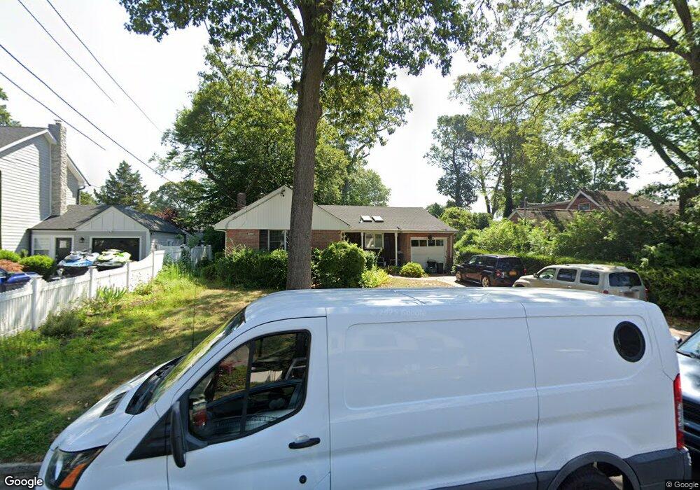
1421 Poulson St Wantagh, NY 11793
Estimated Value: $738,000 - $823,355
--
Bed
2
Baths
1,488
Sq Ft
$525/Sq Ft
Est. Value
About This Home
This home is located at 1421 Poulson St, Wantagh, NY 11793 and is currently estimated at $780,678, approximately $524 per square foot. 1421 Poulson St is a home located in Nassau County with nearby schools including Wantagh Middle School, Wantagh Senior High School, and Maria Regina Elementary School.
Ownership History
Date
Name
Owned For
Owner Type
Purchase Details
Closed on
Feb 14, 2013
Sold by
Finnegan John J and Finnegan Marie G
Bought by
Finnegan John J
Current Estimated Value
Purchase Details
Closed on
Sep 16, 1999
Sold by
Pappas James and Pappas Constance
Bought by
Finnegan John J and Finnegan Marie G
Home Financials for this Owner
Home Financials are based on the most recent Mortgage that was taken out on this home.
Original Mortgage
$225,000
Interest Rate
7.85%
Mortgage Type
Purchase Money Mortgage
Create a Home Valuation Report for This Property
The Home Valuation Report is an in-depth analysis detailing your home's value as well as a comparison with similar homes in the area
Home Values in the Area
Average Home Value in this Area
Purchase History
| Date | Buyer | Sale Price | Title Company |
|---|---|---|---|
| Finnegan John J | -- | -- | |
| Finnegan John J | $300,000 | Commonwealth Land Title Ins |
Source: Public Records
Mortgage History
| Date | Status | Borrower | Loan Amount |
|---|---|---|---|
| Previous Owner | Finnegan John J | $225,000 |
Source: Public Records
Tax History Compared to Growth
Tax History
| Year | Tax Paid | Tax Assessment Tax Assessment Total Assessment is a certain percentage of the fair market value that is determined by local assessors to be the total taxable value of land and additions on the property. | Land | Improvement |
|---|---|---|---|---|
| 2025 | $16,149 | $562 | $230 | $332 |
| 2024 | $3,753 | $531 | $214 | $317 |
| 2023 | $13,989 | $543 | $219 | $324 |
| 2022 | $13,989 | $570 | $230 | $340 |
| 2021 | $19,981 | $551 | $222 | $329 |
| 2020 | $12,129 | $721 | $664 | $57 |
| 2019 | $12,955 | $721 | $461 | $260 |
| 2018 | $12,184 | $1,039 | $0 | $0 |
| 2017 | $11,256 | $1,039 | $664 | $375 |
| 2016 | $15,792 | $1,039 | $664 | $375 |
| 2015 | $4,234 | $1,039 | $664 | $375 |
| 2014 | $4,234 | $1,039 | $664 | $375 |
| 2013 | $3,971 | $1,039 | $664 | $375 |
Source: Public Records
Map
Nearby Homes
- 1420 Poulson St
- 1480 Adam Place
- 3694 Maxwell Dr
- 1555 Henry Rd
- 3737 Maxwell Dr
- 3783 Charlotte Ct
- 1605 Henry Rd
- 3418 Silverton Ave
- 3435 Homestead Ave
- 3771 Jerusalem Ave
- 3592 Southview Ave
- 1630 Temple Dr
- 3405 Lufberry Ave
- 3562 Southview Ave
- 1441 Roth Rd
- 3356 Carrollton Ave
- 3556 Centerview Ave
- 3637 John St
- 22 Balsam Ct
- 3773 Arthur Ave W
- 1427 Poulson St
- 1415 Poulson St
- 3625 Carrollton Ave
- 1420 Gaston St
- 1435 Poulson St
- 1407 Poulson St
- 1414 Gaston St
- 1426 Gaston St
- 3607 Carrollton Ave
- 1414 Poulson St
- 1434 Gaston St
- 1401 Poulson St
- 1408 Poulson St
- 1402 Gaston St
- 3599 Carrollton Ave
- 1402 Poulson St
- 1395 Poulson St
- 3614 Carrollton Ave
- 1398 Gaston St
- 3624 Carrollton Ave