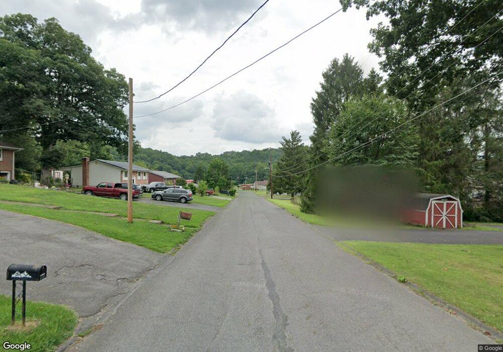
14211 Stonefield Ln SW Cumberland, MD 21502
Estimated Value: $178,000 - $196,000
--
Bed
1
Bath
975
Sq Ft
$192/Sq Ft
Est. Value
About This Home
This home is located at 14211 Stonefield Ln SW, Cumberland, MD 21502 and is currently estimated at $187,426, approximately $192 per square foot. 14211 Stonefield Ln SW is a home located in Allegany County with nearby schools including Bel Air Elementary School, Washington Middle School, and Fort Hill High School.
Ownership History
Date
Name
Owned For
Owner Type
Purchase Details
Closed on
Jun 30, 2005
Sold by
Szwast Joseph P
Bought by
Benson Walter F
Current Estimated Value
Home Financials for this Owner
Home Financials are based on the most recent Mortgage that was taken out on this home.
Original Mortgage
$80,000
Outstanding Balance
$41,788
Interest Rate
5.67%
Mortgage Type
New Conventional
Estimated Equity
$145,638
Purchase Details
Closed on
May 30, 2003
Sold by
Imes Rodney C and Imes Shannon M
Bought by
Szwast Joseph P
Purchase Details
Closed on
Sep 24, 1993
Sold by
Kahne Paul Steven-Kathleen B
Bought by
Imes Rodney C-Shannon M
Home Financials for this Owner
Home Financials are based on the most recent Mortgage that was taken out on this home.
Original Mortgage
$73,000
Interest Rate
6.95%
Create a Home Valuation Report for This Property
The Home Valuation Report is an in-depth analysis detailing your home's value as well as a comparison with similar homes in the area
Home Values in the Area
Average Home Value in this Area
Purchase History
| Date | Buyer | Sale Price | Title Company |
|---|---|---|---|
| Benson Walter F | $100,000 | -- | |
| Szwast Joseph P | $97,000 | -- | |
| Imes Rodney C-Shannon M | $73,000 | -- |
Source: Public Records
Mortgage History
| Date | Status | Borrower | Loan Amount |
|---|---|---|---|
| Open | Benson Walter F | $80,000 | |
| Closed | Benson Walter F | $20,000 | |
| Previous Owner | Imes Rodney C-Shannon M | $73,000 |
Source: Public Records
Tax History Compared to Growth
Tax History
| Year | Tax Paid | Tax Assessment Tax Assessment Total Assessment is a certain percentage of the fair market value that is determined by local assessors to be the total taxable value of land and additions on the property. | Land | Improvement |
|---|---|---|---|---|
| 2025 | $1,504 | $135,100 | $35,800 | $99,300 |
| 2024 | $1,504 | $124,633 | $0 | $0 |
| 2023 | $1,241 | $114,167 | $0 | $0 |
| 2022 | $1,252 | $103,700 | $30,000 | $73,700 |
| 2021 | $1,237 | $103,400 | $0 | $0 |
| 2020 | $1,244 | $103,100 | $0 | $0 |
| 2019 | $1,241 | $102,800 | $30,000 | $72,800 |
| 2018 | $1,241 | $102,800 | $30,000 | $72,800 |
| 2017 | $1,242 | $102,800 | $0 | $0 |
| 2016 | -- | $113,500 | $0 | $0 |
| 2015 | -- | $113,200 | $0 | $0 |
| 2014 | -- | $112,900 | $0 | $0 |
Source: Public Records
Map
Nearby Homes
- 15708 Downing St SW
- 15700 Acorn Ct SW
- 14219 N Bel Air Dr SW
- 15609 Westwood Rd SW
- 15421 Shamrock Rd SW
- 14248 Cunningham Dr SW
- 14507 Bourbon St SW
- 14605 Mcgill Dr SW
- 15507 Ivy Ct SW
- 15104 Truly Dr SW
- 14100 Brant Rd SW
- 11813 Illinois Ave
- 15101 Colonial Ct SW
- 13815 Brant Rd SW
- 15105 Laurel Ridge Rd SW
- 16529 Oak Crest Ln SW
- 14801 Connecticut Ave
- 13813 Maple Tree Ln SW
- 13721 Rock Garden Rd SW
- 13704 Fir Tree Ln
- 14209 Stonefield Ln SW
- 15614 Winslow St SW
- 15611 Winslow St SW
- 14207 Stonefield Ln SW
- 15700 Winslow St SW
- 15613 Winslow St SW
- 15612 Winslow St SW
- 15607 Winslow St SW
- 15701 Winslow St SW
- 15701 Downing St SW
- 14205 Stonefield Ln SW
- 15702 Winslow St SW
- 15703 Winslow St SW
- 15602 Harvest Dr SW
- 15604 Harvest Dr SW
- 15703 Downing St SW
- 15600 Harvest Dr SW
- 15606 Harvest Dr SW
- 15704 Winslow St SW
- 15605 Packard Dr