14219 Lewisdale Rd Clarksburg, MD 20871
Estimated Value: $726,000 - $832,000
--
Bed
4
Baths
2,068
Sq Ft
$370/Sq Ft
Est. Value
About This Home
This home is located at 14219 Lewisdale Rd, Clarksburg, MD 20871 and is currently estimated at $765,731, approximately $370 per square foot. 14219 Lewisdale Rd is a home located in Montgomery County with nearby schools including Little Bennett Elementary, Rocky Hill Middle School, and Clarksburg High.
Ownership History
Date
Name
Owned For
Owner Type
Purchase Details
Closed on
May 23, 2024
Sold by
Allen Debra Tracey and Allen Gene William
Bought by
Allen Debra Tracey and Allen Gene William
Current Estimated Value
Purchase Details
Closed on
Feb 2, 2024
Sold by
Allen Debra Tracey
Bought by
Bender Kevin William
Purchase Details
Closed on
Sep 18, 2019
Sold by
Allen Zoe P
Bought by
Allen Zoe P and Allen Debra
Purchase Details
Closed on
Aug 15, 2000
Sold by
Dodd Kenneth T and Dodd R J
Bought by
Allen Zoe P
Purchase Details
Closed on
Mar 28, 1996
Sold by
K Robert R and K Rippeon K
Bought by
R Kenneth T and R Dodd J
Create a Home Valuation Report for This Property
The Home Valuation Report is an in-depth analysis detailing your home's value as well as a comparison with similar homes in the area
Home Values in the Area
Average Home Value in this Area
Purchase History
| Date | Buyer | Sale Price | Title Company |
|---|---|---|---|
| Allen Debra Tracey | -- | None Listed On Document | |
| Allen Drebra Tracey | -- | None Listed On Document | |
| Allen Drebra Tracey | -- | None Listed On Document | |
| Bender Kevin William | -- | None Listed On Document | |
| Bender Kevin William | -- | None Listed On Document | |
| Allen Zoe P | -- | Accommodation | |
| Allen Zoe P | $334,900 | -- | |
| R Kenneth T | $265,000 | -- |
Source: Public Records
Tax History Compared to Growth
Tax History
| Year | Tax Paid | Tax Assessment Tax Assessment Total Assessment is a certain percentage of the fair market value that is determined by local assessors to be the total taxable value of land and additions on the property. | Land | Improvement |
|---|---|---|---|---|
| 2025 | $7,682 | $619,900 | -- | -- |
| 2024 | $7,682 | $599,500 | $213,400 | $386,100 |
| 2023 | $6,738 | $581,367 | $0 | $0 |
| 2022 | $6,230 | $563,233 | $0 | $0 |
| 2021 | $2,955 | $545,100 | $213,400 | $331,700 |
| 2020 | $2,955 | $543,467 | $0 | $0 |
| 2019 | $5,869 | $541,833 | $0 | $0 |
| 2018 | $5,853 | $540,200 | $213,400 | $326,800 |
| 2017 | $5,963 | $540,200 | $0 | $0 |
| 2016 | -- | $540,200 | $0 | $0 |
| 2015 | $5,764 | $545,600 | $0 | $0 |
| 2014 | $5,764 | $545,600 | $0 | $0 |
Source: Public Records
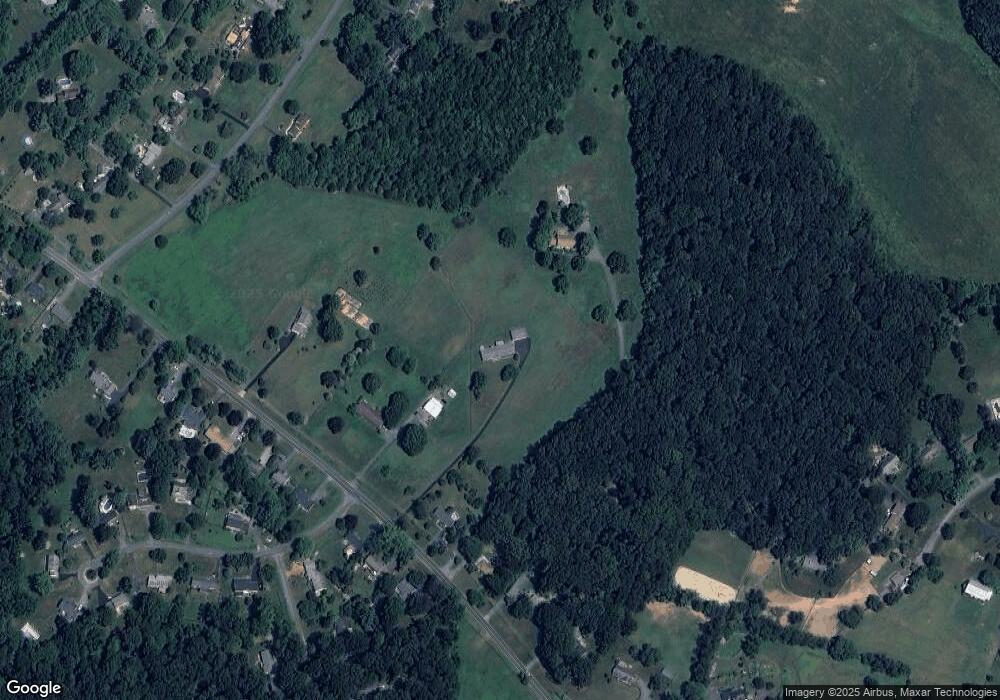
Map
Nearby Homes
- 14208 Lewisdale Rd
- 14449 Lewisdale Rd
- 26410 Haines Rd
- 2420 Prices Distillery Rd
- 10009 York Dr
- 10007 York Dr
- 2032 Fire Tower Ln
- 2318 Persimmon Dr
- 26506 Clarksburg Rd
- 2915 Loch Haven Ct
- 26815 Clarksburg Rd
- 2749 Loch Haven Dr
- 0 Doctor Perry Rd Unit MDFR2065000
- 11207 Bramblewood Ct
- 9920 Doctor Perry Rd
- 25526 Burnt Hill Rd
- 11377 Canary Dr
- 3479 Pleasant Grove Dr
- 11378 Canary Dr
- 11589A Nor Ray Cir
- 14211 Lewisdale Rd
- 14301 Lewisdale Rd
- 14213 Lewisdale Rd
- 14209 Lewisdale Rd
- 14315 Lewisdale Rd
- 14205 Lewisdale Rd
- 14220 Lewisdale Rd
- 14216 Lewisdale Rd
- 14300 Lewisdale Rd
- 14212 Lewisdale Rd
- 14308 Lewisdale Rd
- 14201 Lewisdale Rd
- 26409 Forest Vista Dr
- 14312 Lewisdale Rd
- 2240 Regina Dr
- 26405 Forest Vista Dr
- 14311 Sugarloaf Vista Dr
- 14316 Lewisdale Rd
- 2238 Regina Dr
- 14111 Lewisdale Rd