1422 Cinnamon Rd Larkspur, CO 80118
Estimated Value: $998,294 - $1,217,000
2
Beds
3
Baths
2,109
Sq Ft
$524/Sq Ft
Est. Value
About This Home
This home is located at 1422 Cinnamon Rd, Larkspur, CO 80118 and is currently estimated at $1,105,074, approximately $523 per square foot. 1422 Cinnamon Rd is a home located in Douglas County with nearby schools including Larkspur Elementary School, Castle Rock Middle School, and Castle View High School.
Ownership History
Date
Name
Owned For
Owner Type
Purchase Details
Closed on
Oct 27, 2006
Sold by
Danti Robert Lee and Danti Marie H
Bought by
Danti Marie H
Current Estimated Value
Purchase Details
Closed on
Feb 5, 1999
Sold by
Swahn Charles J and Swahn Margaret
Bought by
Danti Robert Lee and Danti Marie H
Purchase Details
Closed on
Sep 17, 1996
Sold by
Sterling Pointe Development Llc
Bought by
Swahn Charles J and Swahn Margaret
Home Financials for this Owner
Home Financials are based on the most recent Mortgage that was taken out on this home.
Original Mortgage
$42,945
Interest Rate
11%
Mortgage Type
Unknown
Create a Home Valuation Report for This Property
The Home Valuation Report is an in-depth analysis detailing your home's value as well as a comparison with similar homes in the area
Home Values in the Area
Average Home Value in this Area
Purchase History
| Date | Buyer | Sale Price | Title Company |
|---|---|---|---|
| Danti Marie H | -- | None Available | |
| Danti Robert Lee | $415,000 | First American Heritage Titl | |
| Swahn Charles J | $61,350 | -- |
Source: Public Records
Mortgage History
| Date | Status | Borrower | Loan Amount |
|---|---|---|---|
| Previous Owner | Swahn Charles J | $42,945 |
Source: Public Records
Tax History Compared to Growth
Tax History
| Year | Tax Paid | Tax Assessment Tax Assessment Total Assessment is a certain percentage of the fair market value that is determined by local assessors to be the total taxable value of land and additions on the property. | Land | Improvement |
|---|---|---|---|---|
| 2024 | $5,940 | $71,320 | $21,390 | $49,930 |
| 2023 | $5,999 | $71,320 | $21,390 | $49,930 |
| 2022 | $4,291 | $52,260 | $14,600 | $37,660 |
| 2021 | $4,442 | $52,260 | $14,600 | $37,660 |
| 2020 | $3,732 | $46,010 | $9,940 | $36,070 |
| 2019 | $3,744 | $46,010 | $9,940 | $36,070 |
| 2018 | $3,027 | $38,060 | $9,130 | $28,930 |
| 2017 | $2,845 | $38,060 | $9,130 | $28,930 |
| 2016 | $3,235 | $42,480 | $10,750 | $31,730 |
| 2015 | $3,164 | $42,480 | $10,750 | $31,730 |
| 2014 | $3,565 | $36,460 | $9,950 | $26,510 |
Source: Public Records
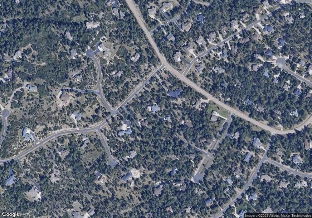
Map
Nearby Homes
- 1600 Independence Dr Unit 50
- 7596 Rollins Dr
- 1065 Independence Dr
- 1025 Tenderfoot Dr
- 7317 Fremont Place
- 1038 Tenderfoot Dr
- 1653 Gore Dr
- 0 E Cherry Creek Rd Unit 2541327
- 0 E Cherry Creek Rd Unit REC1786246
- 929 Tenderfoot Dr
- 1275 Fremont Dr
- 950 Tenderfoot Dr
- 7169 Independence Ct
- 1210 Kenosha Dr
- 1892 Lake Dr
- 1935 Poncha Ct
- 1151 Kenosha Dr
- 691 Cumberland Rd
- 773 Copper Fox Place
- 7076 Boreas Rd
- 1454 Cinnamon Rd
- 1384 Cinnamon Rd
- 7635 Rollins Dr
- 1138 Independence Dr
- 1498 Cinnamon Rd
- 7645 Rollins Dr
- 7406 Cameron Dr
- 7615 Rollins Dr
- 1379 Cinnamon Rd
- 7686 Kebler Ct
- 7595 Rollins Dr
- 7411 Cameron Dr
- 7868 Cinnamon Cir
- 7638 Kebler Ct
- 7659 Rollins Dr
- 0000 Independence Dr
- 588 Independence Dr
- 1600 Independence Dr
- 1111 Independence Dr
- 7410 Cameron Dr