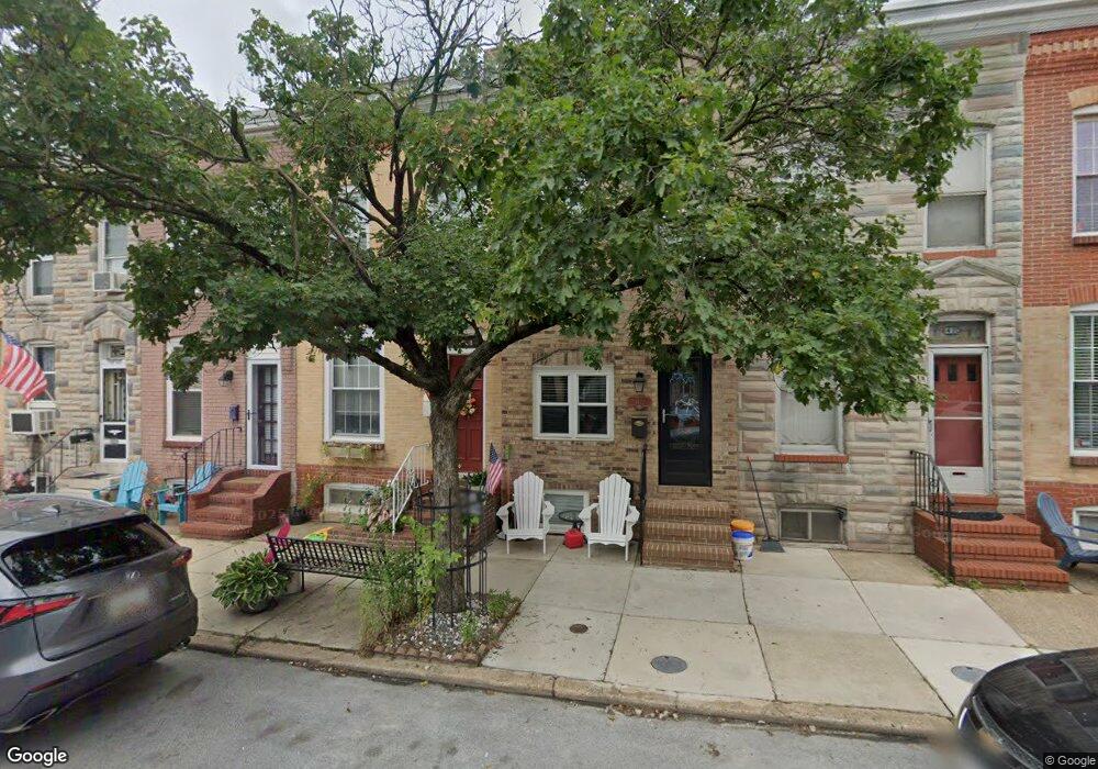
1422 Decatur St Baltimore, MD 21230
Locust Point NeighborhoodEstimated Value: $340,730 - $419,000
Studio
3
Baths
1,272
Sq Ft
$299/Sq Ft
Est. Value
About This Home
This home is located at 1422 Decatur St, Baltimore, MD 21230 and is currently estimated at $379,865, approximately $298 per square foot. 1422 Decatur St is a home located in Baltimore City with nearby schools including Francis Scott Key Elementary/Middle School, Booker T. Washington Middle School, and Digital Harbor High School.
Ownership History
Date
Name
Owned For
Owner Type
Purchase Details
Closed on
Nov 20, 2017
Sold by
Landlock Mamagement Llc
Bought by
Sampson Julie M
Current Estimated Value
Home Financials for this Owner
Home Financials are based on the most recent Mortgage that was taken out on this home.
Original Mortgage
$349,001
Outstanding Balance
$293,216
Interest Rate
3.95%
Estimated Equity
$86,649
Purchase Details
Closed on
Oct 21, 2008
Sold by
Charles L Schreiner Wf
Bought by
Schreiner Charles L and Schreiner Agnes M
Purchase Details
Closed on
Oct 8, 2008
Sold by
Charles L Schreiner Wf
Bought by
Schreiner Charles L and Schreiner Agnes M
Create a Home Valuation Report for This Property
The Home Valuation Report is an in-depth analysis detailing your home's value as well as a comparison with similar homes in the area
Home Values in the Area
Average Home Value in this Area
Purchase History
We collect this data history from publicly available records. To have your information removed, we recommend requesting removal directly through your county’s website.
| Date | Buyer | Sale Price | Title Company |
|---|---|---|---|
| Sampson Julie M | $359,795 | -- | |
| Schreiner Charles L | -- | -- | |
| Schreiner Charles L | -- | -- |
Source: Public Records
Mortgage History
We collect this data history from publicly available records. To have your information removed, we recommend requesting removal directly through your county’s website.
| Date | Status | Borrower | Loan Amount |
|---|---|---|---|
| Open | Sampson Julie M | $349,001 | |
| Closed | Sampson Julie M | -- |
Source: Public Records
Tax History
| Year | Tax Paid | Tax Assessment Tax Assessment Total Assessment is a certain percentage of the fair market value that is determined by local assessors to be the total taxable value of land and additions on the property. | Land | Improvement |
|---|---|---|---|---|
| 2025 | $6,588 | $355,700 | -- | -- |
| 2024 | $6,588 | $350,200 | -- | -- |
| 2023 | $6,338 | $344,700 | $80,000 | $264,700 |
| 2022 | $6,084 | $342,900 | $0 | $0 |
| 2021 | $8,050 | $341,100 | $0 | $0 |
| 2020 | $5,546 | $339,300 | $80,000 | $259,300 |
| 2019 | $5,259 | $291,967 | $0 | $0 |
| 2018 | $5,773 | $244,633 | $0 | $0 |
| 2017 | $4,656 | $197,300 | $0 | $0 |
| 2016 | $2,006 | $193,667 | $0 | $0 |
| 2015 | $2,006 | $190,033 | $0 | $0 |
| 2014 | $2,006 | $186,400 | $0 | $0 |
Source: Public Records
Map
Nearby Homes
- 1432 Haubert St
- 1437 E Fort Ave
- 1459 Hull St
- 1403 E Clement St
- 1500 Latrobe Park Terrace
- 1421 Hull St
- 1425 Cooksie St
- 1408 Towson St
- 1307 Haubert St
- 1566 Lowman St
- 1358 Towson St
- 1344 Towson St
- 1126 E Fort Ave
- 1314 Towson St
- 1456 Andre St
- 1414 Andre St
- 1352 Andre St
- 1342 Andre St
- 1200 Steuart St Unit 1515
- 1200 Steuart St Unit 713
- 1406 E Fort Ave
- 1408 E Fort Ave
- 1404 E Fort Ave
- 1410 E Fort Ave
- 1402 E Fort Ave
- 1412 E Fort Ave
- 1400 E Fort Ave
- 1414 E Fort Ave
- 1447 Decatur St
- 1416 E Fort Ave
- 1445 Decatur St
- 1418 E Fort Ave
- 1443 Decatur St
- 1446 Haubert St
- 1420 E Fort Ave
- 0 Decatur St Unit STRAUSS 4STY
- 1441 Decatur St
- 1444 Haubert St
- 1442 Haubert St
- 1439 Decatur St
Your Personal Tour Guide
Ask me questions while you tour the home.