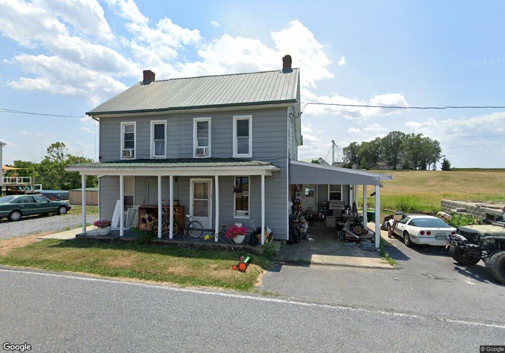
1422 Milnor Rd Greencastle, PA 17225
Estimated Value: $147,224 - $423,000
--
Bed
--
Bath
1,880
Sq Ft
$151/Sq Ft
Est. Value
About This Home
This home is located at 1422 Milnor Rd, Greencastle, PA 17225 and is currently estimated at $283,806, approximately $150 per square foot. 1422 Milnor Rd is a home located in Franklin County with nearby schools including Greencastle-Antrim Primary School, Greencastle-Antrim Elementary School, and Greencastle-Antrim Middle School.
Ownership History
Date
Name
Owned For
Owner Type
Purchase Details
Closed on
Oct 24, 2008
Sold by
Pryor Barbara
Bought by
Hessong Edward L and Hessong Betty L
Current Estimated Value
Home Financials for this Owner
Home Financials are based on the most recent Mortgage that was taken out on this home.
Original Mortgage
$72,000
Interest Rate
6.08%
Mortgage Type
New Conventional
Purchase Details
Closed on
Sep 14, 2005
Sold by
Duffy Kinsey Scott Daniel and Duffy Kinsey Barbara
Bought by
Pryor Barbara
Home Financials for this Owner
Home Financials are based on the most recent Mortgage that was taken out on this home.
Original Mortgage
$33,000
Interest Rate
5.84%
Mortgage Type
New Conventional
Create a Home Valuation Report for This Property
The Home Valuation Report is an in-depth analysis detailing your home's value as well as a comparison with similar homes in the area
Home Values in the Area
Average Home Value in this Area
Purchase History
| Date | Buyer | Sale Price | Title Company |
|---|---|---|---|
| Hessong Edward L | $90,000 | None Available | |
| Pryor Barbara | $165,000 | None Available |
Source: Public Records
Mortgage History
| Date | Status | Borrower | Loan Amount |
|---|---|---|---|
| Closed | Hessong Edward L | $72,000 | |
| Previous Owner | Pryor Barbara | $33,000 | |
| Previous Owner | Pryor Barbara | $132,000 |
Source: Public Records
Tax History Compared to Growth
Tax History
| Year | Tax Paid | Tax Assessment Tax Assessment Total Assessment is a certain percentage of the fair market value that is determined by local assessors to be the total taxable value of land and additions on the property. | Land | Improvement |
|---|---|---|---|---|
| 2025 | $1,665 | $9,950 | $600 | $9,350 |
| 2024 | $1,510 | $9,950 | $600 | $9,350 |
| 2023 | $1,492 | $9,950 | $600 | $9,350 |
| 2022 | $1,492 | $9,950 | $600 | $9,350 |
| 2021 | $1,463 | $9,950 | $600 | $9,350 |
| 2020 | $1,425 | $9,950 | $600 | $9,350 |
| 2019 | $1,393 | $9,950 | $600 | $9,350 |
| 2018 | $1,378 | $9,950 | $600 | $9,350 |
| 2017 | $1,343 | $9,950 | $600 | $9,350 |
| 2016 | $285 | $9,950 | $600 | $9,350 |
| 2015 | $266 | $9,950 | $600 | $9,350 |
| 2014 | $266 | $9,950 | $600 | $9,350 |
Source: Public Records
Map
Nearby Homes
- 12689 Williamsport Pike
- 10135 Jasper Dr
- 2428 Pikeside Dr
- 642 Milnor Rd
- 270 Paradise View Dr
- 460 Paradise View Dr
- 10937 Grant Shook Rd
- 10925 Grant Shook Rd
- Lot # 6-36 Paradise View Dr
- 20 Helens Dr
- 11765 Melrose Ave
- 707 Shook Ct W
- 12976 Daybreak Ln
- 763 Joy Dr
- 226 Milnor Rd
- 281 Toms Ln
- 0 Molly Pitcher Hwy Unit PAFL178468
- 0 Molly Pitcher Hwy Unit PAFL2030380
- 0 Hykes Rd
- 14433 Williamsport Pike
- 1378 Milnor Rd
- 1284 Milnor Rd
- 13082 Williamsport Pike
- 1093 Milnor Rd
- 12944 Williamsport Pike
- 12946 Williamsport Pike
- 12960 Williamsport Pike
- 12704 Williamsport Pike
- 26 Jasper Dr S
- 31 Jasper Dr S
- 28 Jasper Dr S
- 12935 Williamsport Pike
- 12903 Williamsport Pike
- 12963 Williamsport Pike
- 12897 Williamsport Pike
- 12819 Williamsport Pike
- 1070 Milnor Rd
- 13005 Williamsport Pike
- 12801 Williamsport Pike
- 12775 Williamsport Pike