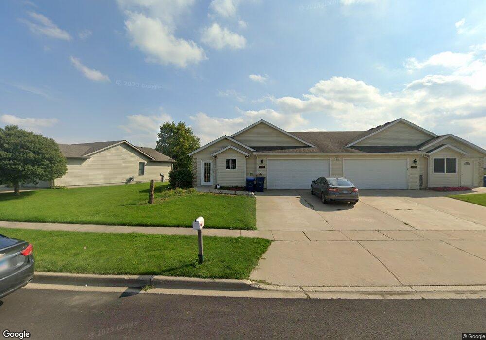
1422 Moluf St Dekalb, IL 60115
Estimated Value: $234,854 - $288,000
--
Bed
--
Bath
--
Sq Ft
7,623
Sq Ft Lot
About This Home
This home is located at 1422 Moluf St, Dekalb, IL 60115 and is currently estimated at $253,964. 1422 Moluf St is a home located in DeKalb County with nearby schools including Founders Elementary School, Huntley Middle School, and De Kalb High School.
Ownership History
Date
Name
Owned For
Owner Type
Purchase Details
Closed on
May 5, 2022
Sold by
Dennis H Elliott Trust
Bought by
Robinson Brandon L
Current Estimated Value
Home Financials for this Owner
Home Financials are based on the most recent Mortgage that was taken out on this home.
Original Mortgage
$188,522
Outstanding Balance
$178,264
Interest Rate
4.75%
Mortgage Type
FHA
Estimated Equity
$75,700
Purchase Details
Closed on
Feb 4, 2005
Sold by
Elliott James A
Bought by
Elliott Trust
Create a Home Valuation Report for This Property
The Home Valuation Report is an in-depth analysis detailing your home's value as well as a comparison with similar homes in the area
Home Values in the Area
Average Home Value in this Area
Purchase History
| Date | Buyer | Sale Price | Title Company |
|---|---|---|---|
| Robinson Brandon L | $192,000 | Cebula Law Offices Pc | |
| Elliott Trust | -- | -- | |
| Elliott Trust | $120,000 | -- |
Source: Public Records
Mortgage History
| Date | Status | Borrower | Loan Amount |
|---|---|---|---|
| Open | Robinson Brandon L | $188,522 |
Source: Public Records
Tax History Compared to Growth
Tax History
| Year | Tax Paid | Tax Assessment Tax Assessment Total Assessment is a certain percentage of the fair market value that is determined by local assessors to be the total taxable value of land and additions on the property. | Land | Improvement |
|---|---|---|---|---|
| 2024 | $4,765 | $64,801 | $7,406 | $57,395 |
| 2023 | $4,765 | $56,501 | $6,457 | $50,044 |
| 2022 | $4,617 | $51,585 | $7,369 | $44,216 |
| 2021 | $4,700 | $48,382 | $6,911 | $41,471 |
| 2020 | $4,796 | $47,611 | $6,801 | $40,810 |
| 2019 | $4,674 | $45,740 | $6,534 | $39,206 |
| 2018 | $4,540 | $44,189 | $6,312 | $37,877 |
| 2017 | $4,554 | $42,477 | $6,067 | $36,410 |
| 2016 | $4,485 | $41,405 | $5,914 | $35,491 |
| 2015 | -- | $39,232 | $5,604 | $33,628 |
| 2014 | -- | $39,737 | $8,108 | $31,629 |
| 2013 | -- | $41,741 | $8,517 | $33,224 |
Source: Public Records
Map
Nearby Homes
- 1289 Ivy St
- 1548 Moluf St
- 664 Magnolia St
- 685 Persimmon St
- 643 Plum St
- 1563 Farmstead Ln
- 451 Thresher St
- 476 Thresher St
- 1692 Furrow St
- 1663 Furrow St
- 1723 Goldenrod Turn
- 399 Bantam St
- 1734 Sunglow Ln
- The Wesley Plan at Bridges of Rivermist
- The Samuel Plan at Bridges of Rivermist
- 910 Dawn Ct
- 1143 Quail Run
- 1133 Golf Ct
- 1177 Golf Ct
- 752 Kensington Blvd