1422 Moore Rd Newnan, GA 30263
Estimated Value: $315,360 - $531,000
Studio
2
Baths
1,714
Sq Ft
$220/Sq Ft
Est. Value
About This Home
This home is located at 1422 Moore Rd, Newnan, GA 30263 and is currently estimated at $376,840, approximately $219 per square foot. 1422 Moore Rd is a home located in Coweta County with nearby schools including Poplar Road Elementary School, East Coweta Middle School, and East Coweta High School.
Ownership History
Date
Name
Owned For
Owner Type
Purchase Details
Closed on
Nov 20, 2018
Sold by
Urquhart Deborah T
Bought by
Mullet Tasha Marie
Current Estimated Value
Purchase Details
Closed on
Feb 18, 2003
Sold by
Lathrop Harry A
Bought by
Lathrop Debroah T
Purchase Details
Closed on
Sep 3, 2002
Sold by
Lathrop Harry A
Bought by
Lathrop Deborah T
Purchase Details
Closed on
Jul 23, 1993
Bought by
Lathrop Harry A and Lathrop De
Purchase Details
Closed on
Dec 20, 1989
Bought by
Satterfield Satterfield J and Satterfield Ke
Create a Home Valuation Report for This Property
The Home Valuation Report is an in-depth analysis detailing your home's value as well as a comparison with similar homes in the area
Home Values in the Area
Average Home Value in this Area
Purchase History
| Date | Buyer | Sale Price | Title Company |
|---|---|---|---|
| Mullet Tasha Marie | -- | -- | |
| Lathrop Debroah T | -- | -- | |
| Lathrop Deborah T | -- | -- | |
| Lathrop Harry A | $19,000 | -- | |
| Satterfield Satterfield J | -- | -- |
Source: Public Records
Tax History
| Year | Tax Paid | Tax Assessment Tax Assessment Total Assessment is a certain percentage of the fair market value that is determined by local assessors to be the total taxable value of land and additions on the property. | Land | Improvement |
|---|---|---|---|---|
| 2025 | $2,523 | $111,644 | $36,201 | $75,442 |
| 2024 | $2,548 | $114,355 | $36,201 | $78,154 |
| 2023 | $2,548 | $102,355 | $33,876 | $68,479 |
Source: Public Records
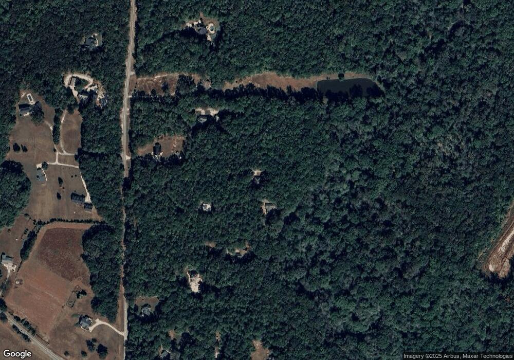
Map
Nearby Homes
- 157 Ryeland Dr
- 2725 Gordon Rd
- 215 Grey Fairs Ave
- 158 Gordon Oaks Way
- 92 Gordon Oaks Way
- 19 Allison Rd
- 118 Cherokee Farms Dr
- 2089 Moore Rd
- LOT 4 Puckett Station None
- 0 Highway 54 Unit 10561313
- 0 Highway 54 Unit 7613124
- 5 Allison Rd
- 116 Homesite Saddle Dr
- 152 Bear Creek Rd
- 113 Homesite Saddle Dr
- 114 Homesite Saddle Dr
- 117 Dr
- 967 Tope Rd
- 0 Cannon Rd Unit 7627017
- 0 Cannon Rd Unit 10566028
- 1434 Moore Rd
- 1456 Moore Rd
- 1370 Moore Rd
- 1402 Moore Rd
- 1366 Moore Rd
- 1486 Moore Rd
- 1350 Moore Rd
- 1500 Moore Rd
- 1407 Moore Rd
- 2508 Gordon Rd
- 2488 Gordon Rd
- 1397 Moore Rd
- 2468 Gordon Rd
- 2530 Gordon Rd
- 1405 Moore Rd
- 1347 Moore Rd
- 1511 Moore Rd
- 0 Gordon and Couch Unit 8365659
- 0 Gordon Road and Eastside School Rd Unit 8370249
- 2550 Gordon Rd
Your Personal Tour Guide
Ask me questions while you tour the home.