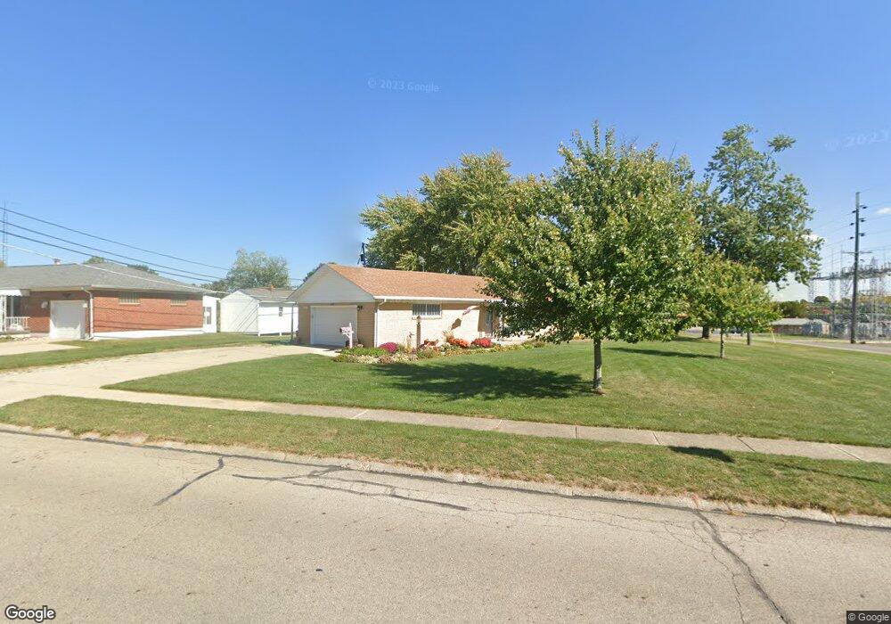
1422 Moorefield Rd Springfield, OH 45503
Estimated Value: $195,000 - $225,932
3
Beds
2
Baths
1,175
Sq Ft
$182/Sq Ft
Est. Value
About This Home
This home is located at 1422 Moorefield Rd, Springfield, OH 45503 and is currently estimated at $214,233, approximately $182 per square foot. 1422 Moorefield Rd is a home located in Clark County with nearby schools including Northridge Elementary School, Kenton Ridge Middle & High School, and Emmanuel Christian Academy.
Ownership History
Date
Name
Owned For
Owner Type
Purchase Details
Closed on
Jul 22, 2004
Sold by
Geer James and Geer Fonda
Bought by
Hays Frederick T and Hays Cathy G
Current Estimated Value
Home Financials for this Owner
Home Financials are based on the most recent Mortgage that was taken out on this home.
Original Mortgage
$93,925
Outstanding Balance
$46,528
Interest Rate
6.42%
Mortgage Type
Purchase Money Mortgage
Estimated Equity
$167,705
Purchase Details
Closed on
Sep 30, 2003
Sold by
Geer James F
Bought by
Hays Fred and Hays Cathy
Home Financials for this Owner
Home Financials are based on the most recent Mortgage that was taken out on this home.
Original Mortgage
$95,000
Interest Rate
6.06%
Mortgage Type
Seller Take Back
Purchase Details
Closed on
Aug 16, 1991
Create a Home Valuation Report for This Property
The Home Valuation Report is an in-depth analysis detailing your home's value as well as a comparison with similar homes in the area
Home Values in the Area
Average Home Value in this Area
Purchase History
| Date | Buyer | Sale Price | Title Company |
|---|---|---|---|
| Hays Frederick T | $105,000 | -- | |
| Hays Fred | $105,000 | -- | |
| -- | -- | -- |
Source: Public Records
Mortgage History
| Date | Status | Borrower | Loan Amount |
|---|---|---|---|
| Open | Hays Frederick T | $93,925 | |
| Previous Owner | Hays Fred | $95,000 |
Source: Public Records
Tax History
| Year | Tax Paid | Tax Assessment Tax Assessment Total Assessment is a certain percentage of the fair market value that is determined by local assessors to be the total taxable value of land and additions on the property. | Land | Improvement |
|---|---|---|---|---|
| 2025 | $2,329 | $63,460 | $15,690 | $47,770 |
| 2024 | $2,252 | $53,260 | $14,440 | $38,820 |
| 2023 | $2,252 | $53,260 | $14,440 | $38,820 |
| 2022 | $2,261 | $53,260 | $14,440 | $38,820 |
| 2021 | $2,075 | $41,430 | $10,780 | $30,650 |
| 2020 | $2,077 | $41,430 | $10,780 | $30,650 |
| 2019 | $2,116 | $41,430 | $10,780 | $30,650 |
| 2018 | $2,072 | $38,930 | $11,950 | $26,980 |
| 2017 | $1,775 | $40,650 | $11,946 | $28,704 |
| 2016 | $1,763 | $40,650 | $11,946 | $28,704 |
| 2015 | $1,910 | $40,650 | $11,946 | $28,704 |
| 2014 | $955 | $40,650 | $11,946 | $28,704 |
| 2013 | $933 | $40,650 | $11,946 | $28,704 |
Source: Public Records
Map
Nearby Homes
- 5033 Ridgewood Rd E
- 1521 Erika Dr
- 1709 Thomas Dr
- 4802 Willowbrook Dr
- 4741 Cullen Ave
- 4652 Reno Ln Unit 15
- 4577 Reno Ln Unit 2
- 5564 Ridgewood Rd E Unit 7
- 1495 Victorian Way
- 4446 Ridgewood Rd E Unit 3
- 5564 Ridgewood Rd W
- 1341 Student Ave
- 4343 Burchill St
- 1836 Dunseth Ln
- 4256 Midfield St Unit 9
- 1398 Elizabeth Ct Unit 66
- 1977 Willoughby Ave
- 1812 Willow Lakes Dr
- 937 Willow Rd
- 593 Hiser Ave
- 5016 Taywell Dr
- 1434 Moorefield Rd
- 1431 Midland Place
- 1350 Moorefield Rd
- 5022 Taywell Dr
- 1411 Moorefield Rd
- 5019 Taywell Dr
- 1439 Midland Place
- 5027 Taywell Dr
- 1449 Moorefield Rd
- 1344 Moorefield Rd
- 5100 Taywell Dr
- 1440 Midland Place
- 1343 Waltin Ln
- 5021 Stoneridge Dr
- 1342 Moorefield Rd
- 1339 Waltin Ln
- 1405 Midland Rd
- 5015 Stoneridge Dr
- 1418 Midland Rd
Your Personal Tour Guide
Ask me questions while you tour the home.