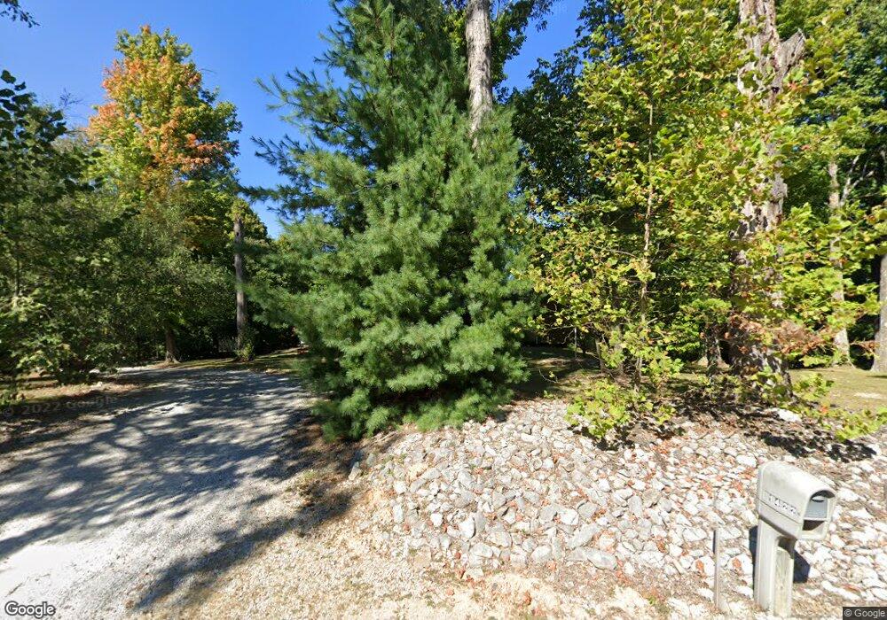
1422 Mt Gilead Rd Boonville, IN 47601
Estimated Value: $420,000 - $530,000
3
Beds
2
Baths
2,136
Sq Ft
$223/Sq Ft
Est. Value
About This Home
This home is located at 1422 Mt Gilead Rd, Boonville, IN 47601 and is currently estimated at $475,281, approximately $222 per square foot. 1422 Mt Gilead Rd is a home located in Warrick County with nearby schools including Oakdale Elementary School, Boonville Middle School, and Boonville High School.
Ownership History
Date
Name
Owned For
Owner Type
Purchase Details
Closed on
Aug 31, 2010
Sold by
Hadley David W and Hadley Linda K
Bought by
Barr Douglas I and Barr Katherine T
Current Estimated Value
Home Financials for this Owner
Home Financials are based on the most recent Mortgage that was taken out on this home.
Original Mortgage
$232,750
Outstanding Balance
$154,082
Interest Rate
4.49%
Mortgage Type
New Conventional
Estimated Equity
$321,199
Create a Home Valuation Report for This Property
The Home Valuation Report is an in-depth analysis detailing your home's value as well as a comparison with similar homes in the area
Home Values in the Area
Average Home Value in this Area
Purchase History
| Date | Buyer | Sale Price | Title Company |
|---|---|---|---|
| Barr Douglas I | -- | None Available |
Source: Public Records
Mortgage History
| Date | Status | Borrower | Loan Amount |
|---|---|---|---|
| Open | Barr Douglas I | $232,750 |
Source: Public Records
Tax History Compared to Growth
Tax History
| Year | Tax Paid | Tax Assessment Tax Assessment Total Assessment is a certain percentage of the fair market value that is determined by local assessors to be the total taxable value of land and additions on the property. | Land | Improvement |
|---|---|---|---|---|
| 2024 | $2,956 | $357,600 | $71,000 | $286,600 |
| 2023 | $3,062 | $360,700 | $71,000 | $289,700 |
| 2022 | $2,925 | $316,900 | $47,500 | $269,400 |
| 2021 | $2,498 | $253,500 | $37,000 | $216,500 |
| 2020 | $2,645 | $256,000 | $37,000 | $219,000 |
| 2019 | $2,662 | $253,000 | $37,000 | $216,000 |
| 2018 | $2,390 | $239,200 | $37,000 | $202,200 |
| 2017 | $2,308 | $232,200 | $37,000 | $195,200 |
| 2016 | $2,244 | $228,900 | $37,000 | $191,900 |
| 2014 | $2,228 | $233,700 | $37,000 | $196,700 |
| 2013 | $2,160 | $232,500 | $37,000 | $195,500 |
Source: Public Records
Map
Nearby Homes
- 1500 S Pelzer Rd
- 2099 S Pelzer Rd
- 1255 Maple Grove Rd
- 1555 W Maple Grove Rd
- 1877 Maple Grove Rd
- 1311 S 2nd St
- 0 Washington St Unit 202539739
- 1306 S 1st St
- 1514 Mac-Ray Dr
- 255 Tower Dr
- 902 Maxville Rd
- 603 E Moore St
- 420 E Moore St
- 424 E Oak St
- 211 E Division St
- 407 S 8th St
- 403 S 8th St
- 1595 Victoria Woods Dr
- 2162 Victoria Woods Dr
- 1583 Victoria Woods Dr
- 1422 Mount Gilead Rd
- 1411 Mt Gilead Rd
- 1377 Mt Gilead Rd
- 1333 Mt Gilead Rd
- 1500 Mt Gilead Rd
- 1433 Mt Gilead Rd
- 1299 Mt Gilead Rd
- 1566 Mt Gilead Rd
- 1211 Mount Gilead Rd
- 1188 Mt Gilead Rd
- 1188 Mount Gilead Rd
- 1233 Mt Gilead Rd
- 1644 Mt Gilead Rd
- 1277 Mt Gilead Rd
- 1177 Mt Gilead Rd
- 1122 Mount Gilead Rd
- 1144 Mount Gilead Rd
- 1100 Mt Gilead Rd
- 1688 Mount Gilead Rd
- 1688 Mt Gilead Rd
