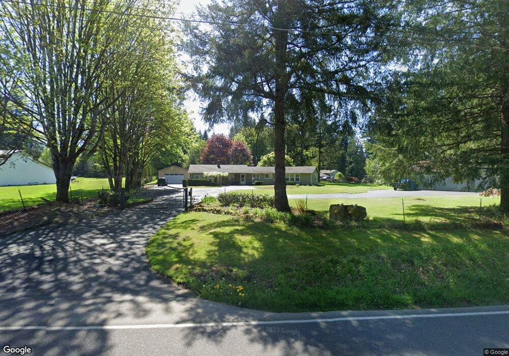
14221 NE Axford Rd Battle Ground, WA 98604
Estimated Value: $811,000 - $902,826
5
Beds
3
Baths
2,691
Sq Ft
$317/Sq Ft
Est. Value
About This Home
This home is located at 14221 NE Axford Rd, Battle Ground, WA 98604 and is currently estimated at $853,207, approximately $317 per square foot. 14221 NE Axford Rd is a home located in Clark County with nearby schools including Captain Strong Primary School, Chief Umtuch Middle School, and Battle Ground High School.
Ownership History
Date
Name
Owned For
Owner Type
Purchase Details
Closed on
Dec 1, 2009
Sold by
Kyllonen James G and Kyllonen Shana M
Bought by
Walsh William and Walsh Dianna
Current Estimated Value
Purchase Details
Closed on
Mar 3, 2004
Sold by
Dunbar Fred D and Dumbar Celia
Bought by
Kyllonen James G and Kyllonen Shana M
Home Financials for this Owner
Home Financials are based on the most recent Mortgage that was taken out on this home.
Original Mortgage
$164,000
Interest Rate
5.99%
Mortgage Type
Purchase Money Mortgage
Create a Home Valuation Report for This Property
The Home Valuation Report is an in-depth analysis detailing your home's value as well as a comparison with similar homes in the area
Home Values in the Area
Average Home Value in this Area
Purchase History
| Date | Buyer | Sale Price | Title Company |
|---|---|---|---|
| Walsh William | $325,000 | Stewart Title | |
| Kyllonen James G | $205,000 | Stewart Title |
Source: Public Records
Mortgage History
| Date | Status | Borrower | Loan Amount |
|---|---|---|---|
| Previous Owner | Kyllonen James G | $164,000 | |
| Closed | Kyllonen James G | $41,000 |
Source: Public Records
Tax History Compared to Growth
Tax History
| Year | Tax Paid | Tax Assessment Tax Assessment Total Assessment is a certain percentage of the fair market value that is determined by local assessors to be the total taxable value of land and additions on the property. | Land | Improvement |
|---|---|---|---|---|
| 2025 | $6,342 | $778,313 | $268,231 | $510,082 |
| 2024 | $5,535 | $763,966 | $268,231 | $495,735 |
| 2023 | $6,185 | $761,387 | $265,872 | $495,515 |
| 2022 | $6,173 | $778,739 | $275,292 | $503,447 |
| 2021 | $6,115 | $677,293 | $235,515 | $441,778 |
| 2020 | $6,010 | $614,025 | $211,649 | $402,376 |
| 2019 | $5,052 | $588,643 | $198,390 | $390,253 |
| 2018 | $5,756 | $567,736 | $0 | $0 |
| 2017 | $5,035 | $492,858 | $0 | $0 |
| 2016 | $4,850 | $470,574 | $0 | $0 |
| 2015 | $4,806 | $415,856 | $0 | $0 |
| 2014 | -- | $389,802 | $0 | $0 |
| 2013 | -- | $348,385 | $0 | $0 |
Source: Public Records
Map
Nearby Homes
- 25009 NE 142nd Ave
- 812 NE 29th Way
- 810 NE 27th St
- 2622 NE 8th Ave
- 402 NE 29th St
- 25600 NE 152nd Ave
- 2133 NE 4th Ave
- 2814 NE 4th Ave
- 2501 NE 7th Dr
- 25113 NE Dublin Rd
- 340 NW 29th St
- 151 NW 30th St
- Cascade Plan at Sterling Ranch
- Cali Plan at Sterling Ranch
- 13915 NE 239th St
- 18 NW 24th St
- 1188 NE 19th St
- 110 NW 24th St
- 16 NW 23rd St
- 1170 NE 18th St
- 14309 NE Axford Rd
- 25217 NE 142nd Ave
- 14316 NE Axford Rd
- 14403 NE Axford Rd
- 14100 NE 254th Cir
- 14101 NE 254th Cir
- 25117 NE 142nd Ave
- 25243 NE 142nd Ave
- 25349 NE 142nd Ave
- 14414 NE Axford Rd
- 25604 NE 145th Ave
- 14020 NE 254th Cir
- 14501 NE Axford Rd
- 14019 NE 254th Cir
- 25606 NE 142nd Ave
- 25033 NE 142nd Ave
- 25405 NE 146th Ave
- 14504 NE Axford Rd
- 14213 NE 257th St
- 25511 NE 146th Ave