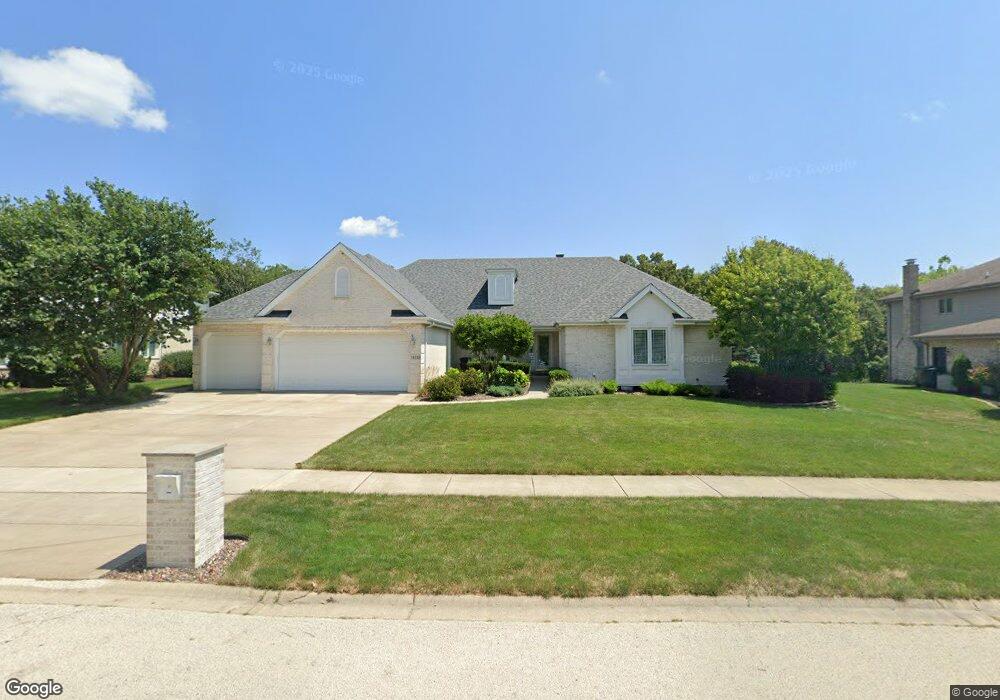
14229 Scott Ln Orland Park, IL 60462
Silver Lake North NeighborhoodEstimated Value: $509,000 - $687,000
4
Beds
3
Baths
2,589
Sq Ft
$225/Sq Ft
Est. Value
About This Home
This home is located at 14229 Scott Ln, Orland Park, IL 60462 and is currently estimated at $582,756, approximately $225 per square foot. 14229 Scott Ln is a home located in Cook County with nearby schools including Prairie Elementary School, Liberty Elementary School, and Jerling Junior High School.
Ownership History
Date
Name
Owned For
Owner Type
Purchase Details
Closed on
Apr 7, 1999
Sold by
Standard Bank & Trust Company
Bought by
Chesniak Peter and Kane Chesniak Eileen M
Current Estimated Value
Home Financials for this Owner
Home Financials are based on the most recent Mortgage that was taken out on this home.
Original Mortgage
$310,000
Interest Rate
7.77%
Mortgage Type
Balloon
Create a Home Valuation Report for This Property
The Home Valuation Report is an in-depth analysis detailing your home's value as well as a comparison with similar homes in the area
Home Values in the Area
Average Home Value in this Area
Purchase History
| Date | Buyer | Sale Price | Title Company |
|---|---|---|---|
| Chesniak Peter | $372,000 | -- |
Source: Public Records
Mortgage History
| Date | Status | Borrower | Loan Amount |
|---|---|---|---|
| Previous Owner | Chesniak Peter | $310,000 |
Source: Public Records
Tax History Compared to Growth
Tax History
| Year | Tax Paid | Tax Assessment Tax Assessment Total Assessment is a certain percentage of the fair market value that is determined by local assessors to be the total taxable value of land and additions on the property. | Land | Improvement |
|---|---|---|---|---|
| 2024 | $10,932 | $47,001 | $12,788 | $34,213 |
| 2023 | $9,959 | $47,001 | $12,788 | $34,213 |
| 2022 | $9,959 | $36,667 | $9,378 | $27,289 |
| 2021 | $9,644 | $36,665 | $9,377 | $27,288 |
| 2020 | $9,346 | $36,665 | $9,377 | $27,288 |
| 2019 | $10,715 | $42,467 | $8,525 | $33,942 |
| 2018 | $10,420 | $42,467 | $8,525 | $33,942 |
| 2017 | $10,200 | $42,467 | $8,525 | $33,942 |
| 2016 | $10,471 | $40,025 | $7,672 | $32,353 |
| 2015 | $10,336 | $40,025 | $7,672 | $32,353 |
| 2014 | $10,198 | $40,025 | $7,672 | $32,353 |
| 2013 | $10,873 | $45,052 | $7,672 | $37,380 |
Source: Public Records
Map
Nearby Homes
- 8005 W 143rd Place
- 14255 Wedgewood Glens Dr
- 8134 Uxbridge Dr
- 14567 S 82nd Ave
- 14023 Chelsea Dr
- 8115 Pluskota Dr
- 8005 Trafalgar Ct
- 7820 Forestview Dr
- 7991 Forestview Dr
- 13458 S Westview Dr Unit V4
- 8608 W 145th St
- 14939 S 81st Ct
- 13623 S 84th Ave
- Richmond Plan at Misty Meadow
- Dartmore Plan at Misty Meadow
- Compton Plan at Misty Meadow
- Beaumont Plan at Misty Meadow
- Barrington Plan at Misty Meadow
- 15024 S 81st Ave
- 14345 S 87th Ave
- 14219 Scott Ln
- 14239 Scott Ln
- 14230 Scott Ln
- 14209 Scott Ln
- 14220 Scott Ln
- 14249 Scott Ln
- 14240 Scott Ln
- 14210 Scott Ln
- 14250 Scott Ln
- 14155 Scott Ln
- 14229 Selva Ln
- 14219 Selva Ln
- 14239 Selva Ln
- 14200 Scott Ln
- 14259 Scott Ln
- 14209 Selva Ln
- 14249 Selva Ln
- 7901 Hastings Dr
- 14159 Selva Ln
- 14150 Scott Ln