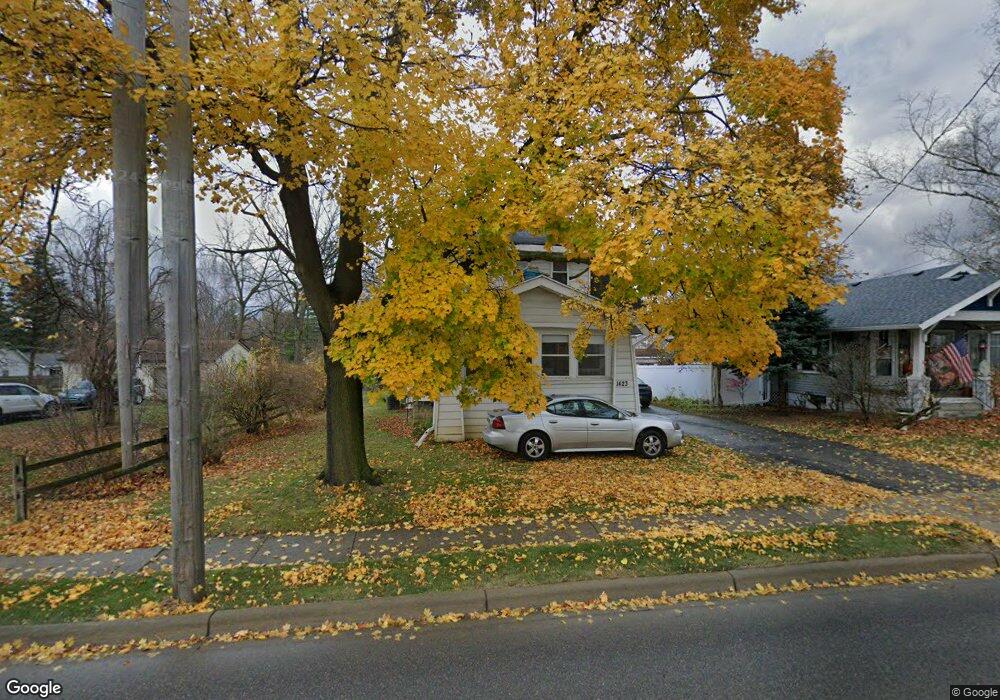
1423 W Main St Owosso, MI 48867
Estimated Value: $121,000 - $144,530
3
Beds
2
Baths
1,312
Sq Ft
$99/Sq Ft
Est. Value
About This Home
This home is located at 1423 W Main St, Owosso, MI 48867 and is currently estimated at $130,383, approximately $99 per square foot. 1423 W Main St is a home located in Shiawassee County with nearby schools including Owosso High School, Salem Lutheran School, and Spring Vale Christian School.
Ownership History
Date
Name
Owned For
Owner Type
Purchase Details
Closed on
Mar 13, 2014
Sold by
Jpmorgan Chase Bank National Association
Bought by
Evanson Daniel J
Current Estimated Value
Home Financials for this Owner
Home Financials are based on the most recent Mortgage that was taken out on this home.
Original Mortgage
$40,816
Outstanding Balance
$30,878
Interest Rate
4.29%
Mortgage Type
New Conventional
Estimated Equity
$99,505
Purchase Details
Closed on
Feb 20, 2013
Sold by
Duffield Christie
Bought by
Jpmorgan Chase Bank Na
Purchase Details
Closed on
Jul 29, 2005
Sold by
Dunkin Sandra J and Estate Of Irving John Holzhaus
Bought by
Hart Lloyd
Home Financials for this Owner
Home Financials are based on the most recent Mortgage that was taken out on this home.
Original Mortgage
$88,200
Interest Rate
9.99%
Mortgage Type
Fannie Mae Freddie Mac
Create a Home Valuation Report for This Property
The Home Valuation Report is an in-depth analysis detailing your home's value as well as a comparison with similar homes in the area
Home Values in the Area
Average Home Value in this Area
Purchase History
| Date | Buyer | Sale Price | Title Company |
|---|---|---|---|
| Evanson Daniel J | $37,500 | -- | |
| Jpmorgan Chase Bank Na | $24,565 | -- | |
| Hart Lloyd | $88,200 | First American Title |
Source: Public Records
Mortgage History
| Date | Status | Borrower | Loan Amount |
|---|---|---|---|
| Open | Evanson Daniel J | $40,816 | |
| Previous Owner | Hart Lloyd | $88,200 |
Source: Public Records
Tax History Compared to Growth
Tax History
| Year | Tax Paid | Tax Assessment Tax Assessment Total Assessment is a certain percentage of the fair market value that is determined by local assessors to be the total taxable value of land and additions on the property. | Land | Improvement |
|---|---|---|---|---|
| 2025 | $1,661 | $59,500 | $0 | $0 |
| 2024 | $1,661 | $54,900 | $0 | $0 |
| 2023 | $1,045 | $48,900 | $0 | $0 |
| 2022 | $1,607 | $43,600 | $0 | $0 |
| 2021 | $1,525 | $40,400 | $0 | $0 |
| 2020 | $1,574 | $37,000 | $0 | $0 |
| 2019 | $1,553 | $33,500 | $0 | $0 |
| 2018 | -- | $33,200 | $0 | $0 |
| 2017 | -- | $32,200 | $0 | $0 |
| 2016 | -- | $32,200 | $0 | $0 |
| 2015 | -- | $32,100 | $0 | $0 |
| 2014 | -- | $31,700 | $0 | $0 |
Source: Public Records
Map
Nearby Homes
- 1408 W Main St
- 117 Elliot St
- 700 Nafus St
- 911 Beehler St
- 717 Nafus St
- 214 S Cedar St
- 817 S Chipman St
- 821 Ryan St
- 618 Clinton St
- 206 N Howell St
- Vacant W Oliver St
- 1339 Olmstead St
- 528 River St
- 214 N Elm St
- 522 River St
- V/L W South (1 6) Acres St
- V/L W South - Lot#11 St
- 523 Fletcher St
- 428 Cass St
- 707 W King St