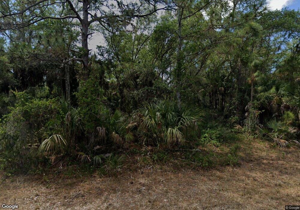
14235 Daniels Ave Other City - In the State of Florida, FL 33953
Northwest Port Charlotte NeighborhoodEstimated Value: $15,799 - $297,000
--
Bed
--
Bath
--
Sq Ft
10,019
Sq Ft Lot
About This Home
This home is located at 14235 Daniels Ave, Other City - In the State of Florida, FL 33953 and is currently estimated at $120,933. 14235 Daniels Ave is a home located in Charlotte County with nearby schools including Liberty Elementary School, Murdock Middle School, and Port Charlotte High School.
Ownership History
Date
Name
Owned For
Owner Type
Purchase Details
Closed on
Oct 21, 2020
Sold by
Gonzalez Roberto
Bought by
Rivera Luis Angel
Current Estimated Value
Purchase Details
Closed on
Nov 17, 2004
Sold by
Tropical Gulf Properties Inc
Bought by
Gonzalez Roberto
Purchase Details
Closed on
Nov 4, 2004
Sold by
Burge Neil and Burge Emma
Bought by
Tropical Gulf Properties Inc
Purchase Details
Closed on
Sep 1, 2004
Sold by
Tropical Gulf Properties Inc
Bought by
Burge Nell and Burge Emma
Purchase Details
Closed on
Mar 9, 2004
Sold by
Vaughan Jerry Eugene
Bought by
Tropical Gulf Properties Inc
Create a Home Valuation Report for This Property
The Home Valuation Report is an in-depth analysis detailing your home's value as well as a comparison with similar homes in the area
Home Values in the Area
Average Home Value in this Area
Purchase History
| Date | Buyer | Sale Price | Title Company |
|---|---|---|---|
| Rivera Luis Angel | -- | Accommodation | |
| Gonzalez Roberto | $15,600 | -- | |
| Tropical Gulf Properties Inc | -- | -- | |
| Burge Nell | $15,000 | -- | |
| Tropical Gulf Properties Inc | $6,000 | Florida Abstract & Security |
Source: Public Records
Tax History Compared to Growth
Tax History
| Year | Tax Paid | Tax Assessment Tax Assessment Total Assessment is a certain percentage of the fair market value that is determined by local assessors to be the total taxable value of land and additions on the property. | Land | Improvement |
|---|---|---|---|---|
| 2024 | $440 | $10,328 | $10,328 | -- |
| 2023 | $440 | $3,456 | $0 | $0 |
| 2022 | $411 | $8,466 | $8,466 | $0 |
| 2021 | $374 | $2,856 | $2,856 | $0 |
| 2020 | $358 | $2,678 | $2,678 | $0 |
| 2019 | $353 | $2,678 | $2,678 | $0 |
| 2018 | $344 | $2,321 | $2,321 | $0 |
| 2017 | $340 | $2,237 | $2,237 | $0 |
| 2016 | $336 | $1,533 | $0 | $0 |
| 2015 | $330 | $1,394 | $0 | $0 |
| 2014 | $228 | $1,384 | $0 | $0 |
Source: Public Records
Map
Nearby Homes
- 14229 Dunlap Ave
- 14221 Dunlap Ave
- 441 Juper St
- 14180 Daniels Ave
- 14217 Chamberlain Blvd
- 14293 Dunlap Ave
- 14165 Daniels Ave
- 408 Juper St
- 400 Juper St
- 544 Berthoud St
- 14009 Daniels Ave
- 14275 Daniels Ave
- 14272 & 14282 Daniels Ave
- 487 Eppinger Dr
- 296 Eppinger Dr
- 368 Ellington St
- 14142 Dunlap Ave
- 14310 Dunlap Ave
- 14300 Dunlap Ave
- 14071 Dunlap Ave
- 486 Ellington St
- 14245 Dunlap Ave
- 14267 Daniels Ave
- 14253 Dunlap Ave
- 440 Juper St
- 14276 Dunlap Ave
- 14250 Chamberlain Blvd
- 14269 Dunlap Ave
- 14283 Daniels Ave
- 14284 Dunlap (Lot 10) Ave
- 14284 Dunlap Ave
- 433 Juper St
- 14193 Dunlap Ave
- 14182 Dunlap Ave
- 14266 Chamberlain Blvd
- 432 Ellington St
- 14290 Daniels Ave
- 1445 Bulger Ave
- 14285 Dunlap Ave
- 425 Juper St