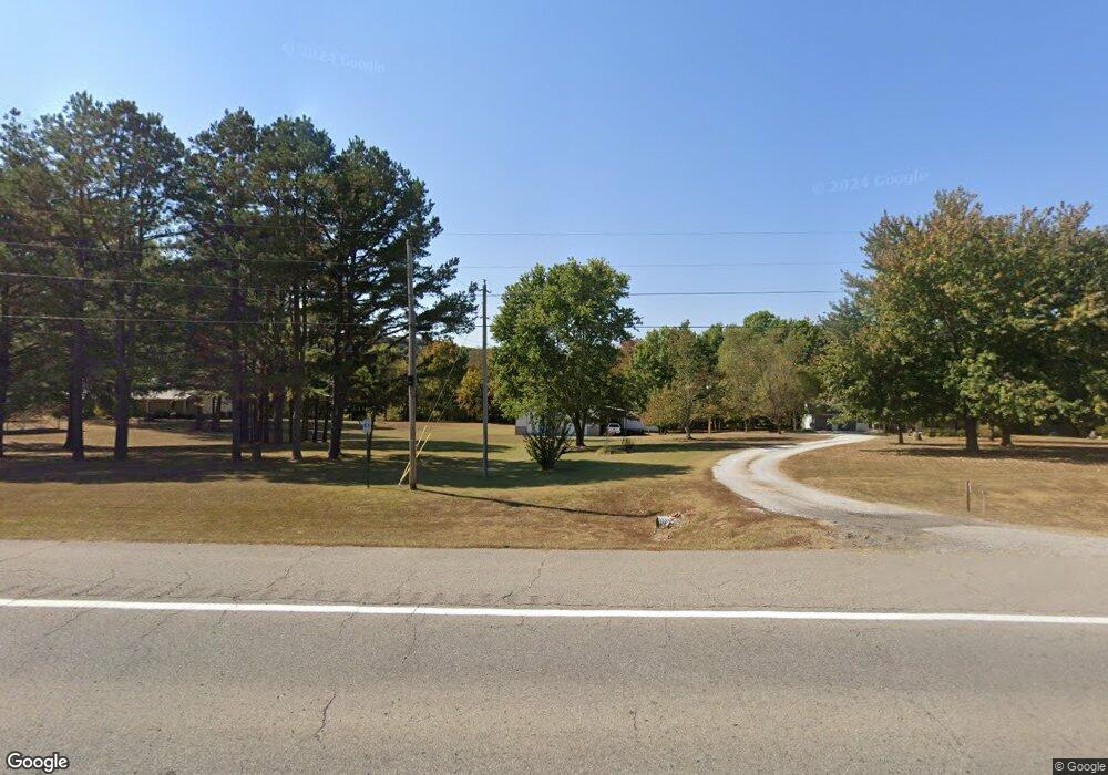
14237 S Highway 71 West Fork, AR 72774
Estimated Value: $279,000 - $409,000
--
Bed
2
Baths
1,838
Sq Ft
$175/Sq Ft
Est. Value
About This Home
This home is located at 14237 S Highway 71, West Fork, AR 72774 and is currently estimated at $320,818, approximately $174 per square foot. 14237 S Highway 71 is a home located in Washington County with nearby schools including West Fork Elementary School, West Fork Middle School, and West Fork High School.
Ownership History
Date
Name
Owned For
Owner Type
Purchase Details
Closed on
Jun 17, 1996
Bought by
Doughty Donald D
Current Estimated Value
Purchase Details
Closed on
Aug 4, 1989
Bought by
Smith Stephen R
Create a Home Valuation Report for This Property
The Home Valuation Report is an in-depth analysis detailing your home's value as well as a comparison with similar homes in the area
Home Values in the Area
Average Home Value in this Area
Purchase History
| Date | Buyer | Sale Price | Title Company |
|---|---|---|---|
| Doughty Donald D | $19,000 | -- | |
| Smith Stephen R | $18,000 | -- |
Source: Public Records
Tax History Compared to Growth
Tax History
| Year | Tax Paid | Tax Assessment Tax Assessment Total Assessment is a certain percentage of the fair market value that is determined by local assessors to be the total taxable value of land and additions on the property. | Land | Improvement |
|---|---|---|---|---|
| 2025 | $1,346 | $46,120 | $8,440 | $37,680 |
| 2024 | $1,361 | $46,120 | $8,440 | $37,680 |
| 2023 | $1,359 | $46,120 | $8,440 | $37,680 |
| 2022 | $1,374 | $36,690 | $6,430 | $30,260 |
| 2021 | $1,300 | $36,690 | $6,430 | $30,260 |
| 2020 | $1,227 | $36,690 | $6,430 | $30,260 |
| 2019 | $1,153 | $30,720 | $5,530 | $25,190 |
| 2018 | $1,178 | $30,720 | $5,530 | $25,190 |
| 2017 | $1,082 | $30,720 | $5,530 | $25,190 |
| 2016 | $1,132 | $30,720 | $5,530 | $25,190 |
| 2015 | $1,082 | $30,720 | $5,530 | $25,190 |
| 2014 | $1,116 | $31,450 | $5,530 | $25,920 |
Source: Public Records
Map
Nearby Homes
- 696 E Thornstone Ave
- 260 Culp Trail
- 222 Rivendale Dr
- 503 Clark Ave
- 497 Clark Ave
- 378 Hidden Creek Place
- Springs 1445 Plan at Rolling Plains
- Eureka 1536 Plan at Rolling Plains
- Oak 1463 Plan at Rolling Plains
- Magnolia 1556 Plan at Rolling Plains
- Ashton 1496 Plan at Rolling Plains
- Ouachita 1669 Plan at Rolling Plains
- Osage 1567 Plan at Rolling Plains
- Maple 1659 Plan at Rolling Plains
- 340 W Smith St
- 393 W Smith St
- 365 W Smith St
- 359 W Smith St
- 339 W Smith St
- 327 W Smith St
- 14237 U S 71
- 14283 S Highway 71
- 14234 S Highway 71
- 14283 U S 71
- 14108 S Highway 71
- 14108 U S 71
- 14274 S Hwy 71
- 948 Mcknight Ave
- 850 Mcknight Ave
- 832 Mcknight Ave
- 14016 S Highway 71
- 14044 S Highway 71
- 945 Mcknight Ave
- 903 Mcknight Ave
- 14274 U S 71
- 6.865 acres Mcknight St
- 794 Mcknight Ave
- 11830 Corley Mountain Rd
- 829 Mcknight Ave
- 790 Mcknight Ave