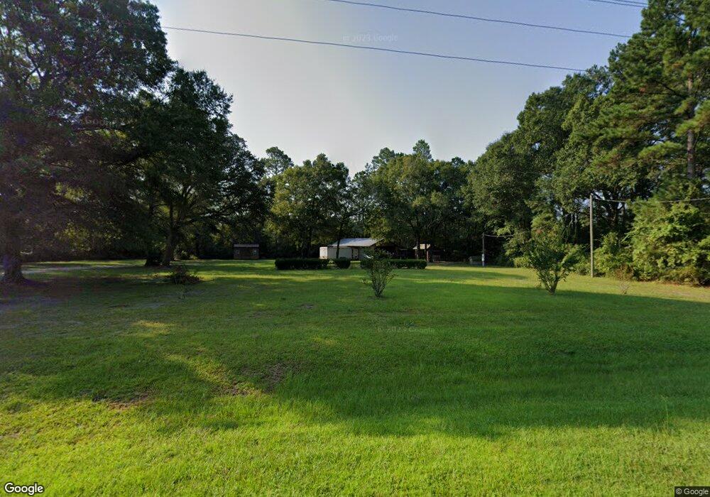
14238 Raybon Rd E Nahunta, GA 31553
Estimated Value: $191,940 - $257,000
3
Beds
2
Baths
1,566
Sq Ft
$148/Sq Ft
Est. Value
About This Home
This home is located at 14238 Raybon Rd E, Nahunta, GA 31553 and is currently estimated at $231,485, approximately $147 per square foot. 14238 Raybon Rd E is a home with nearby schools including Nahunta Primary School, Nahunta Elementary School, and Brantley County Middle School.
Ownership History
Date
Name
Owned For
Owner Type
Purchase Details
Closed on
Feb 8, 2024
Sold by
Moore James C
Bought by
Livesley Joseph John and Livesley Julia Eileen
Current Estimated Value
Purchase Details
Closed on
Oct 5, 2020
Sold by
Brooker Terry Dean
Bought by
Moore James C
Purchase Details
Closed on
Mar 29, 2016
Sold by
Brooker Teresa Lynn
Bought by
Brooker Terry Dean
Purchase Details
Closed on
Sep 18, 2013
Sold by
Santoriello Anthony John
Bought by
Brooker Terry Dean and Brooker Teresa Lynn
Home Financials for this Owner
Home Financials are based on the most recent Mortgage that was taken out on this home.
Original Mortgage
$31,400
Interest Rate
4.57%
Mortgage Type
New Conventional
Purchase Details
Closed on
Apr 8, 2009
Sold by
Ellis John Robert
Bought by
Santoriello Anthony John
Purchase Details
Closed on
Aug 17, 2007
Sold by
Rhoden Richard
Bought by
Ellis John Robert
Create a Home Valuation Report for This Property
The Home Valuation Report is an in-depth analysis detailing your home's value as well as a comparison with similar homes in the area
Purchase History
| Date | Buyer | Sale Price | Title Company |
|---|---|---|---|
| Livesley Joseph John | $45,000 | -- | |
| Moore James C | $57,000 | -- | |
| Brooker Terry Dean | -- | -- | |
| Brooker Terry Dean | $31,500 | -- | |
| Santoriello Anthony John | $60,000 | -- | |
| Ellis John Robert | -- | -- |
Source: Public Records
Mortgage History
| Date | Status | Borrower | Loan Amount |
|---|---|---|---|
| Previous Owner | Brooker Terry Dean | $31,400 |
Source: Public Records
Tax History
| Year | Tax Paid | Tax Assessment Tax Assessment Total Assessment is a certain percentage of the fair market value that is determined by local assessors to be the total taxable value of land and additions on the property. | Land | Improvement |
|---|---|---|---|---|
| 2025 | $2,108 | $62,308 | $3,441 | $58,867 |
| 2024 | $512 | $6,335 | $2,164 | $4,171 |
| 2023 | $806 | $16,173 | $1,967 | $14,206 |
| 2022 | $757 | $14,467 | $1,967 | $12,500 |
| 2021 | $451 | $13,531 | $1,967 | $11,564 |
| 2020 | $398 | $13,377 | $1,967 | $11,410 |
| 2019 | $409 | $13,747 | $1,967 | $11,780 |
| 2018 | $521 | $15,332 | $3,552 | $11,780 |
| 2017 | $521 | $15,332 | $3,552 | $11,780 |
| 2016 | $451 | $14,548 | $3,552 | $10,996 |
| 2015 | -- | $14,548 | $0 | $0 |
Source: Public Records
Map
Nearby Homes
- 14375 U S 301
- 3362 Seed Orchard Rd
- 0 Woodrow Ln
- 4452 Pembers Rd
- 4432 Pembers Rd
- 828 Knox St
- 584 Knox St
- 1365 Ballfield Rd
- 4921 Hwy 301 S Hwy
- 440 Brantley St
- 109 Rainge St
- 255 Spell Landing Rd
- 387 Burton St
- 20.55 ACRES Highway 82
- 154 Avalon St
- 603 Cumberland Rd
- 92 Ervin St
- 4561 Buffalo Creek Dr
- 00 Robin Ln
- 0 Robin Ln
- 14184 Raybon Rd E
- 14184 Raybon Rd E
- 14098 Raybon Rd E
- 14040 Raybon Rd E
- 70 Varnie Trail
- 14119 Raybon Rd E
- 13999 Raybon Rd E
- 400 McDonald Loop
- 382 McDonald Loop
- 13835 Raybon Rd E
- 13929 Raybon Rd E
- 247 Varnie Trail
- 397 McDonald Loop
- 194 Laural Rd
- 14642 Raybon Rd E
- 142 Laural Rd
- 75 Loblolly Ln
- 133 Loblolly Ln
- 14773 Raybon Rd E
- 97 Loblolly Ln
Your Personal Tour Guide
Ask me questions while you tour the home.