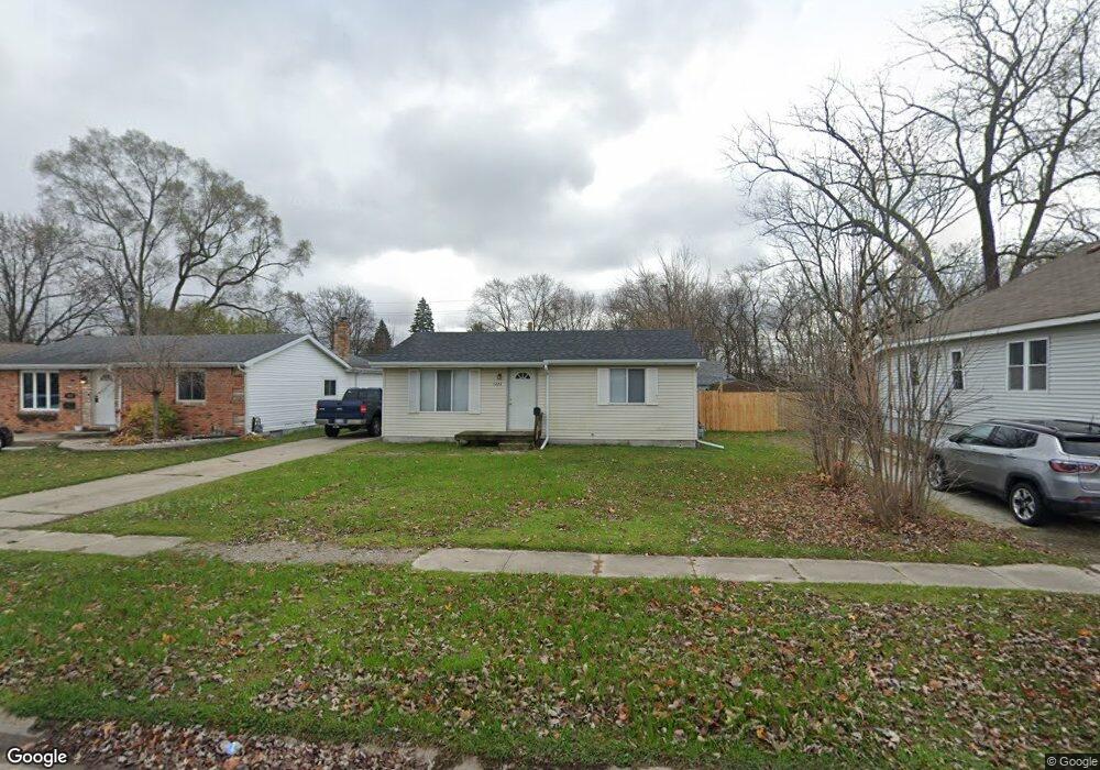
1424 Bancroft St Port Huron, MI 48060
Estimated Value: $68,000 - $110,000
2
Beds
1
Bath
816
Sq Ft
$108/Sq Ft
Est. Value
About This Home
This home is located at 1424 Bancroft St, Port Huron, MI 48060 and is currently estimated at $88,437, approximately $108 per square foot. 1424 Bancroft St is a home located in St. Clair County with nearby schools including Woodrow Wilson Elementary School, Central Middle School, and Port Huron High School.
Ownership History
Date
Name
Owned For
Owner Type
Purchase Details
Closed on
Feb 9, 2022
Sold by
Gerald F Siemen Trust
Bought by
Buchheister Joseph D
Current Estimated Value
Purchase Details
Closed on
Jul 1, 2021
Sold by
Richards Anthony F and Richards Althea D
Bought by
Siemen Gerald F and Siemen Angelia S
Purchase Details
Closed on
May 15, 2014
Sold by
Richards Anthony F and Richards Althea D
Bought by
Althea D Richards Living Trust
Create a Home Valuation Report for This Property
The Home Valuation Report is an in-depth analysis detailing your home's value as well as a comparison with similar homes in the area
Home Values in the Area
Average Home Value in this Area
Purchase History
| Date | Buyer | Sale Price | Title Company |
|---|---|---|---|
| Buchheister Joseph D | -- | None Listed On Document | |
| Siemen Gerald F | $40,000 | None Available | |
| Gerald F Siemen Living Trust | $40,000 | None Listed On Document | |
| Althea D Richards Living Trust | -- | None Available |
Source: Public Records
Tax History Compared to Growth
Tax History
| Year | Tax Paid | Tax Assessment Tax Assessment Total Assessment is a certain percentage of the fair market value that is determined by local assessors to be the total taxable value of land and additions on the property. | Land | Improvement |
|---|---|---|---|---|
| 2025 | $2,127 | $31,400 | $0 | $0 |
| 2024 | $1,855 | $30,300 | $0 | $0 |
| 2023 | $2,211 | $35,000 | $0 | $0 |
| 2022 | $1,316 | $34,200 | $0 | $0 |
| 2021 | $1,257 | $31,000 | $0 | $0 |
| 2020 | $1,262 | $27,400 | $27,400 | $0 |
| 2019 | $1,239 | $19,400 | $0 | $0 |
| 2018 | $1,212 | $19,400 | $0 | $0 |
| 2017 | $1,113 | $18,300 | $0 | $0 |
| 2016 | $983 | $18,300 | $0 | $0 |
| 2015 | $1,018 | $18,200 | $18,200 | $0 |
| 2014 | $1,018 | $18,900 | $18,900 | $0 |
| 2013 | -- | $20,800 | $0 | $0 |
Source: Public Records
Map
Nearby Homes
- 1420 Bancroft St
- 1428 Bancroft St
- 1436 Bancroft St
- 1414 Bancroft St
- 1415 Cypress St
- 1410 Bancroft St
- 1429 Bancroft St
- 1411 Bancroft St
- 1402 Bancroft St
- 1417 Bancroft St
- 1502 Bancroft St
- 1419 Bancroft St
- 1931 15th St
- 1504 Bancroft St
- 1403 Bancroft St
- 1422 Minnie St
- 1513 Bancroft St
- 1412 Minnie St
- 1927 15th St
- 1512 Bancroft St