1424 Cole Ct Vandalia, OH 45377
Estimated Value: $447,000 - $527,000
3
Beds
3
Baths
2,508
Sq Ft
$192/Sq Ft
Est. Value
About This Home
This home is located at 1424 Cole Ct, Vandalia, OH 45377 and is currently estimated at $480,528, approximately $191 per square foot. 1424 Cole Ct is a home located in Montgomery County with nearby schools including Demmitt Elementary School, Smith Middle School, and Butler High School.
Ownership History
Date
Name
Owned For
Owner Type
Purchase Details
Closed on
Sep 17, 2001
Sold by
Newmark Homes Inc
Bought by
Destephen Daniel E and Antolik Martha L
Current Estimated Value
Home Financials for this Owner
Home Financials are based on the most recent Mortgage that was taken out on this home.
Original Mortgage
$240,700
Interest Rate
7.06%
Mortgage Type
Construction
Create a Home Valuation Report for This Property
The Home Valuation Report is an in-depth analysis detailing your home's value as well as a comparison with similar homes in the area
Home Values in the Area
Average Home Value in this Area
Purchase History
| Date | Buyer | Sale Price | Title Company |
|---|---|---|---|
| Destephen Daniel E | $43,900 | -- |
Source: Public Records
Mortgage History
| Date | Status | Borrower | Loan Amount |
|---|---|---|---|
| Previous Owner | Destephen Daniel E | $240,700 |
Source: Public Records
Tax History Compared to Growth
Tax History
| Year | Tax Paid | Tax Assessment Tax Assessment Total Assessment is a certain percentage of the fair market value that is determined by local assessors to be the total taxable value of land and additions on the property. | Land | Improvement |
|---|---|---|---|---|
| 2024 | $7,454 | $143,290 | $21,260 | $122,030 |
| 2023 | $7,454 | $143,290 | $21,260 | $122,030 |
| 2022 | $6,827 | $106,140 | $15,750 | $90,390 |
| 2021 | $6,834 | $106,140 | $15,750 | $90,390 |
| 2020 | $6,813 | $106,140 | $15,750 | $90,390 |
| 2019 | $6,699 | $95,660 | $15,750 | $79,910 |
| 2018 | $6,712 | $95,660 | $15,750 | $79,910 |
| 2017 | $6,661 | $95,660 | $15,750 | $79,910 |
| 2016 | $6,458 | $91,130 | $15,750 | $75,380 |
| 2015 | $6,377 | $91,130 | $15,750 | $75,380 |
| 2014 | $6,377 | $91,130 | $15,750 | $75,380 |
| 2012 | -- | $99,090 | $19,250 | $79,840 |
Source: Public Records
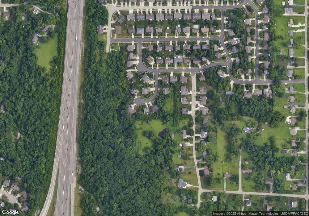
Map
Nearby Homes
- 770 Deer Creek Dr
- 847 Waldsmith Way
- 469 Farrell Rd
- 416 Bent Twig Dr
- 461 Poplar Grove Dr
- 775 Cassel Creek Dr
- 1441 S Dixie Dr
- 827 Foxfire Trail
- 668 Deerhurst Dr
- 612 Bennert Dr
- Fairfax Plan at Foxfire - Maple Street Collection
- Yosemite Plan at Foxfire - Maple Street Collection
- Cumberland Plan at Foxfire - Maple Street Collection
- Jensen Plan at Foxfire - Maple Street Collection
- Beacon Plan at Foxfire - Maple Street Collection
- Wesley Plan at Foxfire - Maple Street Collection
- Breckenridge Plan at Foxfire - Maple Street Collection
- Danville Plan at Foxfire - Maple Street Collection
- DaVinci Plan at Foxfire - Maple Street Collection
- Greenbriar Plan at Foxfire - Maple Street Collection
- 1438 Cole Ct
- 1410 Cole Ct
- 1415 Cole Ct
- 1452 Cole Ct
- 1445 Cole Ct
- 1455 Sagraves Dr
- 1439 Sagraves Dr
- 758 Deer Creek Dr
- 740 Deer Creek Dr
- 1417 Sagraves Dr
- 8401 Sagraves Dr
- 743 Deer Creek Dr
- 734 Deer Creek Dr
- 784 Deer Creek Dr
- 753 Deer Creek Dr
- 745 Deer Creek Dr
- 8379 Sagraves Dr
- 8379 Sagraves Dr
- 763 Deer Creek Dr
- 730 Deer Creek Dr