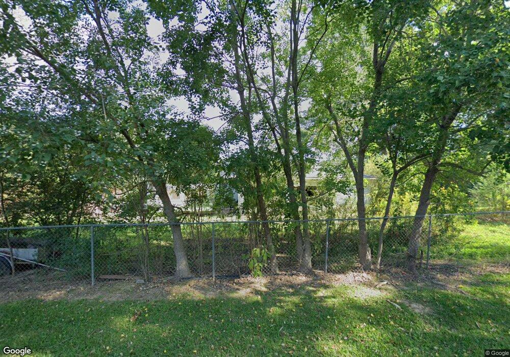
1424 Highway 133 N Crossett, AR 71635
Estimated Value: $67,272 - $192,000
--
Bed
1
Bath
1,280
Sq Ft
$86/Sq Ft
Est. Value
About This Home
This home is located at 1424 Highway 133 N, Crossett, AR 71635 and is currently estimated at $109,818, approximately $85 per square foot. 1424 Highway 133 N is a home located in Ashley County with nearby schools including Crossett Elementary School, Crossett Middle School, and Crossett High School.
Ownership History
Date
Name
Owned For
Owner Type
Purchase Details
Closed on
Dec 23, 1999
Bought by
Hamilton Billy M and Hamilton Betty J
Current Estimated Value
Purchase Details
Closed on
Dec 8, 1999
Bought by
Williams Tonya Lee
Purchase Details
Closed on
Oct 4, 1996
Bought by
Williams Steve Wayne and Tonya Lee
Purchase Details
Closed on
Jul 30, 1992
Bought by
Ozment Gary D and Ozment Pamela S
Purchase Details
Closed on
Dec 15, 1971
Bought by
White Henry C and Martha Jo
Purchase Details
Closed on
Nov 7, 1966
Bought by
Orren Don E and Dorothy Cheatham
Purchase Details
Closed on
Jul 28, 1966
Bought by
Arkansas Development Company Of and Louisiana
Purchase Details
Closed on
Jul 27, 1966
Bought by
Sivils Lloyd R
Purchase Details
Closed on
Sep 23, 1965
Bought by
Arkansas Development Company Of
Purchase Details
Closed on
Mar 31, 1965
Bought by
Middleton Construction Company Inc
Create a Home Valuation Report for This Property
The Home Valuation Report is an in-depth analysis detailing your home's value as well as a comparison with similar homes in the area
Home Values in the Area
Average Home Value in this Area
Purchase History
| Date | Buyer | Sale Price | Title Company |
|---|---|---|---|
| Hamilton Billy M | $41,000 | -- | |
| Williams Tonya Lee | -- | -- | |
| Williams Steve Wayne | $32,000 | -- | |
| Ozment Gary D | $34,000 | -- | |
| White Henry C | -- | -- | |
| Orren Don E | -- | -- | |
| Arkansas Development Company Of | -- | -- | |
| Sivils Lloyd R | -- | -- | |
| Arkansas Development Company Of | -- | -- | |
| Middleton Construction Company Inc | -- | -- |
Source: Public Records
Tax History Compared to Growth
Tax History
| Year | Tax Paid | Tax Assessment Tax Assessment Total Assessment is a certain percentage of the fair market value that is determined by local assessors to be the total taxable value of land and additions on the property. | Land | Improvement |
|---|---|---|---|---|
| 2025 | -- | $11,810 | $1,060 | $10,750 |
| 2024 | -- | $11,810 | $1,060 | $10,750 |
| 2023 | $0 | $11,810 | $1,060 | $10,750 |
| 2022 | $42 | $7,830 | $790 | $7,040 |
| 2021 | $127 | $7,830 | $790 | $7,040 |
| 2020 | $63 | $7,830 | $790 | $7,040 |
| 2019 | $63 | $7,830 | $790 | $7,040 |
| 2018 | $63 | $7,830 | $790 | $7,040 |
| 2017 | $8 | $7,570 | $660 | $6,910 |
| 2016 | -- | $7,570 | $660 | $6,910 |
| 2015 | -- | $7,570 | $660 | $6,910 |
| 2014 | -- | $7,570 | $660 | $6,910 |
Source: Public Records
Map
Nearby Homes
- 1430 Highway 133 N
- 1418 Highway 133 N
- 113 Campbell Dr
- 1438 Highway 133 N
- 1425 Highway 133 N
- 439 Binns Loop
- 115 Campbell Dr
- 115 Campbell Dr
- 435 Binns Loop
- 431 Binns Loop
- 121 Campbell Dr
- 1406 Highway 133 N
- 427 Binns Loop
- 1446 Highway 133 N
- 1402 Highway 133 N
- 423 Binns Loop
- 129 Campbell Dr
- 428 Binns Loop
- 426 Binns Loop
- 1397 Highway 133 N