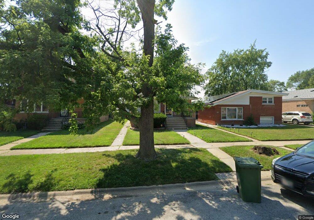
14242 Ingleside Ave Dolton, IL 60419
Estimated Value: $156,000 - $199,000
3
Beds
2
Baths
1,095
Sq Ft
$163/Sq Ft
Est. Value
About This Home
This home is located at 14242 Ingleside Ave, Dolton, IL 60419 and is currently estimated at $178,669, approximately $163 per square foot. 14242 Ingleside Ave is a home located in Cook County with nearby schools including Lincoln Elementary School, Lincoln Junior High School, and Thornridge High School.
Ownership History
Date
Name
Owned For
Owner Type
Purchase Details
Closed on
Sep 14, 2020
Sold by
The Estate Of Wallace L Williams
Bought by
Williams Ms Tia
Current Estimated Value
Purchase Details
Closed on
Jan 31, 1996
Sold by
Bruno Arlene F and Sabodor Walter R
Bought by
Williams Wallace L
Home Financials for this Owner
Home Financials are based on the most recent Mortgage that was taken out on this home.
Original Mortgage
$72,802
Outstanding Balance
$487
Interest Rate
7.11%
Mortgage Type
FHA
Estimated Equity
$178,182
Create a Home Valuation Report for This Property
The Home Valuation Report is an in-depth analysis detailing your home's value as well as a comparison with similar homes in the area
Home Values in the Area
Average Home Value in this Area
Purchase History
| Date | Buyer | Sale Price | Title Company |
|---|---|---|---|
| Williams Ms Tia | -- | Attorney | |
| Williams Wallace L | $73,000 | Attorneys Title Guaranty Fun |
Source: Public Records
Mortgage History
| Date | Status | Borrower | Loan Amount |
|---|---|---|---|
| Open | Williams Wallace L | $72,802 |
Source: Public Records
Tax History
| Year | Tax Paid | Tax Assessment Tax Assessment Total Assessment is a certain percentage of the fair market value that is determined by local assessors to be the total taxable value of land and additions on the property. | Land | Improvement |
|---|---|---|---|---|
| 2025 | $6,370 | $13,000 | $2,108 | $10,892 |
| 2024 | $6,370 | $13,000 | $2,108 | $10,892 |
| 2023 | $4,901 | $13,000 | $2,108 | $10,892 |
| 2022 | $4,901 | $9,199 | $1,860 | $7,339 |
| 2021 | $4,918 | $9,198 | $1,860 | $7,338 |
| 2020 | $4,829 | $9,198 | $1,860 | $7,338 |
| 2019 | $2,969 | $6,817 | $1,736 | $5,081 |
| 2018 | $2,875 | $6,817 | $1,736 | $5,081 |
| 2017 | $2,754 | $6,817 | $1,736 | $5,081 |
| 2016 | $2,683 | $6,156 | $1,612 | $4,544 |
| 2015 | $2,511 | $6,156 | $1,612 | $4,544 |
| 2014 | $2,514 | $6,868 | $1,612 | $5,256 |
| 2013 | $2,777 | $6,912 | $1,612 | $5,300 |
Source: Public Records
Map
Nearby Homes
- 14234 Ingleside Ave
- 14208 Ingleside Ave
- 14200 Drexel Ave
- 14325 Ingleside Ave
- 14201 Maryland Ave
- 14341 Drexel Ave
- 14315 Dobson Ave
- 14234 Minerva Ave
- 14214 Minerva Ave
- 14418 Drexel Ave
- 14223 University Ave
- 14408 Lincoln Ave
- 14341 University Ave
- 14227 Woodlawn Ave
- 1107 E 145th St
- 14525 Dobson Ave
- 14405 Woodlawn Ave
- 14500 Van Buren St
- 14263 Lincoln Ave
- 14526 Cottage Grove Ave
- 14238 Ingleside Ave
- 14244 Ingleside Ave
- 14248 Ingleside Ave
- 14232 Ingleside Ave
- 14243 Drexel Ave
- 14239 Drexel Ave
- 14245 Drexel Ave
- 14228 Ingleside Ave
- 14235 Drexel Ave
- 14249 Drexel Ave
- 14233 Drexel Ave
- 14243 Ingleside Ave
- 14300 Ingleside Ave
- 14245 Ingleside Ave
- 14239 Ingleside Ave
- 14226 Ingleside Ave
- 14235 Ingleside Ave
- 14249 Ingleside Ave
- 14229 Drexel Ave
- 14233 Ingleside Ave
Your Personal Tour Guide
Ask me questions while you tour the home.