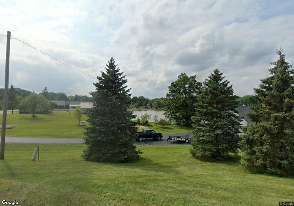
14249 W Diane Dr Camden, MI 49232
Estimated Value: $391,000 - $487,000
3
Beds
1
Bath
2,344
Sq Ft
$180/Sq Ft
Est. Value
About This Home
This home is located at 14249 W Diane Dr, Camden, MI 49232 and is currently estimated at $421,745, approximately $179 per square foot. 14249 W Diane Dr is a home located in Hillsdale County with nearby schools including Camden-Frontier K-8 School and Camden-Frontier High School.
Ownership History
Date
Name
Owned For
Owner Type
Purchase Details
Closed on
Jul 2, 2008
Sold by
Oakley Michael C and Yaccick Oakley Lynn
Bought by
Skaff Michael C and Skaff Elizabeth K
Current Estimated Value
Home Financials for this Owner
Home Financials are based on the most recent Mortgage that was taken out on this home.
Original Mortgage
$120,000
Outstanding Balance
$77,533
Interest Rate
6.1%
Mortgage Type
Purchase Money Mortgage
Estimated Equity
$344,212
Purchase Details
Closed on
Aug 15, 2003
Sold by
Fenton Richard M and Fenton Sheila M
Bought by
Oakley Michael C and Oakley Lynn M
Purchase Details
Closed on
May 10, 1984
Bought by
Fenton Richard and Fenton Shelia
Create a Home Valuation Report for This Property
The Home Valuation Report is an in-depth analysis detailing your home's value as well as a comparison with similar homes in the area
Home Values in the Area
Average Home Value in this Area
Purchase History
| Date | Buyer | Sale Price | Title Company |
|---|---|---|---|
| Skaff Michael C | $174,000 | Public Title Agency | |
| Oakley Michael C | $43,000 | -- | |
| Fenton Richard | $600 | -- |
Source: Public Records
Mortgage History
| Date | Status | Borrower | Loan Amount |
|---|---|---|---|
| Open | Skaff Michael C | $120,000 |
Source: Public Records
Tax History Compared to Growth
Tax History
| Year | Tax Paid | Tax Assessment Tax Assessment Total Assessment is a certain percentage of the fair market value that is determined by local assessors to be the total taxable value of land and additions on the property. | Land | Improvement |
|---|---|---|---|---|
| 2025 | $5,368 | $183,000 | $0 | $0 |
| 2024 | $1,308 | $171,100 | $0 | $0 |
| 2023 | $1,247 | $145,600 | $0 | $0 |
| 2022 | $5,034 | $124,800 | $0 | $0 |
| 2021 | $4,900 | $112,000 | $0 | $0 |
| 2020 | $4,908 | $111,700 | $0 | $0 |
| 2019 | $4,730 | $106,300 | $0 | $0 |
| 2018 | $4,574 | $101,700 | $0 | $0 |
| 2017 | $4,410 | $101,470 | $0 | $0 |
| 2016 | $4,374 | $98,620 | $0 | $0 |
| 2015 | $1,050 | $98,620 | $0 | $0 |
| 2013 | $1,029 | $95,110 | $0 | $0 |
| 2012 | $1,005 | $91,770 | $0 | $0 |
Source: Public Records
Map
Nearby Homes
- 14600 W Diane Dr
- 14401 Woodbridge Rd
- 13857 E Diane Dr
- 13791 E Diane Dr
- 14934 Heather Ct
- 13551 Hillsdale Rd
- 623-624 Yuma Trail
- 362 Wasco Trail
- 0 W Territorial Rd Unit 25043960
- 199 Shoshone Trail
- 988-989 Seneca Dr
- 207 Modoc Trail
- 155 Navajo Trail
- 8800 W Territorial Rd
- 213 Navajo Trail
- 11794 Clark Rd
- 600 Seneca Dr
- 0 Seneca Dr
- 15791 Rice Rd
- 234 Seneca Dr
- 14251 W Diane Dr
- 14242 W Diane Dr
- 14238 W Diane Dr
- 14234 W Diane Dr
- 14248 W Diane Dr
- 14263 W Diane Dr
- 14228 W Diane Dr
- 14271 W Diane Dr
- 14222 W Diane Dr
- 14279 W Diane Dr
- 14420 Horn Dr
- 14272 W Diane Dr
- 14218 W Diane Dr
- 14287 W Diane Dr
- 14214 W Diane Dr
- 14284 W Diane Dr
- 14323 W Diane Dr
- 14293 Horn Dr
- 14206 W Diane Dr
- 14303 W Diane Dr