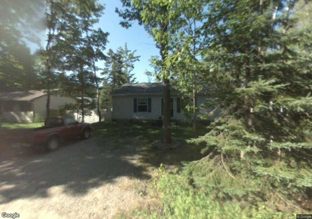
1426 Charwood Cir Unit W Sault Sainte Marie, MI 49783
Estimated Value: $243,338 - $354,000
3
Beds
2
Baths
1,484
Sq Ft
$186/Sq Ft
Est. Value
About This Home
This home is located at 1426 Charwood Cir Unit W, Sault Sainte Marie, MI 49783 and is currently estimated at $276,585, approximately $186 per square foot. 1426 Charwood Cir Unit W is a home located in Chippewa County with nearby schools including Sault Area Middle School, Sault Area High School, and Joseph K. Lumsden Bahweting Anishnabe Academy.
Ownership History
Date
Name
Owned For
Owner Type
Purchase Details
Closed on
Apr 27, 2007
Sold by
Fannie Mae
Bought by
Greene Steven and Greene Wendi
Current Estimated Value
Home Financials for this Owner
Home Financials are based on the most recent Mortgage that was taken out on this home.
Original Mortgage
$127,357
Outstanding Balance
$77,594
Interest Rate
6.2%
Mortgage Type
Purchase Money Mortgage
Estimated Equity
$198,991
Purchase Details
Closed on
Aug 4, 2006
Sold by
Chippewa County
Bought by
Federal National Mortgage Association
Create a Home Valuation Report for This Property
The Home Valuation Report is an in-depth analysis detailing your home's value as well as a comparison with similar homes in the area
Home Values in the Area
Average Home Value in this Area
Purchase History
| Date | Buyer | Sale Price | Title Company |
|---|---|---|---|
| Greene Steven | $125,000 | -- | |
| Federal National Mortgage Association | $152,447 | -- |
Source: Public Records
Mortgage History
| Date | Status | Borrower | Loan Amount |
|---|---|---|---|
| Open | Greene Steven | $127,357 |
Source: Public Records
Tax History Compared to Growth
Tax History
| Year | Tax Paid | Tax Assessment Tax Assessment Total Assessment is a certain percentage of the fair market value that is determined by local assessors to be the total taxable value of land and additions on the property. | Land | Improvement |
|---|---|---|---|---|
| 2025 | $3,164 | $113,200 | $0 | $0 |
| 2024 | $969 | $99,500 | $0 | $0 |
| 2023 | $877 | $86,600 | $0 | $0 |
| 2022 | $877 | $80,200 | $0 | $0 |
| 2021 | $1,516 | $70,100 | $0 | $0 |
| 2020 | $1,506 | $70,200 | $0 | $0 |
| 2019 | $1,492 | $70,800 | $0 | $0 |
| 2018 | $825 | $67,900 | $0 | $0 |
| 2017 | $823 | $67,700 | $0 | $0 |
| 2016 | $826 | $68,000 | $0 | $0 |
| 2011 | $805 | $65,600 | $0 | $0 |
Source: Public Records
Map
Nearby Homes
- 3546 S Radar Rd
- 3438 S Reynolds Ln
- 3601 S Radar Rd
- 1605 S Mulligan Row
- 1605 S Mulligan Row Unit 1605
- 647 W Ford Dr
- 647 W Ford Dr Unit 647
- 4538 S Baker Side Rd
- 3805 I 75 Business Spur
- 0 W 24th St
- 2550 W 14th St
- 0 W 24th Ave
- 0000 W 11th Ave
- 0000 W 11th Ave
- 00 W 16th Ave
- 1811 Chestnut St
- 123 25th Ave E
- 2245 W 5th Ave
- 305 Rapids Dr
- 307 Rapids Dr
- 1470 Charwood Cir Unit W
- 1410 Charwood Cir Unit W
- 1410 Charwood Cir Unit W
- 1406 Charwood Cir Unit W
- 1446 Charwood Cir Unit W
- 1350 Charwood Cir Unit W
- 1407 Charwood Cir Unit W
- 1359 Charwood Cir Unit W
- 1327 Charwood Cir Unit W
- 1335 Charwood Cir Unit W
- 1365 Charwood Cir Unit W
- 1385 Charwood Cir Unit W
- 1407 Charwood Cir Unit W
- 1365 Charwood Cir
- 1410 Charwood Cir
- 3501 William Harwood Rd
- 3521 William Harwood Rd
- 3541 William Harwood Rd
- 3565 William Harwood Rd
- 3585 William Harwood Rd