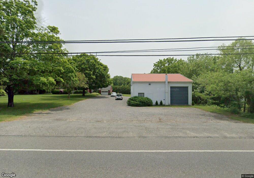
1426 State Highway 45 Swedesboro, NJ 08085
Estimated Value: $351,000 - $541,000
--
Bed
--
Bath
1,930
Sq Ft
$238/Sq Ft
Est. Value
About This Home
This home is located at 1426 State Highway 45, Swedesboro, NJ 08085 and is currently estimated at $458,732, approximately $237 per square foot. 1426 State Highway 45 is a home located in Gloucester County with nearby schools including South Harrison Township Elementary School, Kingsway Regional Middle School, and Kingsway Reg High School.
Ownership History
Date
Name
Owned For
Owner Type
Purchase Details
Closed on
Mar 24, 2010
Sold by
Anderson John C and Anderson Sandy
Bought by
Anderson John C and Anderson Sandra
Current Estimated Value
Home Financials for this Owner
Home Financials are based on the most recent Mortgage that was taken out on this home.
Original Mortgage
$246,000
Outstanding Balance
$164,180
Interest Rate
5.12%
Mortgage Type
New Conventional
Estimated Equity
$294,552
Purchase Details
Closed on
Feb 28, 2002
Sold by
Arnold Janice M
Bought by
Anderson John C and Anderson Sandy
Home Financials for this Owner
Home Financials are based on the most recent Mortgage that was taken out on this home.
Original Mortgage
$188,000
Interest Rate
6.91%
Mortgage Type
Purchase Money Mortgage
Create a Home Valuation Report for This Property
The Home Valuation Report is an in-depth analysis detailing your home's value as well as a comparison with similar homes in the area
Home Values in the Area
Average Home Value in this Area
Purchase History
| Date | Buyer | Sale Price | Title Company |
|---|---|---|---|
| Anderson John C | -- | First American Title Ins Co | |
| Anderson John C | $235,000 | -- |
Source: Public Records
Mortgage History
| Date | Status | Borrower | Loan Amount |
|---|---|---|---|
| Open | Anderson John C | $246,000 | |
| Closed | Anderson John C | $188,000 |
Source: Public Records
Tax History Compared to Growth
Tax History
| Year | Tax Paid | Tax Assessment Tax Assessment Total Assessment is a certain percentage of the fair market value that is determined by local assessors to be the total taxable value of land and additions on the property. | Land | Improvement |
|---|---|---|---|---|
| 2025 | $7,776 | $253,200 | $109,800 | $143,400 |
| 2024 | $7,652 | $253,200 | $109,800 | $143,400 |
| 2023 | $7,652 | $253,200 | $109,800 | $143,400 |
| 2022 | $7,464 | $253,200 | $109,800 | $143,400 |
| 2021 | $7,409 | $253,200 | $109,800 | $143,400 |
| 2020 | $7,376 | $253,200 | $109,800 | $143,400 |
| 2019 | $7,477 | $253,200 | $109,800 | $143,400 |
| 2018 | $7,363 | $253,200 | $109,800 | $143,400 |
| 2017 | $7,254 | $253,200 | $109,800 | $143,400 |
| 2016 | $7,181 | $253,200 | $109,800 | $143,400 |
| 2015 | $7,135 | $253,200 | $109,800 | $143,400 |
| 2014 | $6,829 | $253,200 | $109,800 | $143,400 |
Source: Public Records
Map
Nearby Homes
- 673 Harrisonville Rd
- 801 Eldridges Hill Rd
- 8 Lake St
- 104 Danton Ln
- 31 Maple Ave
- 663 Tomlin Station Rd
- 34 Main St
- 0 Woodstown Rd Unit NJSA2016854
- 555 Woodstown Rd
- 230 Point Airy Rd
- 24 Fox Haven Ln
- 646 Lincoln Rd
- 490 Franklinville Rd
- 197 Cedar Grove Rd
- 713 Franklinville Rd
- 812 Lincoln Rd
- 465 Tomlin Station Rd
- 510 Franklinville Rd
- 96 Kingsberry Ln
- 73 Kingsberry Ln
- 1416 State Highway 45
- 1416 State Highway 45
- 1424 State Highway 45
- 1428 State Highway 45
- 116 Marl Rd
- 116 Marl Rd
- 1420 State Highway 45
- 1420 New Jersey 45
- 1412 State Highway 45
- 1412 State Highway 45
- 006 Route 45
- 1408 Route 45
- 1408 State Highway 45
- 2 Ashford Ct
- 34 Ashford Ct
- 35 Ashford Ct
- 1 Ashford Ct
- 1 Ashford Ct
- 1414 State Highway 45
- 10 Ashford Ct