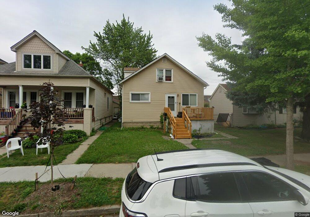
14263 Robertson St Dearborn, MI 48126
Schaefer-Greenfield NeighborhoodEstimated Value: $176,000 - $278,000
3
Beds
2
Baths
1,500
Sq Ft
$148/Sq Ft
Est. Value
About This Home
This home is located at 14263 Robertson St, Dearborn, MI 48126 and is currently estimated at $222,619, approximately $148 per square foot. 14263 Robertson St is a home located in Wayne County with nearby schools including Geer Park Elementary School, Stout Middle School, and Fordson High School.
Ownership History
Date
Name
Owned For
Owner Type
Purchase Details
Closed on
Jul 11, 2018
Sold by
Mohamed Zayad
Bought by
Al Hababi Yahya Ahmed Mohammed and Mohamed Mageada
Current Estimated Value
Purchase Details
Closed on
Sep 4, 2007
Sold by
Mortgage Electronic Registration Systems
Bought by
Us Bank Na and Holders Of Bear Stearns Asset Backed Sec
Purchase Details
Closed on
Aug 29, 2007
Sold by
Higgins Jamie
Bought by
Mortgage Electronic Registration Systems
Purchase Details
Closed on
Aug 8, 2005
Sold by
Philpot Thomas E and Philpot Jeanne
Bought by
Higgins Jamie
Create a Home Valuation Report for This Property
The Home Valuation Report is an in-depth analysis detailing your home's value as well as a comparison with similar homes in the area
Home Values in the Area
Average Home Value in this Area
Purchase History
| Date | Buyer | Sale Price | Title Company |
|---|---|---|---|
| Al Hababi Yahya Ahmed Mohammed | $55,000 | None Available | |
| Us Bank Na | -- | None Available | |
| Mortgage Electronic Registration Systems | $86,088 | None Available | |
| Higgins Jamie | $100,000 | Lts Title Agency |
Source: Public Records
Tax History
| Year | Tax Paid | Tax Assessment Tax Assessment Total Assessment is a certain percentage of the fair market value that is determined by local assessors to be the total taxable value of land and additions on the property. | Land | Improvement |
|---|---|---|---|---|
| 2025 | $2,180 | $78,500 | $0 | $0 |
| 2024 | $2,195 | $85,000 | $0 | $0 |
| 2023 | $1,952 | $78,700 | $0 | $0 |
| 2022 | $2,247 | $58,500 | $0 | $0 |
| 2021 | $2,303 | $52,300 | $0 | $0 |
| 2019 | $2,408 | $41,700 | $0 | $0 |
| 2018 | $1,913 | $36,700 | $0 | $0 |
| 2017 | $464 | $35,500 | $0 | $0 |
| 2016 | $1,647 | $38,100 | $0 | $0 |
| 2015 | $2,860 | $30,950 | $0 | $0 |
| 2013 | $2,815 | $28,150 | $0 | $0 |
| 2011 | -- | $33,100 | $0 | $0 |
Source: Public Records
Map
Nearby Homes
- 14203 Barclay St
- 7 Georgetown Ct
- 4215 Schaefer Rd
- 4236 Schaefer Rd Unit 4
- 4913 Middlesex St
- 4315 Bingham St
- 7800 Schaefer Rd
- 5003 Middlesex St
- 4051 Lapham St
- 4200 Lois St
- 4342 Lois St
- 4616 Chovin St
- 4835 Chovin St
- 5059 Hartwell St
- 5444 Kenilworth St
- 4836 Firestone St
- 5430 Kendal St
- 5424 Bingham St
- 5411 Reuter St
- 5510 Bingham St
- 14257 Robertson St
- 14269 Robertson St
- 14251 Robertson St
- 14280 Barclay St
- 14268 Barclay St
- 14233 Robertson St
- 14262 Barclay St
- 14254 Barclay St
- 14301 Robertson St
- 14227 Robertson St
- 14257 Lithgow St
- 14310 Barclay St
- 14244 Robertson St
- 14247 Lithgow St
- 14316 Barclay St
- 14232 Robertson St
- 14221 Robertson St
- 14246 Barclay St
- 14275 Lithgow St
- 14238 Barclay St
Your Personal Tour Guide
Ask me questions while you tour the home.