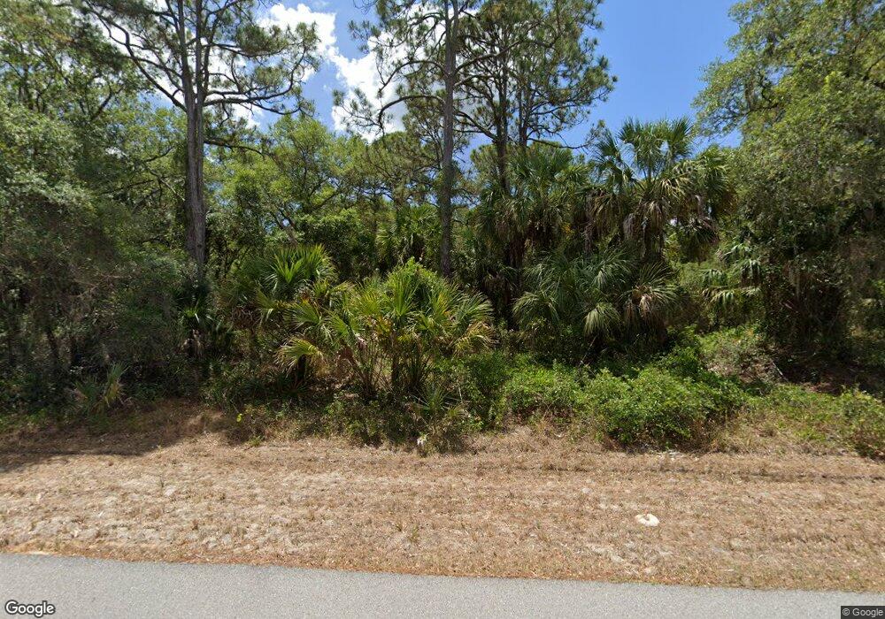
14269 Dunlap Ave Port Charlotte, FL 33953
Northwest Port Charlotte NeighborhoodEstimated Value: $312,404 - $410,000
4
Beds
2
Baths
1,833
Sq Ft
$194/Sq Ft
Est. Value
About This Home
This home is located at 14269 Dunlap Ave, Port Charlotte, FL 33953 and is currently estimated at $355,351, approximately $193 per square foot. 14269 Dunlap Ave is a home located in Charlotte County with nearby schools including Liberty Elementary School, Murdock Middle School, and Port Charlotte High School.
Ownership History
Date
Name
Owned For
Owner Type
Purchase Details
Closed on
Dec 18, 2023
Sold by
Sfr Holdings I Llc
Bought by
Second Avenue Sfr Hldg Iii Llc
Current Estimated Value
Home Financials for this Owner
Home Financials are based on the most recent Mortgage that was taken out on this home.
Original Mortgage
$4,116,000
Outstanding Balance
$4,046,890
Interest Rate
7.44%
Mortgage Type
New Conventional
Estimated Equity
-$3,691,539
Purchase Details
Closed on
Dec 14, 2021
Sold by
Second Avenue Sfr Holdings Ii Llc
Bought by
Second Avenue Sfr Holdings I Llc
Purchase Details
Closed on
Sep 23, 2021
Sold by
Buliders Grade Llc
Bought by
Sfr Holdings Ii Llc
Purchase Details
Closed on
Jan 25, 2005
Sold by
Schlodinski Elsa
Bought by
Florida Econoland Specialist Inc
Create a Home Valuation Report for This Property
The Home Valuation Report is an in-depth analysis detailing your home's value as well as a comparison with similar homes in the area
Home Values in the Area
Average Home Value in this Area
Purchase History
| Date | Buyer | Sale Price | Title Company |
|---|---|---|---|
| Second Avenue Sfr Hldg Iii Llc | $100 | Stewart Title | |
| Second Avenue Sfr Holdings I Llc | $15,300 | Esquire Title & Escrow | |
| Sfr Holdings Ii Llc | $14,000 | Title & Abstract Agcy Of Ame | |
| Florida Econoland Specialist Inc | $17,900 | Gulf Breeze Title Insurance |
Source: Public Records
Mortgage History
| Date | Status | Borrower | Loan Amount |
|---|---|---|---|
| Open | Second Avenue Sfr Hldg Iii Llc | $4,116,000 |
Source: Public Records
Tax History Compared to Growth
Tax History
| Year | Tax Paid | Tax Assessment Tax Assessment Total Assessment is a certain percentage of the fair market value that is determined by local assessors to be the total taxable value of land and additions on the property. | Land | Improvement |
|---|---|---|---|---|
| 2024 | $520 | $271,103 | $11,475 | $259,628 |
| 2023 | $520 | $11,688 | $11,688 | $0 |
| 2022 | $489 | $10,200 | $10,200 | $0 |
| 2021 | $385 | $3,570 | $3,570 | $0 |
| 2020 | $377 | $3,570 | $3,570 | $0 |
| 2019 | $375 | $3,570 | $3,570 | $0 |
| 2018 | $365 | $3,315 | $3,315 | $0 |
| 2017 | $361 | $3,196 | $3,196 | $0 |
| 2016 | $357 | $3,060 | $0 | $0 |
| 2015 | $353 | $2,788 | $0 | $0 |
| 2014 | $252 | $2,768 | $0 | $0 |
Source: Public Records
Map
Nearby Homes
- 14293 Dunlap Ave
- 14229 Dunlap Ave
- 14221 Dunlap Ave
- 14217 Chamberlain Blvd
- 544 Berthoud St
- 487 Eppinger Dr
- 296 Eppinger Dr
- 1020 Eppinger Dr
- 1052 Eppinger Dr
- 441 Juper St
- 1044 Biscayne Dr
- 14180 Daniels Ave
- 14165 Daniels Ave
- 408 Juper St
- 14396 Chamberlain Blvd
- 400 Juper St
- 951 Clearview Dr
- 13343 Chamberlain Blvd
- 14009 Daniels Ave
- 14275 Daniels Ave
- 14266 Chamberlain Blvd
- 14285 Dunlap Ave
- 14253 Dunlap Ave
- 14276 Dunlap Ave
- 14250 Chamberlain Blvd
- 14284 Dunlap (Lot 10) Ave
- 14284 Dunlap Ave
- 14245 Dunlap Ave
- 14267 Daniels Ave
- 1445 Bulger Ave
- 14283 Daniels Ave
- 14254 Cain Ave
- 14270 Cain Ave
- 14235 Daniels Ave
- 14316 Chamberlain Blvd
- 1027 Berthoud St
- 14225 Chamberlain Blvd
- 1010 Berthoud St
- 14290 Daniels Ave
- 1018 Berthoud St
