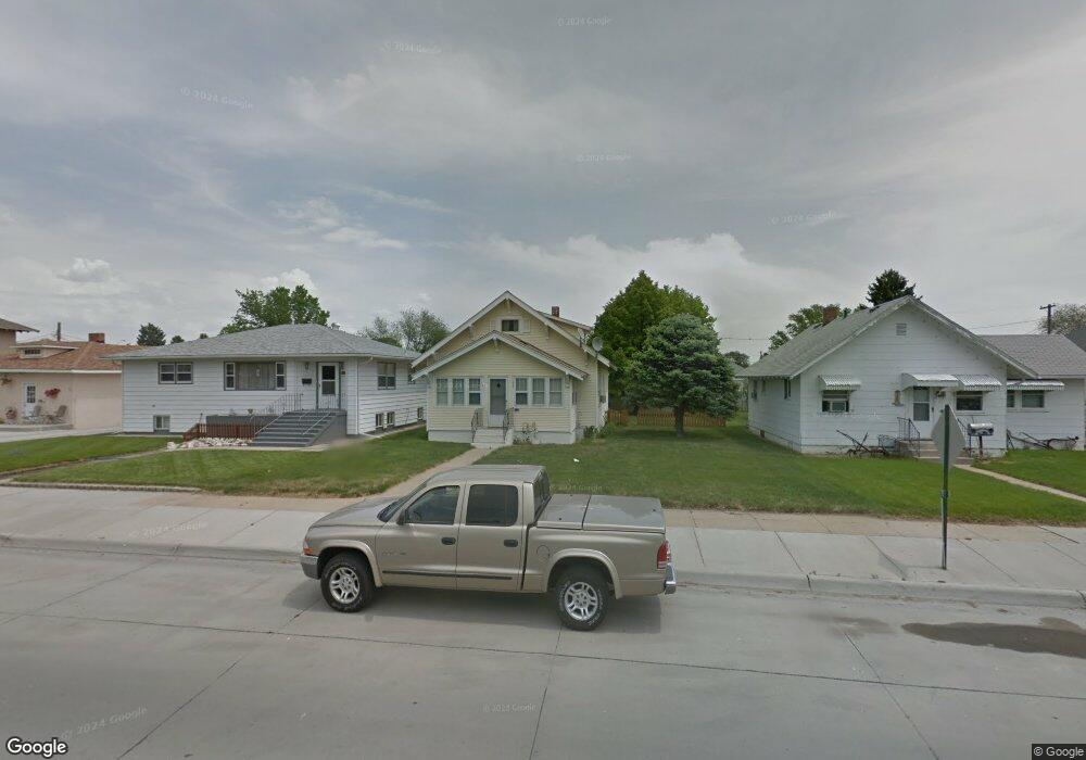
1427 19th Ave Mitchell, NE 69357
Estimated Value: $123,000 - $168,000
4
Beds
1
Bath
1,482
Sq Ft
$100/Sq Ft
Est. Value
About This Home
This home is located at 1427 19th Ave, Mitchell, NE 69357 and is currently estimated at $147,847, approximately $99 per square foot. 1427 19th Ave is a home located in Scotts Bluff County with nearby schools including Mitchell Elementary School and Mitchell Secondary School.
Ownership History
Date
Name
Owned For
Owner Type
Purchase Details
Closed on
Jan 12, 2022
Sold by
Franke Richard E and Franke Britny S
Bought by
Him Virgil Charge On
Current Estimated Value
Purchase Details
Closed on
Jul 19, 2012
Sold by
Fox Kelly and Mckenzie Kari
Bought by
Advancap Properties Llc
Purchase Details
Closed on
Apr 25, 2007
Sold by
Fox Jack R and Fox Beverlee L
Bought by
Fox Jack and Fox Family Trust
Create a Home Valuation Report for This Property
The Home Valuation Report is an in-depth analysis detailing your home's value as well as a comparison with similar homes in the area
Purchase History
| Date | Buyer | Sale Price | Title Company |
|---|---|---|---|
| Him Virgil Charge On | $165,000 | None Listed On Document | |
| Him Virgil Charge On | $165,000 | None Listed On Document | |
| Advancap Properties Llc | $48,000 | None Available | |
| Fox Jack | $7,555 | -- |
Source: Public Records
Tax History
| Year | Tax Paid | Tax Assessment Tax Assessment Total Assessment is a certain percentage of the fair market value that is determined by local assessors to be the total taxable value of land and additions on the property. | Land | Improvement |
|---|---|---|---|---|
| 2025 | $1,341 | $104,590 | $13,105 | $91,485 |
| 2024 | $1,398 | $104,590 | $13,105 | $91,485 |
| 2023 | $1,582 | $81,659 | $3,931 | $77,728 |
| 2022 | $1,582 | $81,659 | $3,931 | $77,728 |
| 2021 | $1,466 | $72,717 | $3,931 | $68,786 |
| 2020 | $1,409 | $68,823 | $3,931 | $64,892 |
| 2019 | $1,405 | $68,823 | $3,931 | $64,892 |
| 2018 | $1,374 | $66,327 | $3,931 | $62,396 |
| 2017 | $1,301 | $62,245 | $3,931 | $58,314 |
| 2016 | $1,301 | $62,245 | $3,931 | $58,314 |
| 2015 | $1,263 | $62,245 | $3,931 | $58,314 |
| 2014 | $1,277 | $62,245 | $3,931 | $58,314 |
| 2012 | -- | $59,468 | $3,931 | $55,537 |
Source: Public Records
Map
Nearby Homes
- 1803 Broadway St
- 1538 17th St
- 1421 Broadway St
- 1712 22nd Ave
- 1803 21st St
- CR K Cr 31
- 50160 Hilyard Dr
- 120793 Cr E
- 50090 Partridge Dr
- TBD Highway 29
- 150265 Cr F
- 120568 Cr H
- 0 County Road A
- Legacy Feeders Unit LLC
- 100199 Cr 15
- 100199 County Road 15
- 90681 Kelley Rd
- 100568 Cr 14
- 319 N Howard Ave
- 418 E Hamilton St
Your Personal Tour Guide
Ask me questions while you tour the home.