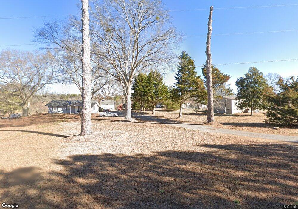
1427 Abrams Rd SE Silver Creek, GA 30173
Estimated Value: $100,000 - $347,046
3
Beds
1
Bath
1,056
Sq Ft
$190/Sq Ft
Est. Value
About This Home
This home is located at 1427 Abrams Rd SE, Silver Creek, GA 30173 and is currently estimated at $200,349, approximately $189 per square foot. 1427 Abrams Rd SE is a home located in Floyd County with nearby schools including Pepperell Middle School and Pepperell High School.
Ownership History
Date
Name
Owned For
Owner Type
Purchase Details
Closed on
Feb 14, 2019
Sold by
Evans Kevin Michael
Bought by
Wright Dylan and Gillespie Mary
Current Estimated Value
Purchase Details
Closed on
Oct 17, 2011
Sold by
Evans Erin Blair
Bought by
Evans Michael
Purchase Details
Closed on
Oct 28, 2010
Sold by
Kinard Virginia Holder
Bought by
Evans Michael
Purchase Details
Closed on
Apr 20, 1981
Bought by
P and R
Purchase Details
Closed on
Mar 29, 1974
Sold by
Wagoner Wagoner J and Wagoner Thelma
Bought by
Kinard James W Mr and Kinard Mrs
Purchase Details
Closed on
Oct 8, 1969
Bought by
Wagoner Wagoner J and Wagoner Thelma
Create a Home Valuation Report for This Property
The Home Valuation Report is an in-depth analysis detailing your home's value as well as a comparison with similar homes in the area
Home Values in the Area
Average Home Value in this Area
Purchase History
| Date | Buyer | Sale Price | Title Company |
|---|---|---|---|
| Wright Dylan | $112,000 | -- | |
| Evans Michael | -- | -- | |
| Evans Michael | $124,000 | -- | |
| P | $3,600 | -- | |
| Kinard James W Mr | $4,100 | -- | |
| Wagoner Wagoner J | -- | -- |
Source: Public Records
Tax History Compared to Growth
Tax History
| Year | Tax Paid | Tax Assessment Tax Assessment Total Assessment is a certain percentage of the fair market value that is determined by local assessors to be the total taxable value of land and additions on the property. | Land | Improvement |
|---|---|---|---|---|
| 2024 | $443 | $13,733 | $13,733 | $0 |
| 2023 | $393 | $12,485 | $12,485 | $0 |
| 2022 | $304 | $10,263 | $10,263 | $0 |
| 2021 | $280 | $9,264 | $9,264 | $0 |
| 2020 | $245 | $8,056 | $8,056 | $0 |
| 2019 | $242 | $8,056 | $8,056 | $0 |
| 2018 | $231 | $7,674 | $7,674 | $0 |
| 2017 | $214 | $7,105 | $7,105 | $0 |
| 2016 | $216 | $7,080 | $7,080 | $0 |
| 2015 | $211 | $7,080 | $7,080 | $0 |
| 2014 | $211 | $7,080 | $7,080 | $0 |
Source: Public Records
Map
Nearby Homes
- 1337 Abrams Rd SE
- 2557 Wax Rd SE
- 52 Lloyd Dr SE
- 110 Williams Rd SE
- 2011 Bailey Rd SE
- 344 Powell Rd SE
- 320 Brumbelow Rd
- 12 Lakemont Dr SE
- 463 Compton Rd SE
- 1424 Harmony Rd SE
- 16 Hardin Dr SE
- 00 John Kay Rd
- 119 Satcher Rd
- 0 Powell Rd SE Unit 10606945
- 0 John Kay Rd Unit 10497667
- 0 John Kay Rd Unit 22982738
- 0 John Kay Rd Unit 10451223
- 0 John Kay Rd Unit 10451216
- 0 John Kay Rd Unit 22961830
- 0 John Kay Rd Unit 7517782
- 1427 Abrams Rd SE
- 1441 Abrams Rd SE
- 1404 Abrams Rd SE
- 1398 Abrams Rd SE
- 1398 Abrams Rd SE
- 1463 Abrams Rd SE
- 1381 Abrams Rd SE
- 1383 Abrams Rd SE
- 1338 Abrams Rd SE
- 1332 Abrams Rd SE
- 1511 Abrams Rd SE
- 1511 Abrams Rd SE
- 1483 Abrams Rd SE
- 1405 Abrams Rd SE
- 1328 Abrams Rd SE
- 1481 Abrams Rd SE
- 1481 Abrams Rd SE
- 1484 Abrams Rd SE
- 1320 Abrams Rd SE
- 1310 Abrams Rd SE