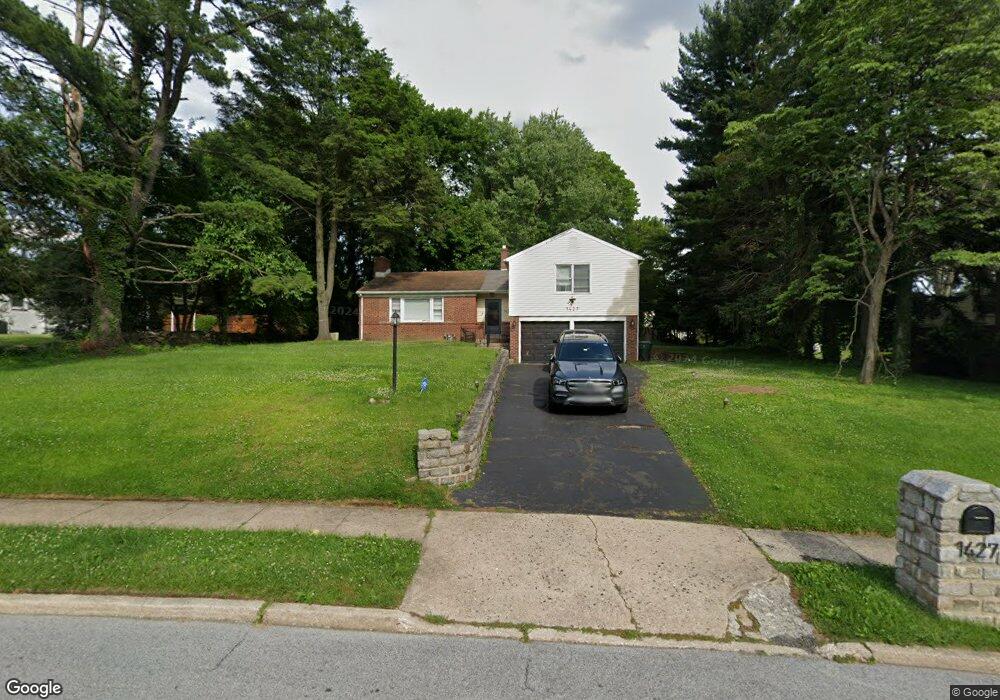
1427 Carol Rd Jenkintown, PA 19046
Estimated Value: $556,032 - $615,000
3
Beds
3
Baths
2,178
Sq Ft
$270/Sq Ft
Est. Value
About This Home
This home is located at 1427 Carol Rd, Jenkintown, PA 19046 and is currently estimated at $587,008, approximately $269 per square foot. 1427 Carol Rd is a home located in Montgomery County with nearby schools including Rydal East School, Abington Middle School, and Abington Senior High School.
Ownership History
Date
Name
Owned For
Owner Type
Purchase Details
Closed on
Mar 18, 2005
Sold by
Not Provided
Bought by
Not Provided
Current Estimated Value
Home Financials for this Owner
Home Financials are based on the most recent Mortgage that was taken out on this home.
Original Mortgage
$319,500
Outstanding Balance
$163,478
Interest Rate
5.75%
Mortgage Type
New Conventional
Estimated Equity
$423,530
Purchase Details
Closed on
Oct 29, 2004
Sold by
Not Provided
Bought by
Not Provided
Home Financials for this Owner
Home Financials are based on the most recent Mortgage that was taken out on this home.
Original Mortgage
$319,500
Interest Rate
5.75%
Mortgage Type
New Conventional
Purchase Details
Closed on
Jan 3, 1999
Sold by
Sacks Edward and Sacks Wilma
Bought by
Sacks Edward and Sacks Wilma
Create a Home Valuation Report for This Property
The Home Valuation Report is an in-depth analysis detailing your home's value as well as a comparison with similar homes in the area
Home Values in the Area
Average Home Value in this Area
Purchase History
| Date | Buyer | Sale Price | Title Company |
|---|---|---|---|
| Not Provided | $355,000 | -- | |
| Not Provided | $355,000 | -- | |
| Sacks Edward | -- | -- |
Source: Public Records
Mortgage History
| Date | Status | Borrower | Loan Amount |
|---|---|---|---|
| Open | Not Provided | $319,500 | |
| Previous Owner | Not Provided | $319,500 |
Source: Public Records
Tax History Compared to Growth
Tax History
| Year | Tax Paid | Tax Assessment Tax Assessment Total Assessment is a certain percentage of the fair market value that is determined by local assessors to be the total taxable value of land and additions on the property. | Land | Improvement |
|---|---|---|---|---|
| 2025 | $7,708 | $166,420 | $52,560 | $113,860 |
| 2024 | $7,708 | $166,420 | $52,560 | $113,860 |
| 2023 | $7,386 | $166,420 | $52,560 | $113,860 |
| 2022 | $7,149 | $166,420 | $52,560 | $113,860 |
| 2021 | $6,764 | $166,420 | $52,560 | $113,860 |
| 2020 | $6,667 | $166,420 | $52,560 | $113,860 |
| 2019 | $6,667 | $166,420 | $52,560 | $113,860 |
| 2018 | $6,667 | $166,420 | $52,560 | $113,860 |
| 2017 | $6,471 | $166,420 | $52,560 | $113,860 |
| 2016 | $6,406 | $166,420 | $52,560 | $113,860 |
| 2015 | $6,022 | $166,420 | $52,560 | $113,860 |
| 2014 | $6,022 | $166,420 | $52,560 | $113,860 |
Source: Public Records
Map
Nearby Homes
- 1341 Carol Rd
- 1425 Lindsay Ln
- 528 Hoyt Rd
- 1680 Huntingdon Pike Unit CONDO 235
- 1680 Huntingdon Pike Unit 228
- 1680 Huntingdon Pike Unit 210
- 1263 Gilbert Rd
- 1054 Marie Rd
- 1156 Mill Road Cir
- 1228 Imperial Rd
- 1111 Susquehanna Rd
- 833 Norfolk Rd
- 1035 Old Ford Rd
- 1321 Meadowbrook Ct
- 1106 Herkness Dr
- 926 Manor Ave
- 1930 Valley Rd
- 953 Old Ford Rd
- 905 Henrietta Ave
- 54 Moredon Rd
- 1421 Carol Rd
- 1422 Stephen Rd
- 1444 Stephen Rd
- 1414 Stephen Rd
- 1422 Carol Rd
- 1415 Carol Rd
- 1432 Carol Rd
- 1400 Stephen Rd
- 1440 Carol Rd
- 1376 Michael Rd
- 1375 Glenbrook Rd
- 1401 Carol Rd
- 1364 Michael Rd
- 1381 Glenbrook Rd
- 1439 Stephen Rd
- 1446 Carol Rd
- 1425 Stephen Rd
- 1417 Stephen Rd
- 1451 Stephen Rd
- 1389 Glenbrook Rd