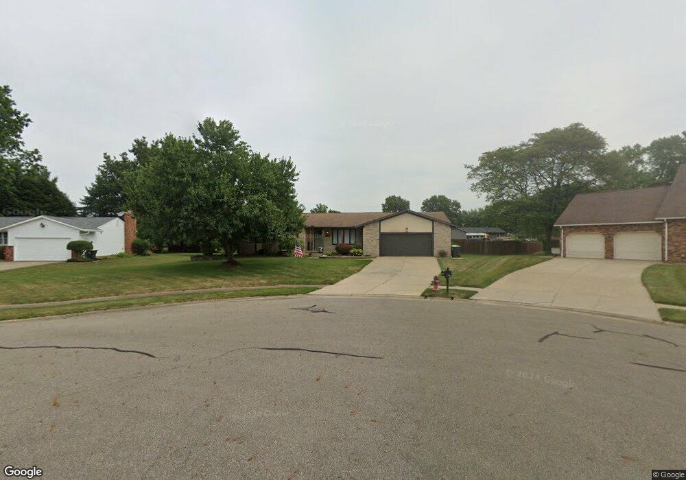
1427 High St Louisville, OH 44641
Estimated Value: $229,707 - $257,000
3
Beds
2
Baths
1,541
Sq Ft
$161/Sq Ft
Est. Value
About This Home
This home is located at 1427 High St, Louisville, OH 44641 and is currently estimated at $247,677, approximately $160 per square foot. 1427 High St is a home located in Stark County with nearby schools including Louisville High School and St. Thomas Aquinas High School & Middle School.
Ownership History
Date
Name
Owned For
Owner Type
Purchase Details
Closed on
Aug 1, 2008
Sold by
Walker Doris Elaine
Bought by
Wolfe Andrew J and Wolfe Stacey R
Current Estimated Value
Home Financials for this Owner
Home Financials are based on the most recent Mortgage that was taken out on this home.
Original Mortgage
$132,565
Interest Rate
6.39%
Mortgage Type
Seller Take Back
Create a Home Valuation Report for This Property
The Home Valuation Report is an in-depth analysis detailing your home's value as well as a comparison with similar homes in the area
Home Values in the Area
Average Home Value in this Area
Purchase History
| Date | Buyer | Sale Price | Title Company |
|---|---|---|---|
| Wolfe Andrew J | $135,000 | Attorney |
Source: Public Records
Mortgage History
| Date | Status | Borrower | Loan Amount |
|---|---|---|---|
| Closed | Wolfe Andrew J | $132,565 |
Source: Public Records
Tax History Compared to Growth
Tax History
| Year | Tax Paid | Tax Assessment Tax Assessment Total Assessment is a certain percentage of the fair market value that is determined by local assessors to be the total taxable value of land and additions on the property. | Land | Improvement |
|---|---|---|---|---|
| 2025 | -- | $68,990 | $19,150 | $49,840 |
| 2024 | -- | $68,990 | $19,150 | $49,840 |
| 2023 | $2,713 | $63,140 | $18,060 | $45,080 |
| 2022 | $2,719 | $63,140 | $18,060 | $45,080 |
| 2021 | $2,727 | $63,140 | $18,060 | $45,080 |
| 2020 | $2,247 | $56,500 | $16,280 | $40,220 |
| 2019 | $2,256 | $56,180 | $15,960 | $40,220 |
| 2018 | $2,235 | $56,180 | $15,960 | $40,220 |
| 2017 | $2,095 | $50,830 | $14,040 | $36,790 |
| 2016 | $2,138 | $50,830 | $14,040 | $36,790 |
| 2015 | $2,145 | $50,830 | $14,040 | $36,790 |
| 2014 | $1,994 | $43,930 | $12,110 | $31,820 |
| 2013 | $1,001 | $43,930 | $12,110 | $31,820 |
Source: Public Records
Map
Nearby Homes
- 1715 High St
- 641 S Nickelplate St
- 1812 E Broad St
- 308 Superior St
- 520 S Silver St
- 728 E Broad St
- 0 Michigan Blvd
- 2110 Edmar St
- 510 S Bauman Ct
- 204 E Broad St
- 2015 E Main St
- 107 E Broad St
- 908 Sand Lot Cir
- 325 Lincoln Ave
- 1170 Winding Ridge Ave
- 910 Crosswyck Cir
- 1702 View Pointe Ave
- 3390 Meese Rd NE
- 1639 Horizon Dr
- 428 Honeycrisp Dr NE